Estimated Value: $107,415
--
Bed
--
Bath
1,400
Sq Ft
$77/Sq Ft
Est. Value
About This Home
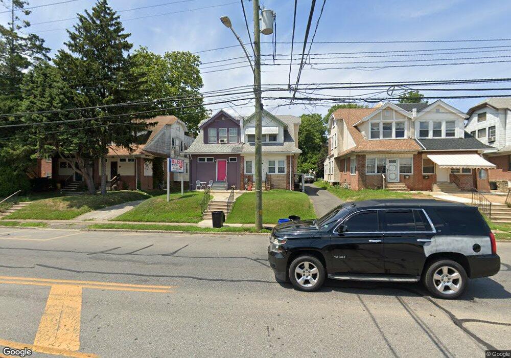
This home is located at 917 Macdade Blvd, Darby, PA 19023 and is currently estimated at $107,415, approximately $76 per square foot. 917 Macdade Blvd is a home located in Delaware County with nearby schools including Harris School, Academy Park High School, and Liberty Baptist Academy.
Ownership History
Date
Name
Owned For
Owner Type
Purchase Details
Closed on
Oct 30, 2019
Sold by
Kabil Abdallar
Bought by
Aysel Llc
Current Estimated Value
Purchase Details
Closed on
Jan 25, 2002
Sold by
Axelrod Harriet
Bought by
Kabil Abdallah E
Create a Home Valuation Report for This Property
The Home Valuation Report is an in-depth analysis detailing your home's value as well as a comparison with similar homes in the area
Home Values in the Area
Average Home Value in this Area
Purchase History
| Date | Buyer | Sale Price | Title Company |
|---|---|---|---|
| Aysel Llc | $50,000 | Haverford Abstract Llc | |
| Kabil Abdallah E | $90,000 | Fidelity National Title Ins |
Source: Public Records
Mortgage History
| Date | Status | Borrower | Loan Amount |
|---|---|---|---|
| Closed | Kabil Abdallah E | $0 |
Source: Public Records
Tax History Compared to Growth
Tax History
| Year | Tax Paid | Tax Assessment Tax Assessment Total Assessment is a certain percentage of the fair market value that is determined by local assessors to be the total taxable value of land and additions on the property. | Land | Improvement |
|---|---|---|---|---|
| 2025 | $5,356 | $118,270 | $64,200 | $54,070 |
| 2024 | $5,356 | $118,270 | $64,200 | $54,070 |
| 2023 | $5,214 | $118,270 | $64,200 | $54,070 |
| 2022 | $5,016 | $118,270 | $64,200 | $54,070 |
| 2021 | $6,908 | $118,270 | $64,200 | $54,070 |
| 2020 | $5,592 | $87,980 | $21,400 | $66,580 |
| 2019 | $5,391 | $87,980 | $21,400 | $66,580 |
| 2018 | $5,271 | $87,980 | $0 | $0 |
| 2017 | $5,173 | $87,980 | $0 | $0 |
| 2016 | $493 | $87,980 | $0 | $0 |
| 2015 | $493 | $87,980 | $0 | $0 |
| 2014 | $493 | $87,980 | $0 | $0 |
Source: Public Records
Map
Nearby Homes
- 222 Collingdale Ave
- 164 Wayne Ave
- 149 Wayne Ave
- 308 Clifton Ave
- 1011 Andrews Ave
- 1025 Andrews Ave
- 126 Hansen Terrace
- 50 Foster Ave
- 933 Bedford Ave
- 924 Pitman Ave
- 118 Juliana Terrace
- 44 High St
- 921 Pitman Ave
- 230 Felton Ave
- 605 Andrews Ave
- 81 Florence Ave
- 235 Felton Ave
- 515 Andrews Ave
- 539 Pershing Ave
- 71 Burnside Ave
- 919 Macdade Blvd
- 915 Macdade Blvd
- 921 Macdade Blvd
- 913 Macdade Blvd
- 911 Macdade Blvd
- 205 Blunston Ave
- 215 Blunston Ave
- 201 Blunston Ave
- 909 Macdade Blvd
- 213 Blunston Ave
- 217 Blunston Ave
- 907 Macdade Blvd
- 219 Blunston Ave
- 221 Blunston Ave
- 929 Macdade Blvd
- 223 Blunston Ave
- 216 Collingdale Ave Unit 3
- 216 Collingdale Ave Unit 4
- 216 Collingdale Ave Unit 5
- 216 Collingdale Ave Unit 1