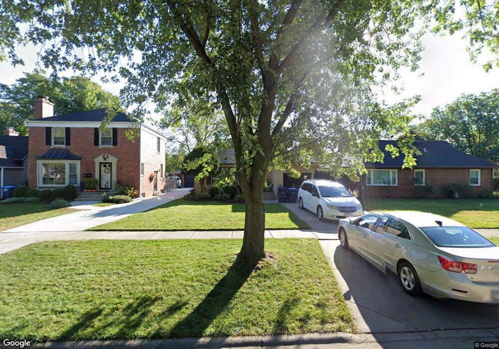
917 Margret St Des Plaines, IL 60016
Estimated Value: $376,414 - $400,000
3
Beds
1
Bath
1,293
Sq Ft
$298/Sq Ft
Est. Value
About This Home
This home is located at 917 Margret St, Des Plaines, IL 60016 and is currently estimated at $385,354, approximately $298 per square foot. 917 Margret St is a home located in Cook County with nearby schools including Forest Elementary School, Algonquin Middle School, and Maine West High School.
Ownership History
Date
Name
Owned For
Owner Type
Purchase Details
Closed on
Dec 17, 1997
Sold by
Kaspari Paul B and Kaspari Teresa A
Bought by
Vicens Isaac and Vicens Peggy E
Current Estimated Value
Home Financials for this Owner
Home Financials are based on the most recent Mortgage that was taken out on this home.
Original Mortgage
$148,950
Interest Rate
7.12%
Create a Home Valuation Report for This Property
The Home Valuation Report is an in-depth analysis detailing your home's value as well as a comparison with similar homes in the area
Home Values in the Area
Average Home Value in this Area
Purchase History
| Date | Buyer | Sale Price | Title Company |
|---|---|---|---|
| Vicens Isaac | $165,500 | -- |
Source: Public Records
Mortgage History
| Date | Status | Borrower | Loan Amount |
|---|---|---|---|
| Previous Owner | Vicens Isaac | $148,950 |
Source: Public Records
Tax History Compared to Growth
Tax History
| Year | Tax Paid | Tax Assessment Tax Assessment Total Assessment is a certain percentage of the fair market value that is determined by local assessors to be the total taxable value of land and additions on the property. | Land | Improvement |
|---|---|---|---|---|
| 2024 | $6,772 | $29,000 | $5,580 | $23,420 |
| 2023 | $6,582 | $29,000 | $5,580 | $23,420 |
| 2022 | $6,582 | $29,000 | $5,580 | $23,420 |
| 2021 | $7,532 | $27,834 | $4,464 | $23,370 |
| 2020 | $7,474 | $27,834 | $4,464 | $23,370 |
| 2019 | $7,400 | $30,927 | $4,464 | $26,463 |
| 2018 | $5,866 | $23,050 | $3,906 | $19,144 |
| 2017 | $5,780 | $23,050 | $3,906 | $19,144 |
| 2016 | $5,711 | $23,050 | $3,906 | $19,144 |
| 2015 | $5,216 | $19,878 | $3,348 | $16,530 |
| 2014 | $5,123 | $19,878 | $3,348 | $16,530 |
| 2013 | $4,977 | $19,878 | $3,348 | $16,530 |
Source: Public Records
Map
Nearby Homes
- 915 Graceland Ave Unit 1E
- 881 E Thacker St
- 886 E Thacker St
- 799 Graceland Ave Unit 504A
- 648 1st Ave
- 858 E Grant Dr
- 1365 Ashland Ave Unit 302
- 911 E Villa Dr
- 843 Lexington Cir E
- 905 Center St Unit B507
- 905 Center St Unit B208
- 1056 E Villa Dr
- 821 Lexington Cir E
- 714 E Thacker St
- 1157 W Grant Dr
- 1057 Hollywood Ave
- 1524 Oakwood Ave
- 750 Pearson St Unit 904
- 1325 Perry St Unit 401
- 1374 Jefferson St
- 913 Margret St
- 1088 Oakwood Ave
- 905 Margret St
- 901 Margret St
- 895 Margret St
- 924 Jeannette St
- 914 Jeannette St
- 1120 Oakwood Ave
- 893 Margret St
- 908 Jeannette St
- 924 Margret St
- 902 Jeannette St
- 939 Margret St
- 912 Margret St
- 881 Margret St
- 894 Jeannette St
- 1095 Oakwood Ave
- 900 Margret St
- 884 Jeannette St
- 1105 Oakwood Ave