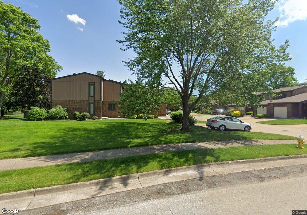
917 Morningstar Dr Unit 917 Akron, OH 44307
Downtown Akron NeighborhoodEstimated Value: $136,292 - $158,000
3
Beds
2
Baths
1,188
Sq Ft
$126/Sq Ft
Est. Value
About This Home
This home is located at 917 Morningstar Dr Unit 917, Akron, OH 44307 and is currently estimated at $149,823, approximately $126 per square foot. 917 Morningstar Dr Unit 917 is a home located in Summit County with nearby schools including St. Bernard-St. Mary Elementary School.
Ownership History
Date
Name
Owned For
Owner Type
Purchase Details
Closed on
Dec 21, 2002
Sold by
Do Yen
Bought by
Toth Michael D
Current Estimated Value
Home Financials for this Owner
Home Financials are based on the most recent Mortgage that was taken out on this home.
Original Mortgage
$68,000
Outstanding Balance
$28,431
Interest Rate
5.87%
Estimated Equity
$121,392
Purchase Details
Closed on
Jun 8, 1998
Sold by
Henning Joseph R
Bought by
Thai Khanh H
Home Financials for this Owner
Home Financials are based on the most recent Mortgage that was taken out on this home.
Original Mortgage
$73,800
Interest Rate
7.27%
Mortgage Type
FHA
Create a Home Valuation Report for This Property
The Home Valuation Report is an in-depth analysis detailing your home's value as well as a comparison with similar homes in the area
Home Values in the Area
Average Home Value in this Area
Purchase History
| Date | Buyer | Sale Price | Title Company |
|---|---|---|---|
| Toth Michael D | $85,000 | Valley Title Agency | |
| Thai Khanh H | $75,500 | -- |
Source: Public Records
Mortgage History
| Date | Status | Borrower | Loan Amount |
|---|---|---|---|
| Open | Toth Michael D | $68,000 | |
| Previous Owner | Thai Khanh H | $73,800 | |
| Closed | Toth Michael D | $17,000 |
Source: Public Records
Tax History Compared to Growth
Tax History
| Year | Tax Paid | Tax Assessment Tax Assessment Total Assessment is a certain percentage of the fair market value that is determined by local assessors to be the total taxable value of land and additions on the property. | Land | Improvement |
|---|---|---|---|---|
| 2025 | $1,628 | $29,820 | $3,801 | $26,019 |
| 2024 | $1,628 | $29,820 | $3,801 | $26,019 |
| 2023 | $1,628 | $29,820 | $3,801 | $26,019 |
| 2022 | $1,750 | $25,327 | $3,224 | $22,103 |
| 2021 | $1,752 | $25,327 | $3,224 | $22,103 |
| 2020 | $1,726 | $25,320 | $3,220 | $22,100 |
| 2019 | $1,617 | $21,470 | $3,220 | $18,250 |
| 2018 | $1,595 | $21,480 | $3,120 | $18,360 |
| 2017 | $1,414 | $21,480 | $3,120 | $18,360 |
| 2016 | $1,416 | $18,570 | $3,120 | $15,450 |
| 2015 | $1,414 | $18,570 | $3,120 | $15,450 |
| 2014 | $1,403 | $18,570 | $3,120 | $15,450 |
| 2013 | $1,921 | $26,510 | $3,120 | $23,390 |
Source: Public Records
Map
Nearby Homes
- 263 Millcreek Dr Unit 263
- 385 Campbell St
- 783 Boulevard St
- 108 Furnace Run Dr Unit 14108
- 949 Raymond St
- 810 Amherst St
- 834 Kenyon St
- 817 Raymond St
- 849 Amherst St
- 832 Yale St
- 829 Yale St
- 837 Yale St
- 151 Russell Ave
- 849 Yale St
- 577 Rhodes Ave
- 677 Vernon Odom Blvd
- 639 Bellevue Ave
- 483 Bishop St
- 650 Easter Ave
- 1132 Bristol Terrace
- 919 Morningstar Dr
- 921 Morningstar Dr
- 923 Morningstar Dr Unit 923
- 920 Morningstar Dr
- 918 Morningstar Dr Unit 918
- 926 Morningstar Dr
- 922 Morningstar Dr Unit 922
- 942 Trimble Dr Unit 942
- 924 Morningstar Dr Unit 924
- 928 Morningstar Dr Unit 928
- 940 Trimble Dr
- 944 Trimble Dr Unit 944
- 929 Morningstar Dr Unit 929
- 938 Trimble Dr Unit 938
- 931 Morningstar Dr
- 901 Wicket Dr
- 957 Trimble Dr
- 955 Trimble Dr Unit 955
- 933 Morningstar Dr
- 935 Morningstar Dr Unit 935