917 Price Rd Honey Grove, PA 17035
Estimated Value: $61,386 - $273,000
3
Beds
2
Baths
1,064
Sq Ft
$183/Sq Ft
Est. Value
About This Home
This home is located at 917 Price Rd, Honey Grove, PA 17035 and is currently estimated at $195,129, approximately $183 per square foot. 917 Price Rd is a home with nearby schools including Juniata Elementary School, Tuscarora Middle School, and Juniata Senior High School.
Ownership History
Date
Name
Owned For
Owner Type
Purchase Details
Closed on
May 14, 2020
Sold by
Milliken Joan M and Wilt Jerry L
Bought by
Coulter Jason A and Coulter Katrina E
Current Estimated Value
Home Financials for this Owner
Home Financials are based on the most recent Mortgage that was taken out on this home.
Original Mortgage
$475,000
Outstanding Balance
$397,626
Interest Rate
2.62%
Mortgage Type
USDA
Estimated Equity
-$202,497
Create a Home Valuation Report for This Property
The Home Valuation Report is an in-depth analysis detailing your home's value as well as a comparison with similar homes in the area
Home Values in the Area
Average Home Value in this Area
Purchase History
| Date | Buyer | Sale Price | Title Company |
|---|---|---|---|
| Coulter Jason A | $472,000 | None Available |
Source: Public Records
Mortgage History
| Date | Status | Borrower | Loan Amount |
|---|---|---|---|
| Open | Coulter Jason A | $475,000 |
Source: Public Records
Tax History Compared to Growth
Tax History
| Year | Tax Paid | Tax Assessment Tax Assessment Total Assessment is a certain percentage of the fair market value that is determined by local assessors to be the total taxable value of land and additions on the property. | Land | Improvement |
|---|---|---|---|---|
| 2025 | $1,514 | $13,860 | $0 | $13,860 |
| 2024 | $1,378 | $13,860 | $0 | $13,860 |
| 2023 | $1,329 | $13,860 | $0 | $13,860 |
| 2022 | $1,306 | $13,860 | $0 | $13,860 |
| 2021 | $13 | $13,860 | $0 | $13,860 |
| 2020 | $12 | $13,860 | $0 | $13,860 |
| 2019 | $12 | $13,860 | $0 | $13,860 |
| 2018 | $12 | $13,860 | $0 | $13,860 |
| 2017 | -- | $13,860 | $0 | $13,860 |
| 2016 | $1,151 | $13,860 | $0 | $13,860 |
| 2015 | -- | $13,860 | $0 | $13,860 |
| 2014 | -- | $13,860 | $0 | $13,860 |
Source: Public Records
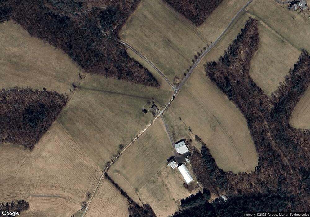
Map
Nearby Homes
- 729 Gloss Rd
- 8980 Pennsylvania 35
- 52 Middle St
- 848 Bunker Hill Rd
- 10257 Fort Robinson Rd
- 31 Neely Rd
- 00 Horse Valley Rd
- 8120 Fort Robinson Rd
- 241 Tobias Dr
- 1180 Campbell Hollow Rd
- 745 Germantown Rd
- 335 E Main St
- 2478 S Route 35
- 56 Church Rd
- 3064 Berry Ridge Rd
- 0 Heritage Hills Rd
- 215 Wolfgang Ln
- 88 Farm House
- 59 Bedford Trail
- 10 Flat Land Rd
- 1124 Price Rd
- 653 Price Rd
- 964 Price Rd
- 2623 Smokey Hollow Rd
- 109 Mcnaughton Ln
- 340 Mcnaughton Ln
- 0000 Smokey Hollow Rd
- 151 Sable Run Ln
- 74 Gilbow Hill Rd
- 1087 Route 850
- 213 Lazy h Ln
- 88 Odonell Dr
- 1495 Willow Run Rd
- 1549 Willow Run Rd
- 2582 Middle Rd
- 245 Rr St
- 2440 Smokey Hollow Rd
- 1828 Middle Rd
- 1446 Middle Rd
- Route 850 Route 850