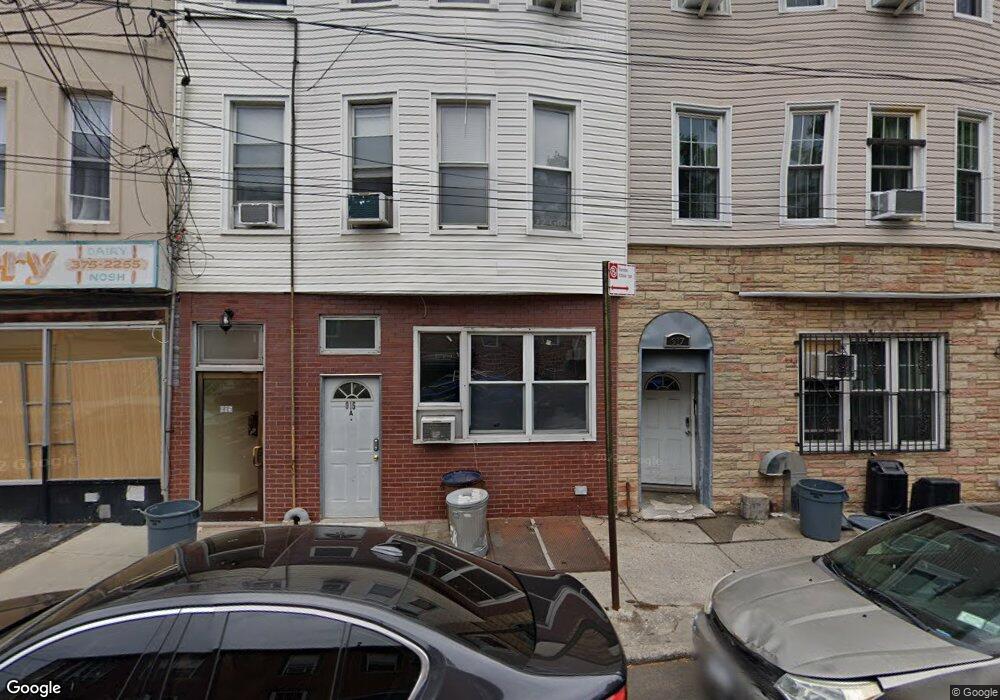
917 Roder Ave Brooklyn, NY 11230
Midwood NeighborhoodEstimated Value: $1,331,820 - $2,031,000
Studio
--
Bath
3,000
Sq Ft
$543/Sq Ft
Est. Value
About This Home
This home is located at 917 Roder Ave, Brooklyn, NY 11230 and is currently estimated at $1,627,940, approximately $542 per square foot. 917 Roder Ave is a home located in Kings County with nearby schools including P.S. 199 - Frederick Wachtel, Andries Hudde School, and James Madison High School.
Ownership History
Date
Name
Owned For
Owner Type
Purchase Details
Closed on
Dec 6, 2018
Sold by
917 Roder Llc
Bought by
Dahan Avraham
Current Estimated Value
Home Financials for this Owner
Home Financials are based on the most recent Mortgage that was taken out on this home.
Original Mortgage
$825,000
Outstanding Balance
$726,843
Interest Rate
4.8%
Mortgage Type
Purchase Money Mortgage
Estimated Equity
$901,097
Purchase Details
Closed on
May 11, 2015
Sold by
Schischa Simon and Schischa Theodore
Bought by
917 Roder Llc
Purchase Details
Closed on
Apr 3, 2014
Sold by
Horan Anthony
Bought by
Schischa Simon and Schischa Theodore
Purchase Details
Closed on
Oct 1, 2012
Sold by
Olvina Deceased Aida
Bought by
Horan Anthony
Create a Home Valuation Report for This Property
The Home Valuation Report is an in-depth analysis detailing your home's value as well as a comparison with similar homes in the area
Home Values in the Area
Average Home Value in this Area
Purchase History
| Date | Buyer | Sale Price | Title Company |
|---|---|---|---|
| Dahan Avraham | $1,100,000 | -- | |
| 917 Roder Llc | -- | -- | |
| Schischa Simon | $575,000 | -- | |
| Horan Anthony | -- | -- |
Source: Public Records
Mortgage History
| Date | Status | Borrower | Loan Amount |
|---|---|---|---|
| Open | Dahan Avraham | $825,000 |
Source: Public Records
Tax History
| Year | Tax Paid | Tax Assessment Tax Assessment Total Assessment is a certain percentage of the fair market value that is determined by local assessors to be the total taxable value of land and additions on the property. | Land | Improvement |
|---|---|---|---|---|
| 2025 | $7,340 | $141,600 | $27,600 | $114,000 |
| 2024 | $7,340 | $116,700 | $27,600 | $89,100 |
| 2023 | $7,072 | $110,520 | $27,600 | $82,920 |
| 2022 | $6,952 | $110,160 | $27,600 | $82,560 |
| 2021 | $7,199 | $92,640 | $27,600 | $65,040 |
| 2020 | $3,376 | $87,840 | $27,600 | $60,240 |
| 2019 | $6,371 | $87,840 | $27,600 | $60,240 |
| 2018 | $5,916 | $29,020 | $10,662 | $18,358 |
| 2017 | $5,916 | $29,020 | $12,546 | $16,474 |
| 2016 | $5,699 | $28,507 | $14,750 | $13,757 |
| 2015 | $3,302 | $26,896 | $19,195 | $7,701 |
Source: Public Records
Map
Nearby Homes
- 1242 E 10th St
- 1322 E 14th St Unit 3B
- 1322 E 14th St Unit 4B
- 1360 Ocean Pkwy Unit 3A
- 1350 Ocean Pkwy Unit 3F
- 1201 E 10th St
- 1820 Coney Island Ave
- 1489 E 10th St
- 1324 Avenue N
- 1333 E 14th St Unit BLDG
- 1489 E 8th St Unit C2
- 1402 Avenue N
- 1827 Coney Island Ave
- 1250 Ocean Pkwy Unit 6R
- 1250 Ocean Pkwy Unit 6A
- 1492 E 12th St Unit 4A
- 1492 E 12th St Unit 3A
- 1378 E 5th St
- 1427 E 4th St
- 1848 Coney Island Ave
Your Personal Tour Guide
Ask me questions while you tour the home.