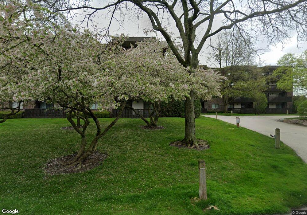
917 Vose Dr Gurnee, IL 60031
Estimated Value: $186,000 - $222,000
2
Beds
2
Baths
1,380
Sq Ft
$148/Sq Ft
Est. Value
About This Home
This home is located at 917 Vose Dr, Gurnee, IL 60031 and is currently estimated at $204,102, approximately $147 per square foot. 917 Vose Dr is a home located in Lake County with nearby schools including Woodland Primary School, Woodland Elementary School, and Woodland Intermediate School.
Ownership History
Date
Name
Owned For
Owner Type
Purchase Details
Closed on
Sep 26, 2012
Sold by
Smith William J and Smith Annabelle
Bought by
Perkins Diane
Current Estimated Value
Home Financials for this Owner
Home Financials are based on the most recent Mortgage that was taken out on this home.
Original Mortgage
$72,800
Outstanding Balance
$51,684
Interest Rate
3.75%
Mortgage Type
New Conventional
Estimated Equity
$131,775
Purchase Details
Closed on
Jan 15, 1996
Sold by
Smith William and Smith Annabelle
Bought by
Smith William J and Smith Annabelle
Purchase Details
Closed on
Jul 20, 1995
Sold by
Nbd Bank
Bought by
Smith William and Smith Annabelle
Create a Home Valuation Report for This Property
The Home Valuation Report is an in-depth analysis detailing your home's value as well as a comparison with similar homes in the area
Home Values in the Area
Average Home Value in this Area
Purchase History
| Date | Buyer | Sale Price | Title Company |
|---|---|---|---|
| Perkins Diane | $91,000 | 1St American Title | |
| Smith William J | -- | -- | |
| Smith William | $92,500 | Imperial Land Title Inc |
Source: Public Records
Mortgage History
| Date | Status | Borrower | Loan Amount |
|---|---|---|---|
| Open | Perkins Diane | $72,800 |
Source: Public Records
Tax History Compared to Growth
Tax History
| Year | Tax Paid | Tax Assessment Tax Assessment Total Assessment is a certain percentage of the fair market value that is determined by local assessors to be the total taxable value of land and additions on the property. | Land | Improvement |
|---|---|---|---|---|
| 2024 | $1,265 | $51,143 | $3,608 | $47,535 |
| 2023 | $1,743 | $46,098 | $3,252 | $42,846 |
| 2022 | $1,743 | $40,283 | $3,251 | $37,032 |
| 2021 | $1,645 | $38,667 | $3,121 | $35,546 |
| 2020 | $1,634 | $37,716 | $3,044 | $34,672 |
| 2019 | $1,615 | $38,889 | $2,956 | $35,933 |
| 2018 | $1,642 | $34,769 | $2,907 | $31,862 |
| 2017 | $1,650 | $33,773 | $2,824 | $30,949 |
| 2016 | $1,718 | $32,269 | $2,698 | $29,571 |
| 2015 | $1,771 | $30,604 | $2,559 | $28,045 |
| 2014 | $1,766 | $28,877 | $2,525 | $26,352 |
| 2012 | $3,221 | $29,098 | $2,544 | $26,554 |
Source: Public Records
Map
Nearby Homes
- 917 Vose Dr Unit 304
- 920 Vose Dr Unit 612
- 6162 Crossland Blvd Unit 3
- 758 Sizer Rd Unit U178
- 741 Colby Ct Unit U42
- 6121 Brookstone Place
- 6109 Golfview Dr
- 716 Darnell Ln
- 6273 Eagle Ridge Dr
- 651 White Ct
- 648 White Ct
- 613 Dunham Rd Unit U332
- 6406 Cunningham Ct
- 16961 W Serranda Dr Unit 30
- 638 Dordan Ct
- 711 Creekside Cir Unit 103
- 33430 N Hunt Club Rd
- 640 Wilbur Ct
- 6191 Oakmont Ln
- 455 Hickory Haven Dr E