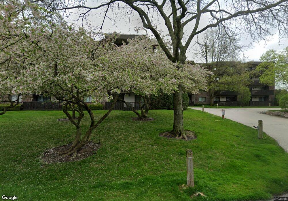
917 Vose Dr Gurnee, IL 60031
Estimated Value: $170,000 - $222,000
2
Beds
2
Baths
1,200
Sq Ft
$158/Sq Ft
Est. Value
About This Home
This home is located at 917 Vose Dr, Gurnee, IL 60031 and is currently estimated at $189,201, approximately $157 per square foot. 917 Vose Dr is a home located in Lake County with nearby schools including Woodland Primary School, Woodland Elementary School, and Woodland Intermediate School.
Ownership History
Date
Name
Owned For
Owner Type
Purchase Details
Closed on
Jul 30, 2013
Sold by
Phillips Mark W
Bought by
Phillips Mark W and Phillips Lamanda K
Current Estimated Value
Purchase Details
Closed on
Feb 27, 2013
Sold by
First Midwest Bank
Bought by
Phillips Mark W
Purchase Details
Closed on
Sep 10, 2002
Sold by
Evans Muriel
Bought by
Evans Muriel and The Muriel Evans Trust
Purchase Details
Closed on
Mar 15, 1996
Sold by
Evans Muriel
Bought by
Evans Muriel
Create a Home Valuation Report for This Property
The Home Valuation Report is an in-depth analysis detailing your home's value as well as a comparison with similar homes in the area
Home Values in the Area
Average Home Value in this Area
Purchase History
| Date | Buyer | Sale Price | Title Company |
|---|---|---|---|
| Phillips Mark W | -- | None Available | |
| Phillips Mark W | -- | None Available | |
| Evans Muriel | -- | -- | |
| Evans Muriel | -- | -- |
Source: Public Records
Tax History Compared to Growth
Tax History
| Year | Tax Paid | Tax Assessment Tax Assessment Total Assessment is a certain percentage of the fair market value that is determined by local assessors to be the total taxable value of land and additions on the property. | Land | Improvement |
|---|---|---|---|---|
| 2024 | $3,965 | $44,763 | $3,168 | $41,595 |
| 2023 | $3,574 | $40,348 | $2,855 | $37,493 |
| 2022 | $3,574 | $36,664 | $2,856 | $33,808 |
| 2021 | $3,238 | $35,193 | $2,741 | $32,452 |
| 2020 | $3,138 | $34,328 | $2,674 | $31,654 |
| 2019 | $3,051 | $33,331 | $2,596 | $30,735 |
| 2018 | $2,130 | $30,478 | $2,551 | $27,927 |
| 2017 | $2,733 | $29,605 | $2,478 | $27,127 |
| 2016 | $2,719 | $28,287 | $2,368 | $25,919 |
| 2015 | $2,658 | $26,828 | $2,246 | $24,582 |
| 2014 | $2,491 | $25,342 | $2,216 | $23,126 |
| 2012 | $2,829 | $25,536 | $2,233 | $23,303 |
Source: Public Records
Map
Nearby Homes
- 917 Vose Dr Unit 304
- 920 Vose Dr Unit 304
- 920 Vose Dr Unit 106
- 920 Vose Dr Unit 105
- 914 Vose Dr
- 6141 Crossland Blvd
- 776 Chandler Rd
- 741 Colby Ct Unit U42
- 6121 Brookstone Place
- 690 Chandler Rd Unit 102
- 690 Chandler Rd Unit 207
- 690 Chandler Rd Unit 305
- 650 Whitney Ct Unit 108
- 650 Whitney Ct Unit 203
- 651 White Ct
- 638 Dordan Ct
- 711 Creekside Cir Unit 103
- 761 Creekside Cir Unit 93
- 600 Creekside Cir Unit 85
- 6296 Doral Dr