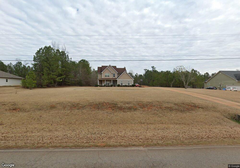
917 Weldon Rd Forsyth, GA 31029
Estimated Value: $301,000 - $310,779
4
Beds
3
Baths
2,217
Sq Ft
$139/Sq Ft
Est. Value
About This Home
This home is located at 917 Weldon Rd, Forsyth, GA 31029 and is currently estimated at $307,260, approximately $138 per square foot. 917 Weldon Rd is a home located in Monroe County with nearby schools including Katherine B. Sutton Elementary School and Mary Persons High School.
Ownership History
Date
Name
Owned For
Owner Type
Purchase Details
Closed on
Aug 26, 2008
Sold by
Accelerated Concrete Const
Bought by
Bowden Milton T and Bowden Brenda L
Current Estimated Value
Home Financials for this Owner
Home Financials are based on the most recent Mortgage that was taken out on this home.
Original Mortgage
$174,676
Outstanding Balance
$112,516
Interest Rate
6.21%
Mortgage Type
New Conventional
Estimated Equity
$194,744
Purchase Details
Closed on
Feb 23, 2007
Sold by
Smith Russell
Bought by
Accelerated Concrete Const Llc
Home Financials for this Owner
Home Financials are based on the most recent Mortgage that was taken out on this home.
Original Mortgage
$149,250
Interest Rate
6.19%
Mortgage Type
New Conventional
Create a Home Valuation Report for This Property
The Home Valuation Report is an in-depth analysis detailing your home's value as well as a comparison with similar homes in the area
Home Values in the Area
Average Home Value in this Area
Purchase History
| Date | Buyer | Sale Price | Title Company |
|---|---|---|---|
| Bowden Milton T | $171,000 | -- | |
| Accelerated Concrete Const Llc | $32,500 | -- |
Source: Public Records
Mortgage History
| Date | Status | Borrower | Loan Amount |
|---|---|---|---|
| Open | Bowden Milton T | $174,676 | |
| Previous Owner | Accelerated Concrete Const Llc | $149,250 |
Source: Public Records
Tax History
| Year | Tax Paid | Tax Assessment Tax Assessment Total Assessment is a certain percentage of the fair market value that is determined by local assessors to be the total taxable value of land and additions on the property. | Land | Improvement |
|---|---|---|---|---|
| 2025 | $2,138 | $87,960 | $13,000 | $74,960 |
| 2024 | $2,138 | $87,960 | $13,000 | $74,960 |
| 2023 | $2,052 | $75,480 | $13,000 | $62,480 |
| 2022 | $1,719 | $75,480 | $13,000 | $62,480 |
| 2021 | $1,623 | $69,920 | $13,000 | $56,920 |
| 2020 | $1,664 | $69,920 | $13,000 | $56,920 |
| 2019 | $1,677 | $69,920 | $13,000 | $56,920 |
| 2018 | $1,682 | $69,920 | $13,000 | $56,920 |
| 2017 | $2,032 | $69,920 | $13,000 | $56,920 |
| 2016 | $1,600 | $69,920 | $13,000 | $56,920 |
| 2015 | $1,518 | $69,920 | $13,000 | $56,920 |
| 2014 | $1,465 | $69,920 | $13,000 | $56,920 |
Source: Public Records
Map
Nearby Homes
- 412 Towaliga Trail
- 739 Westbrooks Rd
- 0 Garr Rd Unit 10439858
- 2762 Boxankle Rd
- 2762 Rd
- 2764 Boxankle Rd
- 2778 Boxankle Lot 9 Rd
- 2778 Boxankle Rd
- 0 Duncan Cir Unit 10662847
- 49 Stokes Store Rd
- 130 Heights Ave
- 120 Heights Ave
- 118 Heights Ave
- 116 Heights Ave
- 114 Tee Dr
- LOT 48 Stokes Store Rd
- 207 Forest Pointe Dr
- 607 Forest Pointe Dr
- 303 Tuxedo Cir
- 104 Piedmont Cir
- 901 Weldon Rd
- 933 Weldon Rd
- 949 Weldon Rd
- 885 Weldon Rd Unit ONE
- 885 Weldon Rd
- 107 Wesley Ct
- 113 Wesley Ct
- 127 Wesley Ct
- 869 Weldon Rd Unit 11
- 869 Weldon Rd
- 475 Towaliga Trail
- 965 Weldon Rd
- 118 Wesley Ct
- 129 Tyler Dr
- 129 Tyler Dr Unit 46
- 853 Weldon Rd
- 100 Tyler Dr
- 105 Tyler Dr
- 170 Tyler Dr
- 136 Tyler Dr
Your Personal Tour Guide
Ask me questions while you tour the home.