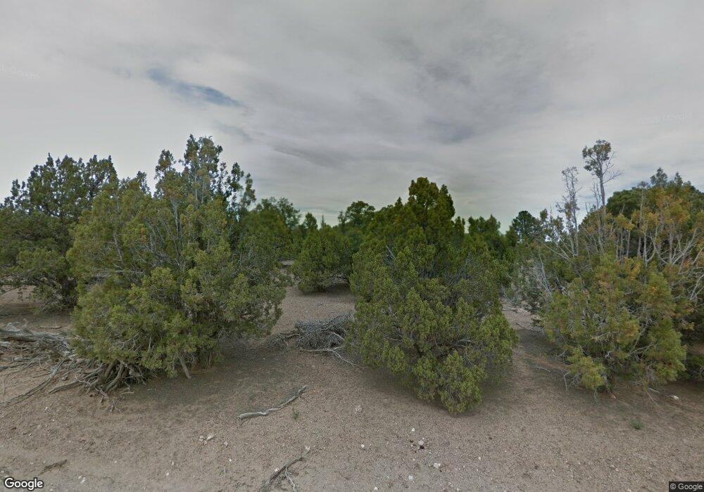
9170 W 2400 S Cedar City, UT 84720
Estimated Value: $405,875 - $612,000
--
Bed
--
Bath
1,120
Sq Ft
$433/Sq Ft
Est. Value
About This Home
This home is located at 9170 W 2400 S, Cedar City, UT 84720 and is currently estimated at $484,719, approximately $432 per square foot. 9170 W 2400 S is a home located in Iron County with nearby schools including Iron Springs School, Canyon View Middle School, and Canyon View High School.
Create a Home Valuation Report for This Property
The Home Valuation Report is an in-depth analysis detailing your home's value as well as a comparison with similar homes in the area
Home Values in the Area
Average Home Value in this Area
Tax History Compared to Growth
Tax History
| Year | Tax Paid | Tax Assessment Tax Assessment Total Assessment is a certain percentage of the fair market value that is determined by local assessors to be the total taxable value of land and additions on the property. | Land | Improvement |
|---|---|---|---|---|
| 2025 | $1,728 | $221,648 | $71,379 | $150,269 |
| 2023 | $1,627 | $191,510 | $67,980 | $123,530 |
| 2022 | $1,213 | $135,640 | $29,150 | $106,490 |
| 2021 | $882 | $98,600 | $22,250 | $76,350 |
| 2020 | $1,113 | $89,140 | $22,250 | $66,890 |
| 2019 | $1,065 | $80,420 | $22,250 | $58,170 |
| 2018 | $1,034 | $77,755 | $22,250 | $55,505 |
| 2017 | $993 | $74,685 | $22,250 | $52,435 |
| 2016 | $1,031 | $70,560 | $21,680 | $48,880 |
Source: Public Records
Map
Nearby Homes
- 9410 W 2200 S
- .66 Acres Off Hwy 56 & 9500 W
- 9035 W 1900 S
- 4367 W 1900 S
- 4206 W 1900 S
- 8592 W 2200 S
- 1 AF Water South Hwy 56
- 1/2 Acre Ft Water South Hwy 56
- 1 AF Water South of Hwy 56
- 1/2 ACRE Ft Water South of Hwy 56
- 8023 W 1800 S
- 13245 W 3000 S
- 7945 W 1800 S
- 7700 W 2400 S
- 7745 W 1800 S
- 0 50 63 Acres Hwy 56 Unit 112353
- 0 50 Acres Hwy 56 Unit 25-263327
- 2401 S 6700 W Unit (Address is approxim
- 2370 S 6700 W Unit (Address is Approxim
- 0 E-0228-0001-0033 Unit 25-265769
