9171 Briar Forest Dr Houston, TX 77024
Memorial NeighborhoodEstimated Value: $1,139,214 - $1,213,000
4
Beds
4
Baths
3,920
Sq Ft
$302/Sq Ft
Est. Value
About This Home
This home is located at 9171 Briar Forest Dr, Houston, TX 77024 and is currently estimated at $1,184,304, approximately $302 per square foot. 9171 Briar Forest Dr is a home located in Harris County with nearby schools including Memorial Drive Elementary School, Spring Branch Middle School, and Memorial High School.
Ownership History
Date
Name
Owned For
Owner Type
Purchase Details
Closed on
Jun 13, 2024
Sold by
Naples Stanley M
Bought by
Smee Phillip and Chen Haiyan
Current Estimated Value
Purchase Details
Closed on
Nov 9, 2005
Sold by
Robertson A Mitch and Robertson Phyllis L
Bought by
Naples Stanley and Naples Nadine
Home Financials for this Owner
Home Financials are based on the most recent Mortgage that was taken out on this home.
Original Mortgage
$352,000
Interest Rate
6.6%
Mortgage Type
Purchase Money Mortgage
Purchase Details
Closed on
Dec 15, 1997
Sold by
Benge Linda T
Bought by
Robertson A Mitch and Robertson Phyllis L
Home Financials for this Owner
Home Financials are based on the most recent Mortgage that was taken out on this home.
Original Mortgage
$300,000
Interest Rate
7.5%
Purchase Details
Closed on
Oct 8, 1993
Sold by
Manal Connie Meraj
Bought by
Benge Linda T
Create a Home Valuation Report for This Property
The Home Valuation Report is an in-depth analysis detailing your home's value as well as a comparison with similar homes in the area
Home Values in the Area
Average Home Value in this Area
Purchase History
| Date | Buyer | Sale Price | Title Company |
|---|---|---|---|
| Smee Phillip | -- | American Title Company | |
| Naples Stanley | -- | Startex Title Company | |
| Robertson A Mitch | -- | Stewart Title | |
| Benge Linda T | -- | -- |
Source: Public Records
Mortgage History
| Date | Status | Borrower | Loan Amount |
|---|---|---|---|
| Previous Owner | Naples Stanley | $352,000 | |
| Previous Owner | Robertson A Mitch | $300,000 |
Source: Public Records
Tax History Compared to Growth
Tax History
| Year | Tax Paid | Tax Assessment Tax Assessment Total Assessment is a certain percentage of the fair market value that is determined by local assessors to be the total taxable value of land and additions on the property. | Land | Improvement |
|---|---|---|---|---|
| 2025 | $5,691 | $1,066,669 | $185,218 | $881,451 |
| 2024 | $5,691 | $1,038,000 | $177,809 | $860,191 |
| 2023 | $5,691 | $938,607 | $177,809 | $760,798 |
| 2022 | $16,266 | $960,000 | $172,252 | $787,748 |
| 2021 | $15,442 | $791,903 | $168,548 | $623,355 |
| 2020 | $14,407 | $575,000 | $164,844 | $410,156 |
| 2019 | $20,028 | $765,000 | $172,252 | $592,748 |
| 2018 | $4,977 | $708,480 | $185,218 | $523,262 |
| 2017 | $21,631 | $826,844 | $185,218 | $641,626 |
| 2016 | $21,078 | $826,844 | $185,218 | $641,626 |
| 2015 | $9,390 | $826,844 | $185,218 | $641,626 |
| 2014 | $9,390 | $682,837 | $185,218 | $497,619 |
Source: Public Records
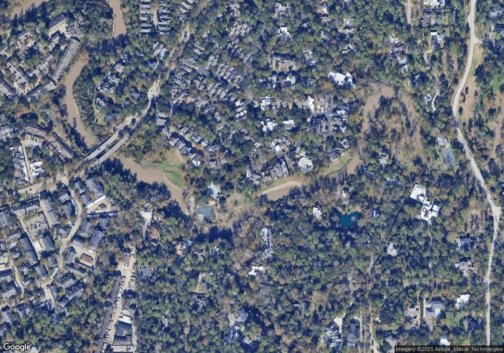
Map
Nearby Homes
- 9171 Briar Forest Dr
- 9109 Briar Forest Dr
- 2003 Arrowwood Cir N
- 22 Sugarberry Cir
- 14 1/2 W Shady Ln
- 251 Sugarberry Cir
- 148 Sugarberry Cir
- 9400 Doliver Dr Unit 70
- 9400 Doliver Dr Unit 12
- 9400 Doliver Dr Unit 36
- 9400 Doliver Dr Unit 56
- 2238 S Piney Point Rd Unit 209
- 2238 S Piney Point Rd Unit 204
- 2230 S Piney Point Rd Unit 113
- 2230 S Piney Point Rd Unit 219
- 2236 S Piney Point Rd Unit 101
- 22 E Shady Ln Unit E
- 8508 Morning Melody Dr
- 3011 Valley Peak Dr
- 3005 Manor Heights Ln
- 9171 Briar Forest Dr
- 9173 Briar Forest Dr
- 9169 Briar Forest Dr
- 9167 Briar Forest Dr
- 9165 Briar Forest Dr
- 9051 Briar Forest Dr
- 9049 Briar Forest Dr
- 9163 Briar Forest Dr
- 1 Hudson Cir
- 9047 Briar Forest Dr
- 9053 Briar Forest Dr
- 7 Hudson Cir
- 9161 Briar Forest Dr
- 9055 Briar Forest Dr
- 9045 Briar Forest Dr
- 9159 Briar Forest Dr
- 11 Hudson Cir
- 11 Hutchins St
- 9043 Briar Forest Dr
- 9057 Briar Forest Dr