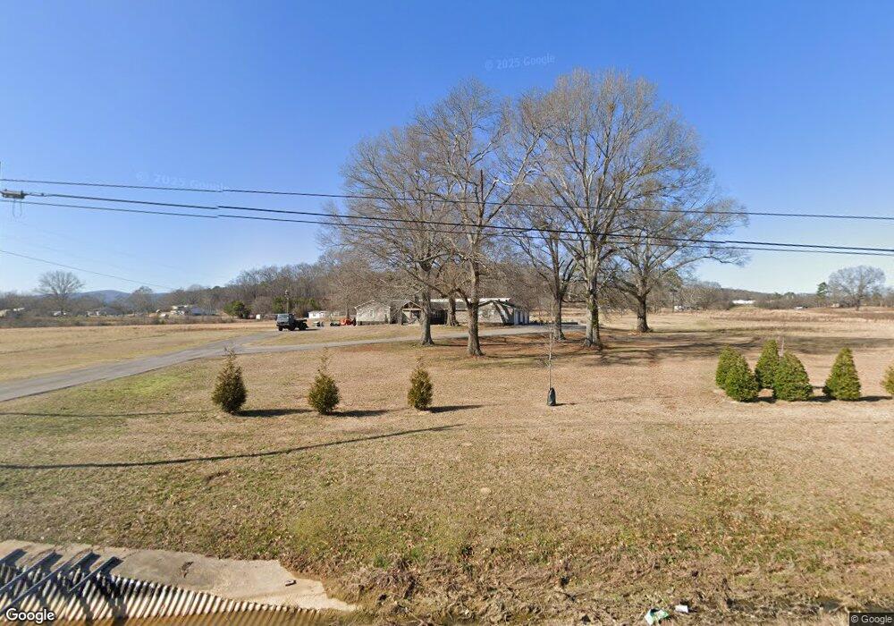
9171 Us Highway 78 E Anniston, AL 36207
Estimated Value: $324,000 - $559,106
--
Bed
1
Bath
3,196
Sq Ft
$148/Sq Ft
Est. Value
About This Home
This home is located at 9171 Us Highway 78 E, Anniston, AL 36207 and is currently estimated at $472,702, approximately $147 per square foot. 9171 Us Highway 78 E is a home located in Calhoun County with nearby schools including White Plains Elementary School, White Plains Middle School, and White Plains High School.
Ownership History
Date
Name
Owned For
Owner Type
Purchase Details
Closed on
Dec 22, 2021
Sold by
Howell Stephen G and Howell Deann M
Bought by
Saga Properties Llc
Current Estimated Value
Purchase Details
Closed on
Oct 15, 2020
Sold by
Mountain View Estates Inc
Bought by
Howell Stephen G and Howell Deann M
Purchase Details
Closed on
Jul 13, 2018
Bought by
Howell Stephen G and Howell Deann M
Home Financials for this Owner
Home Financials are based on the most recent Mortgage that was taken out on this home.
Original Mortgage
$315,000
Interest Rate
4.53%
Create a Home Valuation Report for This Property
The Home Valuation Report is an in-depth analysis detailing your home's value as well as a comparison with similar homes in the area
Home Values in the Area
Average Home Value in this Area
Purchase History
| Date | Buyer | Sale Price | Title Company |
|---|---|---|---|
| Saga Properties Llc | -- | None Available | |
| Howell Stephen G | $55,000 | None Available | |
| Howell Stephen G | -- | -- |
Source: Public Records
Mortgage History
| Date | Status | Borrower | Loan Amount |
|---|---|---|---|
| Previous Owner | Howell Stephen G | $315,000 | |
| Previous Owner | Howell Stephen G | -- |
Source: Public Records
Tax History Compared to Growth
Tax History
| Year | Tax Paid | Tax Assessment Tax Assessment Total Assessment is a certain percentage of the fair market value that is determined by local assessors to be the total taxable value of land and additions on the property. | Land | Improvement |
|---|---|---|---|---|
| 2024 | $1,799 | $51,104 | $8,720 | $42,384 |
| 2023 | $1,994 | $50,730 | $8,720 | $42,010 |
| 2022 | $1,799 | $46,230 | $8,720 | $37,510 |
| 2021 | $1,570 | $40,512 | $9,080 | $31,432 |
| 2020 | $1,698 | $43,710 | $9,080 | $34,630 |
| 2019 | $2,067 | $51,348 | $19,406 | $31,942 |
| 2018 | $2,003 | $51,340 | $0 | $0 |
| 2017 | $1,655 | $41,380 | $0 | $0 |
| 2016 | $1,604 | $41,380 | $0 | $0 |
| 2013 | -- | $41,400 | $0 | $0 |
Source: Public Records
Map
Nearby Homes
- 294 Raptor Way
- 257 Hawk Pass
- 520 Highland Lakes Blvd Unit 7
- 1250 Old Downing Mill Rd
- 0 Highway 78 Unit 22568531
- 39 Carnoustie Place
- 115 Carnoustie Place
- 2318 Al Highway 9
- 390 Jamestown Way Unit 9
- 65 Casey Ct
- 4803 Laurel Trace
- 136 Dewey Ln Unit 4
- 2114 Us Highway 78 E Unit .5 ac.
- 4809 Laurel Trace Unit 7
- 121 Eastwood Dr
- 1129 Earl Roberts Rd
- 64 Avalon Ln
- 43 Faulkner Dr
- 833 Lillian Ln
- 6922 Choccolloco Rd
- 2840 Old Downing Mill Rd
- 9130 Us Highway 78 E
- 2811 Old Downing Mill Rd
- 2778 Old Downing Mill Rd
- 8969 Us Highway 78 E
- 2267 Old Downing Mill Rd
- 2755 Old Downing Mill Rd
- 3045 Old Downing Mill Rd
- 3171 Old Downing Mill Rd
- 3305 Old Downing Mill Rd
- 3361 Old Downing Mill Rd
- 2461 Old Downing Mill Rd
- 264 Talley ho Rd
- 2405 Old Downing Mill Rd
- 3646 Old Downing Mill Rd
- 3441 Old Downing Mill Rd
- 2268 Old Downing Mill Rd
- 456 Tally Ho Rd
- 283 Raptor Way
- 283 Raptor Way Unit A22
