9175 W Sherwood Dr Kunkletown, PA 18058
Estimated Value: $270,000 - $281,000
2
Beds
1
Bath
1,200
Sq Ft
$229/Sq Ft
Est. Value
About This Home
This home is located at 9175 W Sherwood Dr, Kunkletown, PA 18058 and is currently estimated at $275,029, approximately $229 per square foot. 9175 W Sherwood Dr is a home located in Monroe County with nearby schools including Pleasant Valley Elementary School, Pleasant Valley Intermediate School, and Pleasant Valley Middle School.
Ownership History
Date
Name
Owned For
Owner Type
Purchase Details
Closed on
Oct 9, 2025
Sold by
Schoch Cathrine J
Bought by
Barlotta Taylor Rae
Current Estimated Value
Purchase Details
Closed on
Jan 2, 2013
Sold by
Czerwinski Jerzy
Bought by
Schoch Cathrine J
Home Financials for this Owner
Home Financials are based on the most recent Mortgage that was taken out on this home.
Original Mortgage
$134,513
Interest Rate
3.25%
Mortgage Type
FHA
Purchase Details
Closed on
Dec 9, 2011
Sold by
Wilmington Trust Company
Bought by
Czerwinski Jerzy
Purchase Details
Closed on
May 28, 2010
Sold by
Kershner Kevin and Kershner Kevin Allan
Bought by
Jpmorgan Chase Bank National Association
Create a Home Valuation Report for This Property
The Home Valuation Report is an in-depth analysis detailing your home's value as well as a comparison with similar homes in the area
Home Values in the Area
Average Home Value in this Area
Purchase History
| Date | Buyer | Sale Price | Title Company |
|---|---|---|---|
| Barlotta Taylor Rae | $274,900 | Carbon Search & Settlement | |
| Schoch Cathrine J | $137,000 | None Available | |
| Czerwinski Jerzy | $28,199 | None Available | |
| Jpmorgan Chase Bank National Association | $3,467 | None Available |
Source: Public Records
Mortgage History
| Date | Status | Borrower | Loan Amount |
|---|---|---|---|
| Previous Owner | Schoch Cathrine J | $134,513 |
Source: Public Records
Tax History Compared to Growth
Tax History
| Year | Tax Paid | Tax Assessment Tax Assessment Total Assessment is a certain percentage of the fair market value that is determined by local assessors to be the total taxable value of land and additions on the property. | Land | Improvement |
|---|---|---|---|---|
| 2025 | $921 | $142,470 | $24,880 | $117,590 |
| 2024 | $655 | $142,470 | $24,880 | $117,590 |
| 2023 | $4,058 | $142,470 | $24,880 | $117,590 |
| 2022 | $3,941 | $142,470 | $24,880 | $117,590 |
| 2021 | $3,851 | $142,470 | $24,880 | $117,590 |
| 2020 | $3,429 | $142,470 | $24,880 | $117,590 |
| 2019 | $3,054 | $17,720 | $3,130 | $14,590 |
| 2018 | $3,019 | $17,420 | $3,130 | $14,290 |
| 2017 | $3,019 | $17,420 | $3,130 | $14,290 |
| 2016 | $445 | $17,420 | $3,130 | $14,290 |
| 2015 | -- | $17,420 | $3,130 | $14,290 |
| 2014 | -- | $17,420 | $3,130 | $14,290 |
Source: Public Records
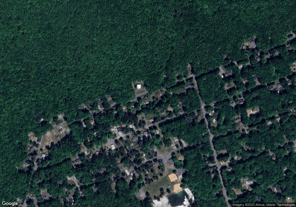
Map
Nearby Homes
- 9064 Robinhood Dr
- 9081 Sherwood Dr
- 8743 Sherwood Dr
- 9153 Robinhood Dr
- 0 Poplar Ln 33 Ln
- 0 Poplar Ln 29 Ln
- 134 Poplar Ln
- 1619 Sugar Ln
- 8749 W Kings Way
- 2121 Sassafras Ln
- 2125 Sassafras Ln
- 131 Stone Ridge Rd
- 125 Stone Ridge Rd
- 4167 Forest Dr
- 4193 Forest Dr
- 18 Ute Trail
- 0 Mv2514 Pawnee Trail
- 2546 Pawnee Trail
- 2490 Pawnee Trail
- 0 Ute Trail
- 9174 W Sherwood Dr
- 9335 Sherwood Dr
- 9329 Sherwood Dr
- 9333 Sherwood Dr
- 9104 Robinhood Dr
- 0 Robin Hood Dr #C51
- 9346 Sherwood Dr
- 9322 Sherwood Dr
- 0 Robinhood Dr C
- 9325 Sherwood Dr
- 9105 Robinhood Dr
- 9084 Robinhood Dr
- 9117 W Sherwood Dr
- 9323 Sherwood Dr
- 4423 Sherwood Dr
- 9072 Robinhood Dr
- 9081 Robinhood Dr
- C51 Robinhood Dr
- 9308 Sherwood Dr
- 9075 Robinhood Dr