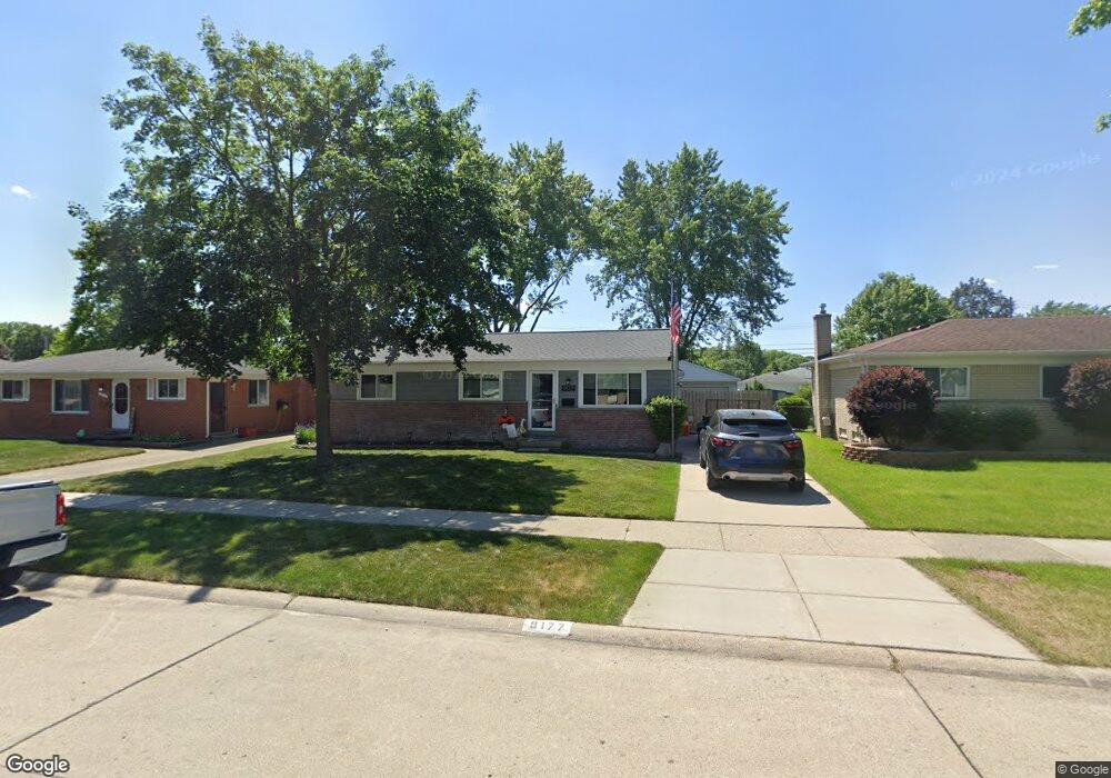
9177 Pere Ave Unit Bldg-Unit Livonia, MI 48150
Estimated Value: $322,000 - $338,722
3
Beds
2
Baths
1,305
Sq Ft
$254/Sq Ft
Est. Value
About This Home
This home is located at 9177 Pere Ave Unit Bldg-Unit, Livonia, MI 48150 and is currently estimated at $331,181, approximately $253 per square foot. 9177 Pere Ave Unit Bldg-Unit is a home located in Wayne County with nearby schools including Johnson Upper Elementary School, Randolph Elementary School, and Frost Middle School.
Ownership History
Date
Name
Owned For
Owner Type
Purchase Details
Closed on
Nov 29, 2021
Sold by
Patrick Carpenter Ryan
Bought by
Carpenter Ryan Patrick and Carpenter Katherine Ann
Current Estimated Value
Home Financials for this Owner
Home Financials are based on the most recent Mortgage that was taken out on this home.
Original Mortgage
$198,000
Outstanding Balance
$182,059
Interest Rate
3.09%
Mortgage Type
New Conventional
Estimated Equity
$149,122
Purchase Details
Closed on
Jan 30, 2018
Sold by
Giles Steven J and Giles Steven John
Bought by
Carpenter Ryan Patrick
Purchase Details
Closed on
Jul 18, 2017
Sold by
Giles Steven John and Giles Joan C
Bought by
Giles Steven John
Create a Home Valuation Report for This Property
The Home Valuation Report is an in-depth analysis detailing your home's value as well as a comparison with similar homes in the area
Home Values in the Area
Average Home Value in this Area
Purchase History
| Date | Buyer | Sale Price | Title Company |
|---|---|---|---|
| Carpenter Ryan Patrick | -- | None Listed On Document | |
| Carpenter Ryan Patrick | $178,350 | None Available | |
| Giles Steven John | -- | None Available |
Source: Public Records
Mortgage History
| Date | Status | Borrower | Loan Amount |
|---|---|---|---|
| Open | Carpenter Ryan Patrick | $198,000 |
Source: Public Records
Tax History Compared to Growth
Tax History
| Year | Tax Paid | Tax Assessment Tax Assessment Total Assessment is a certain percentage of the fair market value that is determined by local assessors to be the total taxable value of land and additions on the property. | Land | Improvement |
|---|---|---|---|---|
| 2025 | $2,560 | $144,900 | $0 | $0 |
| 2024 | $2,560 | $135,700 | $0 | $0 |
| 2023 | $2,442 | $124,300 | $0 | $0 |
| 2022 | $4,361 | $113,500 | $0 | $0 |
| 2021 | $4,243 | $109,300 | $0 | $0 |
| 2019 | $3,885 | $93,600 | $0 | $0 |
| 2018 | $1,399 | $80,900 | $0 | $0 |
| 2017 | $2,641 | $79,400 | $0 | $0 |
| 2016 | $2,685 | $75,100 | $0 | $0 |
| 2015 | $6,174 | $69,960 | $0 | $0 |
| 2012 | -- | $60,480 | $15,750 | $44,730 |
Source: Public Records
Map
Nearby Homes
- 9130 E Bassett Ct
- 38876 Northfield Ave
- 39122 Dover St
- 9365 Tavistock Dr
- 38831 Orangelawn St
- 8894 Knolson Ave
- 9215 Westbury Ave
- The Chelsea Plan at Walton Oaks
- The Superior Plan at Walton Oaks
- The St. Clair Plan at Walton Oaks
- 38671 Belliveau St
- 40526 Newport Dr Unit 99
- 11348 Cedar Ln
- 40584 Newport Ct
- 40504 Newport Dr
- 37739 Northfield Ave
- 8364 Holly Dr
- 40419 Orangelawn Ave
- 40643 Newport Dr Unit 273
- 40699 Newport Dr Unit 256