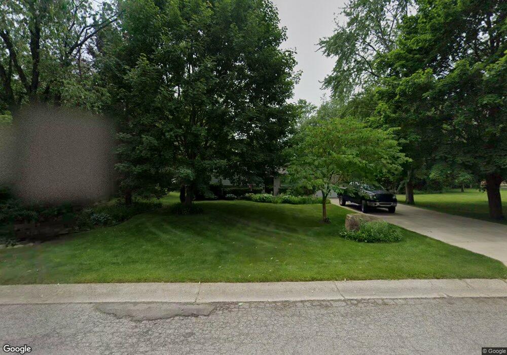
9179 Satelite Dr White Lake, MI 48386
Estimated Value: $259,032 - $365,000
3
Beds
2
Baths
1,365
Sq Ft
$223/Sq Ft
Est. Value
About This Home
This home is located at 9179 Satelite Dr, White Lake, MI 48386 and is currently estimated at $304,008, approximately $222 per square foot. 9179 Satelite Dr is a home located in Oakland County with nearby schools including Clifford H. Smart Middle School, Walled Lake Northern High School, and St. Patrick School.
Ownership History
Date
Name
Owned For
Owner Type
Purchase Details
Closed on
Jan 29, 2004
Sold by
Denoon Kevin A and Denoon Kevin
Bought by
Lynch Patrick M and Lynch Patrick
Current Estimated Value
Home Financials for this Owner
Home Financials are based on the most recent Mortgage that was taken out on this home.
Original Mortgage
$126,400
Outstanding Balance
$58,233
Interest Rate
5.91%
Mortgage Type
Purchase Money Mortgage
Estimated Equity
$245,775
Purchase Details
Closed on
Oct 2, 2000
Sold by
Nishek Edward A
Bought by
Denoon Kevin A
Home Financials for this Owner
Home Financials are based on the most recent Mortgage that was taken out on this home.
Original Mortgage
$138,700
Interest Rate
7.87%
Create a Home Valuation Report for This Property
The Home Valuation Report is an in-depth analysis detailing your home's value as well as a comparison with similar homes in the area
Home Values in the Area
Average Home Value in this Area
Purchase History
| Date | Buyer | Sale Price | Title Company |
|---|---|---|---|
| Lynch Patrick M | $158,000 | -- | |
| Denoon Kevin A | $143,000 | -- |
Source: Public Records
Mortgage History
| Date | Status | Borrower | Loan Amount |
|---|---|---|---|
| Open | Lynch Patrick M | $126,400 | |
| Previous Owner | Denoon Kevin A | $138,700 |
Source: Public Records
Tax History
| Year | Tax Paid | Tax Assessment Tax Assessment Total Assessment is a certain percentage of the fair market value that is determined by local assessors to be the total taxable value of land and additions on the property. | Land | Improvement |
|---|---|---|---|---|
| 2025 | $2,009 | $115,450 | $0 | $0 |
| 2024 | $1,100 | $106,110 | $0 | $0 |
| 2023 | $1,037 | $96,910 | $0 | $0 |
| 2022 | $1,807 | $87,500 | $0 | $0 |
| 2021 | $1,762 | $82,310 | $0 | $0 |
| 2020 | $1,025 | $80,400 | $0 | $0 |
| 2019 | $1,715 | $77,380 | $0 | $0 |
| 2018 | $1,702 | $70,410 | $0 | $0 |
| 2017 | $1,648 | $70,410 | $0 | $0 |
| 2016 | $1,645 | $68,540 | $0 | $0 |
| 2015 | -- | $56,970 | $0 | $0 |
| 2014 | -- | $51,250 | $0 | $0 |
| 2011 | -- | $44,940 | $0 | $0 |
Source: Public Records
Map
Nearby Homes
- 9008 Sussex St
- 8962 Glasgow Dr
- 8789 El Dorado Dr
- 7 Grandview Cir Unit 69
- 636 Lakeview Dr
- 71 Grandview Cir
- 0000 Union Lake Rd
- 275 Melinda Cir
- 000 Lakeview Dr
- 0000 Lakeview Dr
- 165 Lisa Ct
- 9198 Ashdown Ave
- 9063 Ashdown Ave
- 785 Akehurst Ln
- 000 Sandycrest Dr
- 891 Preserve Ln
- 121 Allen Lake Dr
- 00 Coledale Dr
- 900 Preserve Ln
- 9035 Huron Bluffs Dr
- 9167 Satelite Dr
- 419 Union Lake Rd
- 9155 Satelite Dr
- 9143 Satelite Dr
- 9156 Satelite Dr
- 9131 Satelite Dr
- 9144 Satelite Dr
- 9119 Satelite Dr
- 9132 Satelite Dr
- 9163 Glasgow Dr
- 9164 Glasgow Dr
- 9107 Satelite Dr
- 9117 Sussex St
- 9120 Satelite Dr
- 9155 Glasgow Dr
- 455 Union Lake Rd
- 390 Union Lake Rd
- 9156 Glasgow Dr
- 9101 Sussex St
- 360 Union Lake Rd