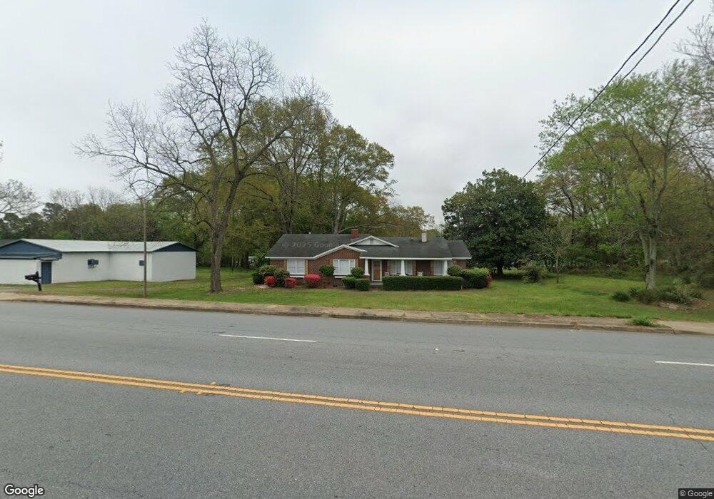
918 Anderson St Belton, SC 29627
Estimated Value: $139,894 - $269,000
3
Beds
--
Bath
1,727
Sq Ft
$130/Sq Ft
Est. Value
About This Home
This home is located at 918 Anderson St, Belton, SC 29627 and is currently estimated at $224,724, approximately $130 per square foot. 918 Anderson St is a home located in Anderson County with nearby schools including Belton Honea Path High School and Trinity Christian Education School.
Ownership History
Date
Name
Owned For
Owner Type
Purchase Details
Closed on
Feb 27, 2025
Sold by
Stephens Doris Elaine
Bought by
Stephens Jarrai and Duncan Marlayna
Current Estimated Value
Purchase Details
Closed on
Feb 19, 2025
Sold by
Curry Cheryl Lynn
Bought by
Stephens Jarrai and Duncan Marlayna
Purchase Details
Closed on
Aug 1, 2024
Sold by
Dewberry Jacqueline Louise
Bought by
Stephens Jarrai and Duncan Marlayna
Purchase Details
Closed on
Jul 11, 2012
Sold by
Estate Of Hattie S Ligon and Stephens Doris Elaine
Bought by
Ligon Calvin E and Stephens Doris Elaine
Create a Home Valuation Report for This Property
The Home Valuation Report is an in-depth analysis detailing your home's value as well as a comparison with similar homes in the area
Home Values in the Area
Average Home Value in this Area
Purchase History
| Date | Buyer | Sale Price | Title Company |
|---|---|---|---|
| Stephens Jarrai | -- | None Listed On Document | |
| Stephens Jarrai | -- | None Listed On Document | |
| Stephens Jarrai | -- | None Listed On Document | |
| Stephens Jarrai | -- | None Listed On Document | |
| Stephens Jarrai | -- | None Listed On Document | |
| Stephens Jarrai | -- | None Listed On Document | |
| Ligon Calvin E | -- | -- |
Source: Public Records
Tax History Compared to Growth
Tax History
| Year | Tax Paid | Tax Assessment Tax Assessment Total Assessment is a certain percentage of the fair market value that is determined by local assessors to be the total taxable value of land and additions on the property. | Land | Improvement |
|---|---|---|---|---|
| 2024 | $484 | $3,190 | $200 | $2,990 |
| 2023 | $484 | $3,190 | $200 | $2,990 |
| 2022 | $456 | $3,190 | $200 | $2,990 |
| 2021 | $461 | $3,120 | $210 | $2,910 |
| 2020 | $455 | $3,120 | $210 | $2,910 |
| 2019 | $455 | $3,120 | $210 | $2,910 |
| 2018 | $464 | $3,120 | $210 | $2,910 |
| 2017 | -- | $3,120 | $210 | $2,910 |
| 2016 | $449 | $3,040 | $200 | $2,840 |
| 2015 | $480 | $3,040 | $200 | $2,840 |
| 2014 | $482 | $3,040 | $200 | $2,840 |
Source: Public Records
Map
Nearby Homes
- 1207 Anderson St
- 00 Murdock Rd
- Lot B Sam Dr
- 0 Sam Dr
- 0 Sam Dr
- Lot C Sam Dr
- 502 Forest Ln
- 522 Forest Ln
- 305 Forest Ln
- 302 Forest Ln
- 167 Murdock Rd
- 304 Palmetto Pkwy
- 109 Brookside Cir
- 400 Woodland Cir
- 402 Woodland Cir
- 398 Woodland Cir
- 103 Haynie Pkwy
- 405 Blue Ridge Ave
- 316 Harris Ave
- 0 Rock Springs Rd
- 202 E Union Dr
- 910 Anderson St
- 910 Anderson St Unit 910 Belton Anderson
- 101 E Union Dr
- 101 E Union Dr
- 906 Anderson St
- 205 E Union Dr
- 205 E Union Dr Unit A
- 205 E Union Dr Unit A
- 210 E Union Dr
- 1102 Anderson St
- 201 E Union Dr
- 209 E Union Dr
- 207 E Union Dr
- 103 Union High Dr
- 904 Anderson St
- 209 E Union Dr
- 105 Union High Dr
- 1104 Anderson St
- 203 E Union Dr