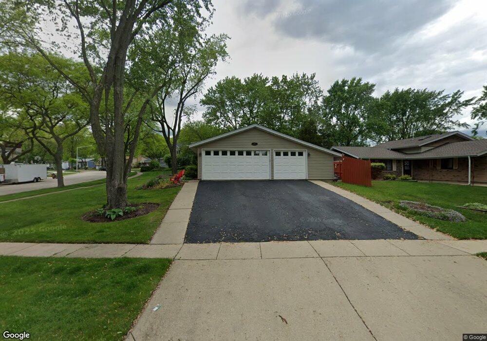
918 Carlton Ln Schaumburg, IL 60193
South Schaumburg NeighborhoodEstimated Value: $387,000 - $418,000
3
Beds
2
Baths
1,075
Sq Ft
$379/Sq Ft
Est. Value
About This Home
This home is located at 918 Carlton Ln, Schaumburg, IL 60193 and is currently estimated at $407,726, approximately $379 per square foot. 918 Carlton Ln is a home located in Cook County with nearby schools including Thomas Dooley Elementary School, Jane Addams Junior High School, and Schaumburg High School.
Ownership History
Date
Name
Owned For
Owner Type
Purchase Details
Closed on
May 25, 2001
Sold by
Weseen Michael D and Weseen Robin
Bought by
Kic Michael E and Kic Gwendolen E
Current Estimated Value
Home Financials for this Owner
Home Financials are based on the most recent Mortgage that was taken out on this home.
Original Mortgage
$195,500
Outstanding Balance
$74,080
Interest Rate
7.23%
Estimated Equity
$333,646
Create a Home Valuation Report for This Property
The Home Valuation Report is an in-depth analysis detailing your home's value as well as a comparison with similar homes in the area
Home Values in the Area
Average Home Value in this Area
Purchase History
| Date | Buyer | Sale Price | Title Company |
|---|---|---|---|
| Kic Michael E | $230,000 | -- |
Source: Public Records
Mortgage History
| Date | Status | Borrower | Loan Amount |
|---|---|---|---|
| Open | Kic Michael E | $195,500 |
Source: Public Records
Tax History Compared to Growth
Tax History
| Year | Tax Paid | Tax Assessment Tax Assessment Total Assessment is a certain percentage of the fair market value that is determined by local assessors to be the total taxable value of land and additions on the property. | Land | Improvement |
|---|---|---|---|---|
| 2024 | $7,175 | $28,931 | $6,087 | $22,844 |
| 2023 | $6,929 | $28,931 | $6,087 | $22,844 |
| 2022 | $6,929 | $28,931 | $6,087 | $22,844 |
| 2021 | $5,988 | $23,088 | $4,130 | $18,958 |
| 2020 | $5,953 | $23,088 | $4,130 | $18,958 |
| 2019 | $6,034 | $25,942 | $4,130 | $21,812 |
| 2018 | $6,319 | $24,491 | $3,695 | $20,796 |
| 2017 | $6,237 | $24,491 | $3,695 | $20,796 |
| 2016 | $6,075 | $24,491 | $3,695 | $20,796 |
| 2015 | $7,617 | $28,084 | $3,260 | $24,824 |
| 2014 | $7,550 | $28,084 | $3,260 | $24,824 |
| 2013 | $7,339 | $28,084 | $3,260 | $24,824 |
Source: Public Records
Map
Nearby Homes
- 908 Jeffery Ct
- 305 Williams Dr
- 220 Kemah Ln
- 1125 Charlene Ln
- 12 Stone Bridge Ct
- 1321 Yarmouth Ct Unit 662
- 104 N Braintree Dr
- 11 Stone Bridge Ct
- 225 Barcliffe Ln Unit 1011
- 507 Ash Ct
- 412 Redwood Ln
- 32 Hilltop Dr
- 1123 Stoughton Ct Unit 1664
- 100 Ellington Dr
- 516 W Weathersfield Way
- 226 Timbercrest Dr
- 585 Newark Ln
- 365 Washington Blvd
- 1314 Colwyn Dr
- 818 Brentwood Ct
- 118 Jeffery Ln
- 121 Carlton Ct
- 921 Carlton Ln
- 119 Carlton Ct
- 116 Jeffery Ln
- 126 Williams Dr
- 131 Jeffery Ln
- 125 Williams Dr
- 929 Carlton Ln
- 200 Jeffery Ln
- 135 Jeffery Ln
- 110 Jeffery Ln
- 115 Jeffery Ln
- 128 Williams Dr
- 932 Carlton Ln
- 201 Jeffery Ln
- 933 Carlton Ln
- 104 Grand Central Ln
- 204 Jeffery Ln
- 127 Williams Dr