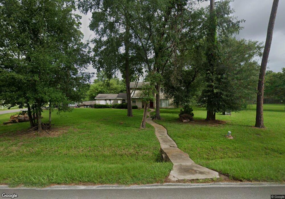
918 Coe Rd Pinehurst, TX 77362
Pinehurst NeighborhoodEstimated Value: $388,777 - $457,000
4
Beds
3
Baths
2,556
Sq Ft
$166/Sq Ft
Est. Value
About This Home
This home is located at 918 Coe Rd, Pinehurst, TX 77362 and is currently estimated at $425,194, approximately $166 per square foot. 918 Coe Rd is a home located in Montgomery County with nearby schools including Decker Prairie Elementary School, Tomball Intermediate School, and Tomball Junior High School.
Ownership History
Date
Name
Owned For
Owner Type
Purchase Details
Closed on
May 31, 2007
Sold by
Livingston Mary Ann
Bought by
Mcgarrah Joel W and Mcgarrah Shina K
Current Estimated Value
Home Financials for this Owner
Home Financials are based on the most recent Mortgage that was taken out on this home.
Original Mortgage
$165,206
Outstanding Balance
$97,950
Interest Rate
6.16%
Mortgage Type
Purchase Money Mortgage
Estimated Equity
$327,244
Create a Home Valuation Report for This Property
The Home Valuation Report is an in-depth analysis detailing your home's value as well as a comparison with similar homes in the area
Home Values in the Area
Average Home Value in this Area
Purchase History
| Date | Buyer | Sale Price | Title Company |
|---|---|---|---|
| Mcgarrah Joel W | -- | First American Title |
Source: Public Records
Mortgage History
| Date | Status | Borrower | Loan Amount |
|---|---|---|---|
| Open | Mcgarrah Joel W | $165,206 |
Source: Public Records
Tax History
| Year | Tax Paid | Tax Assessment Tax Assessment Total Assessment is a certain percentage of the fair market value that is determined by local assessors to be the total taxable value of land and additions on the property. | Land | Improvement |
|---|---|---|---|---|
| 2025 | $3,593 | $305,096 | $67,081 | $238,015 |
| 2024 | $3,593 | $292,413 | -- | -- |
| 2023 | $3,155 | $265,830 | $67,080 | $218,750 |
| 2022 | $4,464 | $241,660 | $67,670 | $203,600 |
| 2021 | $4,221 | $219,690 | $46,350 | $173,340 |
| 2020 | $4,353 | $217,180 | $46,350 | $170,830 |
| 2019 | $4,128 | $209,070 | $46,350 | $171,890 |
| 2018 | $3,976 | $191,650 | $14,530 | $177,120 |
| 2017 | $3,596 | $172,780 | $14,530 | $158,250 |
| 2016 | $3,596 | $172,780 | $14,530 | $158,250 |
| 2015 | $3,167 | $158,570 | $14,530 | $144,040 |
| 2014 | $3,167 | $149,710 | $14,530 | $135,180 |
Source: Public Records
Map
Nearby Homes
- 1211 Mere Dr
- 2008 Green Terrace Ln
- 622 Platinum Stone Ln
- 1301 Knollbridge Point Ln
- 506 Blossom Cove Ct
- 1004 Ivy Meadow Ln
- 1026 Pleasant Pines Ln
- 1025 Goodson Loop
- 35425 Woodtrace Cir
- 48 W Rollingwood St
- 414 Mill Creek Rd
- 34427 Spring Creek Cir
- 734 Platinum Stone Ln
- 330 Mill Creek Rd
- 1021 Lakemont Bend Ln
- 1067 Lakemont Bend Ln
- 1014 Lakemont Bend Ln
- 2007 Diane St
- 14419 Timbergreen Dr
- 1801 Coe Rd
- 914 Coe Rd
- 34514 Michelle Dr
- 34503 Michelle Dr
- 34507 Michelle Dr
- 906 Coe Rd
- 915 Kip Ln
- 1007 Ginger Glade Ln
- 1015 Ginger Glade Ln
- 911 Kip Ln
- 1019 Ginger Glade Ln
- 1023 Ginger Glade Ln
- 1011 Ginger Glade Ln
- 1003 Ginger Glade Ln
- 1031 Ginger Glade Ln
- 902 Coe Rd
- 34519 Michelle Dr
- 1027 Ginger Glade Ln
- 1035 Ginger Glade Ln
- 507 Pearl View Ln
- 506 Pearl View Ln
Your Personal Tour Guide
Ask me questions while you tour the home.