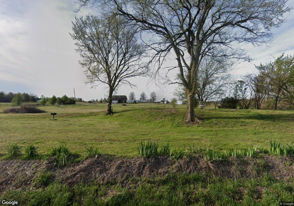
918 E 171st St S Glenpool, OK 74033
Estimated Value: $65,000 - $410,745
Studio
--
Bath
3,188
Sq Ft
$75/Sq Ft
Est. Value
About This Home
This home is located at 918 E 171st St S, Glenpool, OK 74033 and is currently estimated at $240,686, approximately $75 per square foot. 918 E 171st St S is a home located in Tulsa County with nearby schools including Glenpool Elementary School, Glenpool Middle School, and Glenpool High School.
Ownership History
Date
Name
Owned For
Owner Type
Purchase Details
Closed on
Apr 11, 2016
Sold by
David Gibson Inc
Bought by
Wallace Michael T and Seago Michelle A
Current Estimated Value
Home Financials for this Owner
Home Financials are based on the most recent Mortgage that was taken out on this home.
Original Mortgage
$188,500
Outstanding Balance
$148,638
Interest Rate
3.62%
Mortgage Type
New Conventional
Estimated Equity
$92,048
Purchase Details
Closed on
Jun 1, 1994
Purchase Details
Closed on
Aug 1, 1991
Purchase Details
Closed on
Apr 1, 1991
Create a Home Valuation Report for This Property
The Home Valuation Report is an in-depth analysis detailing your home's value as well as a comparison with similar homes in the area
Purchase History
We collect this data history from publicly available records. To have your information removed, we recommend requesting removal directly through your county’s website.
| Date | Buyer | Sale Price | Title Company |
|---|---|---|---|
| Wallace Michael T | $280,500 | Charter Title & Escrow Llc | |
| -- | $22,000 | -- | |
| -- | $18,000 | -- | |
| -- | $18,000 | -- |
Source: Public Records
Mortgage History
We collect this data history from publicly available records. To have your information removed, we recommend requesting removal directly through your county’s website.
| Date | Status | Borrower | Loan Amount |
|---|---|---|---|
| Open | Wallace Michael T | $188,500 |
Source: Public Records
Tax History
| Year | Tax Paid | Tax Assessment Tax Assessment Total Assessment is a certain percentage of the fair market value that is determined by local assessors to be the total taxable value of land and additions on the property. | Land | Improvement |
|---|---|---|---|---|
| 2025 | $3,869 | $30,855 | $2,156 | $28,699 |
| 2024 | $3,778 | $30,855 | $2,156 | $28,699 |
| 2023 | $3,778 | $32,274 | $2,156 | $30,118 |
| 2022 | $3,720 | $30,855 | $2,156 | $28,699 |
| 2021 | $3,788 | $30,855 | $2,156 | $28,699 |
| 2020 | $3,816 | $1,514 | $0 | $0 |
| 2019 | $3,843 | $1,514 | $0 | $0 |
| 2017 | $3,743 | $30,855 | $2,156 | $28,699 |
| 2016 | $429 | $2,156 | $2,156 | $0 |
Source: Public Records
Map
Nearby Homes
- 207 W 172nd St S
- 16713 S 1st East Ave
- 16501 S 4th East Ave
- 16505 S 4th East Ave
- 16509 S 4th East Ave
- 15 W 166th Place S
- 25 W 166th Place S
- 88 E 165th Place S
- 95 E 165th Place S
- 16516 S 1st East Ct
- 201 E 165th Place S
- 16924 S 31st East Ave
- 103 E 165th Place S
- 84 E 165th Place S
- 101 E 165th St S
- 220 E 165th St
- 112 E 165th St
- 16412 S 1st East Ct
- 303 W 165th Place S
- 100 E 164th Place S
- 505 E 171st St S
- 799 E 171st St S
- 833 E 171st St S
- 617 E 171st St S
- 617 E 171st St S
- 515 E 171st St S
- 217 E 171st St S
- 0 S 171st St Unit 1405308
- 0 S 171st St Unit 2401462
- 209 E 171st St S
- 209 E 171st St S
- 200 E 171st St S
- 200 E 171st St S
- 11 W 172nd St S
- 11 W 172nd St S
- 767 E 171st St S
- 527 E 171st St S
- 18 W 172nd St S
- 408 E 171st St S
- 408 E 171st St S
Your Personal Tour Guide
Ask me questions while you tour the home.