Estimated Value: $135,755 - $180,000
3
Beds
2
Baths
1,300
Sq Ft
$126/Sq Ft
Est. Value
About This Home
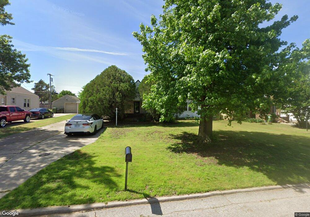
This home is located at 918 Elm Ave, Yukon, OK 73099 and is currently estimated at $163,689, approximately $125 per square foot. 918 Elm Ave is a home located in Canadian County with nearby schools including Central Elementary School, Independence Elementary School, and Yukon Middle School.
Ownership History
Date
Name
Owned For
Owner Type
Purchase Details
Closed on
Jun 13, 2008
Sold by
Basore George Wayne
Bought by
Powell Robert and Powell Shawnna
Current Estimated Value
Home Financials for this Owner
Home Financials are based on the most recent Mortgage that was taken out on this home.
Original Mortgage
$74,000
Outstanding Balance
$47,364
Interest Rate
6%
Mortgage Type
Seller Take Back
Estimated Equity
$116,325
Purchase Details
Closed on
Sep 10, 1998
Sold by
Basore George
Purchase Details
Closed on
Aug 21, 1998
Sold by
Basore George
Create a Home Valuation Report for This Property
The Home Valuation Report is an in-depth analysis detailing your home's value as well as a comparison with similar homes in the area
Home Values in the Area
Average Home Value in this Area
Purchase History
| Date | Buyer | Sale Price | Title Company |
|---|---|---|---|
| Powell Robert | $74,000 | None Available | |
| -- | -- | -- | |
| -- | -- | -- |
Source: Public Records
Mortgage History
| Date | Status | Borrower | Loan Amount |
|---|---|---|---|
| Open | Powell Robert | $74,000 |
Source: Public Records
Tax History Compared to Growth
Tax History
| Year | Tax Paid | Tax Assessment Tax Assessment Total Assessment is a certain percentage of the fair market value that is determined by local assessors to be the total taxable value of land and additions on the property. | Land | Improvement |
|---|---|---|---|---|
| 2024 | $878 | $9,373 | $2,411 | $6,962 |
| 2023 | $878 | $9,101 | $2,239 | $6,862 |
| 2022 | $853 | $8,836 | $2,043 | $6,793 |
| 2021 | $843 | $8,720 | $2,043 | $6,677 |
| 2020 | $833 | $8,720 | $2,043 | $6,677 |
| 2019 | $830 | $8,671 | $2,043 | $6,628 |
| 2018 | $805 | $8,419 | $2,043 | $6,376 |
| 2017 | $837 | $8,711 | $2,043 | $6,668 |
| 2016 | $814 | $8,509 | $2,043 | $6,466 |
| 2015 | $805 | $8,252 | $2,043 | $6,209 |
| 2014 | $805 | $8,305 | $1,992 | $6,313 |
Source: Public Records
Map
Nearby Homes
- 1101 W Main St
- 1016 Maple Ave
- 1004 Cedar Ave
- 417 Garth Brooks Blvd
- 600 S 8th St
- 11325 SW 34th Terrace
- 601 S 8th St
- 9116 Anaum Ln
- 705 Yukon Ave
- 2117 Aminas Way
- 624 Frisco Ridge Rd
- 2001 Aminas Way
- 11033 NW 20th Terrace
- 210 N 4th St
- 621 Yukon Ave
- 4601 Grassland Dr
- 11817 Corie Nicole Ln
- 502 Walnut Ave
- 3608 Northover Ridge Dr
- 3509 Sawtooth Ridge Dr