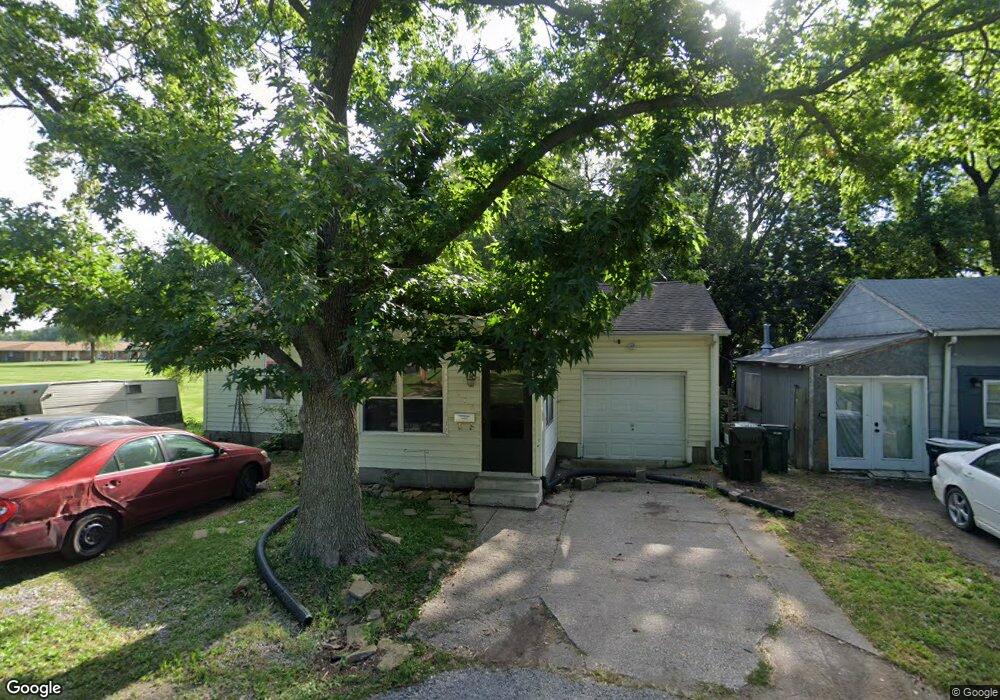
918 Owens St Moberly, MO 65270
Estimated Value: $88,000 - $143,000
2
Beds
2
Baths
1,480
Sq Ft
$81/Sq Ft
Est. Value
About This Home
This home is located at 918 Owens St, Moberly, MO 65270 and is currently estimated at $120,414, approximately $81 per square foot. 918 Owens St is a home located in Randolph County with nearby schools including Moberly Senior High School, St. Pius X. Catholic School, and Maranatha Seventh-day Adventist School.
Ownership History
Date
Name
Owned For
Owner Type
Purchase Details
Closed on
Feb 15, 2008
Sold by
Bailey Michael C and Bailey Patrice L
Bought by
Smith Cathy
Current Estimated Value
Home Financials for this Owner
Home Financials are based on the most recent Mortgage that was taken out on this home.
Original Mortgage
$37,500
Outstanding Balance
$23,180
Interest Rate
5.68%
Estimated Equity
$97,234
Create a Home Valuation Report for This Property
The Home Valuation Report is an in-depth analysis detailing your home's value as well as a comparison with similar homes in the area
Home Values in the Area
Average Home Value in this Area
Purchase History
| Date | Buyer | Sale Price | Title Company |
|---|---|---|---|
| Smith Cathy | $37,500 | -- |
Source: Public Records
Mortgage History
| Date | Status | Borrower | Loan Amount |
|---|---|---|---|
| Open | Smith Cathy | $37,500 |
Source: Public Records
Tax History
| Year | Tax Paid | Tax Assessment Tax Assessment Total Assessment is a certain percentage of the fair market value that is determined by local assessors to be the total taxable value of land and additions on the property. | Land | Improvement |
|---|---|---|---|---|
| 2025 | $449 | $6,800 | $1,201 | $5,599 |
| 2024 | $4 | $6,170 | $1,044 | $5,126 |
| 2023 | $456 | $6,170 | $1,044 | $5,126 |
| 2022 | $441 | $6,130 | $1,044 | $5,086 |
| 2020 | $422 | $5,871 | $1,046 | $4,825 |
| 2019 | $422 | $5,870 | $1,046 | $4,824 |
| 2018 | $420 | $5,870 | $1,046 | $4,824 |
| 2017 | $419 | $5,870 | $0 | $0 |
| 2016 | $427 | $6,010 | $0 | $0 |
| 2014 | -- | $6,300 | $0 | $0 |
| 2013 | -- | $6,300 | $0 | $0 |
| 2012 | -- | $6,800 | $0 | $0 |
Source: Public Records
Map
Nearby Homes
- 609 Franklin Ave
- 523 Morehead St
- 619 Madison Ave
- 512 Chandler St
- 537 Fulton Ave
- Lot 11 Stonebridge Lane (Plat 2)
- Lot 10 Stonebridge Lane (Plat 2)
- 319 Union Ave
- 722 Vincil St
- 703 Taylor St
- 812 N Moulton St
- 321 Farror St
- 712 Farror St
- 409 Barrow St
- 0 Highway 63
- 204 Bertley St
- 101 N Ault St
- 216 Lotter St
- 719 E Logan St
- 628 Woodland Ave
- 914 Owens St
- 910 Owens St
- 515 Jefferson Ave
- 531 Jefferson Ave
- 906 Owens St
- 518 Jefferson Ave
- 525 Franklin Ave
- 527 Jefferson Ave
- 516 Jefferson Ave
- 601 Franklin Ave
- 517 Jefferson Ave
- 523 Franklin Ave
- 615 Franklin Ave
- 526 Morehead St
- 619 Franklin Ave
- 512 Jefferson Ave
- 518 Morehead St
- 800 Sinnock Ave
- 621 Franklin Ave
- 517 Franklin Ave
Your Personal Tour Guide
Ask me questions while you tour the home.