Estimated Value: $149,000 - $231,000
3
Beds
2
Baths
1,689
Sq Ft
$108/Sq Ft
Est. Value
About This Home
This home is located at 918 Penny Ln, Miami, OK 74354 and is currently estimated at $181,631, approximately $107 per square foot. 918 Penny Ln is a home located in Ottawa County with nearby schools including Miami High School.
Ownership History
Date
Name
Owned For
Owner Type
Purchase Details
Closed on
Jul 27, 2022
Sold by
Payne David D and Payne Alice L
Bought by
Payne David D and Payne Alice L
Current Estimated Value
Purchase Details
Closed on
Jun 12, 2012
Sold by
Ragsdale Jack and Ragsdale Linda A
Bought by
Kirby Bridget and Reed Joshua
Purchase Details
Closed on
Jun 29, 2011
Sold by
Kirby Bridget R and Kirby Bridget
Bought by
Kirby Bridget and Reed Joshua
Purchase Details
Closed on
May 31, 2011
Sold by
Payne David and Payne Alice L
Bought by
Kirby Bridget R and Reed Josh
Purchase Details
Closed on
Aug 30, 2007
Sold by
Payne David and Payne Alice L
Bought by
Murphree Sherman Todd and Murohree Sharilynn
Purchase Details
Closed on
Sep 27, 1999
Bought by
Murphree Sherman Todd Et
Create a Home Valuation Report for This Property
The Home Valuation Report is an in-depth analysis detailing your home's value as well as a comparison with similar homes in the area
Home Values in the Area
Average Home Value in this Area
Purchase History
| Date | Buyer | Sale Price | Title Company |
|---|---|---|---|
| Payne David D | -- | None Listed On Document | |
| Kirby Bridget | -- | None Available | |
| Kirby Bridget | -- | None Available | |
| Kirby Bridget R | -- | Ottawa County Abstruct & Tit | |
| Murphree Sherman Todd | -- | None Available | |
| Murphree Sherman Todd Et | $52,000 | -- |
Source: Public Records
Tax History Compared to Growth
Tax History
| Year | Tax Paid | Tax Assessment Tax Assessment Total Assessment is a certain percentage of the fair market value that is determined by local assessors to be the total taxable value of land and additions on the property. | Land | Improvement |
|---|---|---|---|---|
| 2025 | $393 | $5,224 | $68 | $5,156 |
| 2024 | $393 | $5,072 | $66 | $5,006 |
| 2023 | $393 | $4,924 | $65 | $4,859 |
| 2022 | $350 | $4,781 | $65 | $4,716 |
| 2021 | $344 | $4,641 | $64 | $4,577 |
| 2020 | $334 | $4,507 | $64 | $4,443 |
| 2019 | $277 | $4,375 | $63 | $4,312 |
| 2018 | $268 | $4,248 | $62 | $4,186 |
| 2017 | $262 | $4,124 | $61 | $4,063 |
| 2016 | $241 | $4,004 | $60 | $3,944 |
| 2015 | $498 | $5,928 | $90 | $5,838 |
| 2014 | $236 | $3,887 | $58 | $3,829 |
Source: Public Records
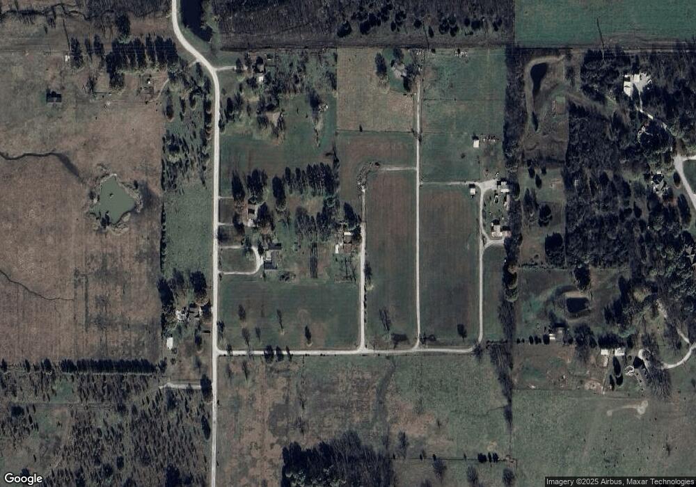
Map
Nearby Homes
- 10526 S 590 Rd
- 58920 E 102 Rd
- 11631 S 587 Rd
- 11703 S 587 Rd
- 59608 W Peoria Cir
- 9985 S 593 Rd
- 59501 E 100 Rd
- 17 S Elm St
- 0 S 600 Rd Unit 24321477
- 229 K St SE
- 1831 7th Ave NE
- 900 E Steve Owens Blvd
- 0 E 110 Rd Unit 25-2147
- 11801 S 600 Rd
- 200 K St SE
- 630 N Elm St
- 610 Mckinley Blvd
- 29 I St SE
- 718 N Elm St
- 2003 E Rockdale Rd
- 927 Eastgate Blvd
- 1008 Quail Run Ct
- 1010 Quail Run Ct
- 913 Eastgate Blvd
- 1007 Eastgate Blvd
- 3020 Regent Rd
- 823 Eastgate Blvd
- 3804 Regent Rd
- 1006 Eastgate Blvd
- 824 Somerset Rd
- 810 Eastgate Blvd
- 1100 Eastgate Blvd
- 58750 E 107 Rd
- 675 Eastgate Blvd
- 58751 E 107 Rd
- 58500 E 110 Rd
- 800 Block of Eastgate Blvd
- 1106 Larson Ln
- 808 Eastgate Blvd
- 1202 Eastgate Blvd