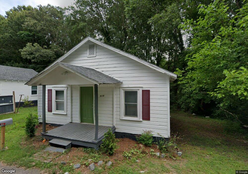
918 W Airline Extension Shelby, NC 28150
Estimated Value: $143,000 - $176,000
8
Beds
4
Baths
2,742
Sq Ft
$59/Sq Ft
Est. Value
About This Home
This home is located at 918 W Airline Extension, Shelby, NC 28150 and is currently estimated at $162,647, approximately $59 per square foot. 918 W Airline Extension is a home located in Cleveland County with nearby schools including Jefferson Elementary School, Shelby Middle School, and Shelby High School.
Ownership History
Date
Name
Owned For
Owner Type
Purchase Details
Closed on
Feb 29, 2024
Sold by
Ira Jack D Gaudin and Ira Club
Bought by
Sesame Road Trust
Current Estimated Value
Purchase Details
Closed on
Feb 28, 2024
Sold by
Boyd Michael
Bought by
918 Airline Llc
Purchase Details
Closed on
Nov 15, 2023
Sold by
Sesame Road Trust
Bought by
Ira Club and Gaudin
Purchase Details
Closed on
Aug 18, 2022
Sold by
Margaret Watson
Bought by
Sesame Road Trust
Purchase Details
Closed on
Oct 14, 2005
Sold by
Walson Cart and Walson Carol
Bought by
Walson Margaet
Create a Home Valuation Report for This Property
The Home Valuation Report is an in-depth analysis detailing your home's value as well as a comparison with similar homes in the area
Home Values in the Area
Average Home Value in this Area
Purchase History
| Date | Buyer | Sale Price | Title Company |
|---|---|---|---|
| Sesame Road Trust | -- | None Listed On Document | |
| 918 Airline Llc | $151,500 | None Listed On Document | |
| Ira Club | $154,500 | None Listed On Document | |
| Sesame Road Trust | $130,000 | -- | |
| Walson Margaet | -- | S |
Source: Public Records
Tax History Compared to Growth
Tax History
| Year | Tax Paid | Tax Assessment Tax Assessment Total Assessment is a certain percentage of the fair market value that is determined by local assessors to be the total taxable value of land and additions on the property. | Land | Improvement |
|---|---|---|---|---|
| 2025 | $287 | $28,800 | $28,800 | $0 |
| 2024 | $187 | $15,552 | $15,552 | $0 |
| 2023 | $428 | $35,953 | $24,802 | $11,151 |
| 2022 | $426 | $35,548 | $24,397 | $11,151 |
| 2021 | $428 | $35,548 | $24,397 | $11,151 |
| 2020 | $521 | $41,961 | $24,397 | $17,564 |
| 2019 | $521 | $41,961 | $24,397 | $17,564 |
| 2018 | $521 | $41,961 | $24,397 | $17,564 |
| 2017 | $508 | $41,961 | $24,397 | $17,564 |
| 2016 | $511 | $41,961 | $24,397 | $17,564 |
| 2015 | $1,006 | $80,626 | $16,537 | $64,089 |
| 2014 | $1,006 | $80,626 | $16,537 | $64,089 |
Source: Public Records
Map
Nearby Homes
- 905 Hawthorne Rd
- 911 Earl St
- 930 Elizabeth Rd
- 319 Black St
- 213 Knott St
- 207 Knott St
- 424 Airline Extension
- 515 Suttle St
- 8 Bolt Dr
- 214 Belvedere Ave
- 823 Frederick St
- 310 S Poston St
- 304 Belvedere Ave
- 1146 Buffalo St
- 921 Logan St
- 506 E Marion St
- 409 Forest Hill Dr
- 421 Carolina Ave
- 324 Beaumonde Ave
- 406 Jacob St