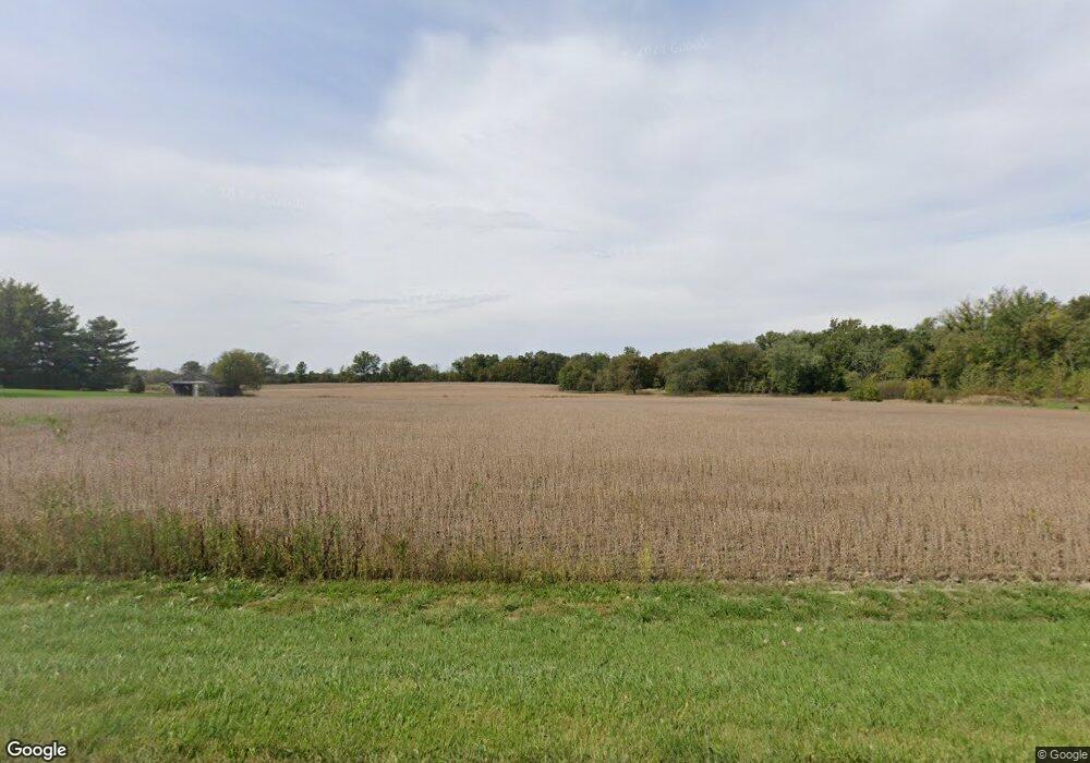
9180 S Us Highway 27 Geneva, IN 46740
Estimated Value: $224,000 - $366,000
3
Beds
2
Baths
1,631
Sq Ft
$177/Sq Ft
Est. Value
About This Home
This home is located at 9180 S Us Highway 27, Geneva, IN 46740 and is currently estimated at $288,357, approximately $176 per square foot. 9180 S Us Highway 27 is a home with nearby schools including South Adams Elementary School, South Adams Middle School, and South Adams High School.
Ownership History
Date
Name
Owned For
Owner Type
Purchase Details
Closed on
Dec 23, 2021
Sold by
Morningstar Melanie A
Bought by
Morningstar Melanie A and Reisen Randall A
Current Estimated Value
Purchase Details
Closed on
Feb 1, 2016
Sold by
Mooser Rodney K and Mosser Jane E
Bought by
Morningstar Melanie A
Home Financials for this Owner
Home Financials are based on the most recent Mortgage that was taken out on this home.
Original Mortgage
$103,000
Interest Rate
4%
Mortgage Type
Commercial
Create a Home Valuation Report for This Property
The Home Valuation Report is an in-depth analysis detailing your home's value as well as a comparison with similar homes in the area
Home Values in the Area
Average Home Value in this Area
Purchase History
| Date | Buyer | Sale Price | Title Company |
|---|---|---|---|
| Morningstar Melanie A | -- | None Available | |
| Morningstar Melanie A | -- | None Available |
Source: Public Records
Mortgage History
| Date | Status | Borrower | Loan Amount |
|---|---|---|---|
| Previous Owner | Morningstar Melanie A | $103,000 |
Source: Public Records
Tax History Compared to Growth
Tax History
| Year | Tax Paid | Tax Assessment Tax Assessment Total Assessment is a certain percentage of the fair market value that is determined by local assessors to be the total taxable value of land and additions on the property. | Land | Improvement |
|---|---|---|---|---|
| 2024 | $2,560 | $180,500 | $51,500 | $129,000 |
| 2023 | $2,643 | $172,700 | $50,100 | $122,600 |
| 2022 | $2,859 | $168,600 | $48,600 | $120,000 |
| 2021 | $3,728 | $296,100 | $74,900 | $221,200 |
| 2020 | $3,553 | $284,100 | $74,800 | $209,300 |
| 2019 | $3,410 | $279,400 | $78,100 | $201,300 |
| 2018 | $3,362 | $273,400 | $78,700 | $194,700 |
| 2017 | $3,309 | $266,400 | $74,900 | $191,500 |
| 2016 | $950 | $123,300 | $32,100 | $91,200 |
| 2014 | $1,855 | $119,700 | $32,800 | $86,900 |
| 2013 | $2,059 | $118,900 | $30,400 | $88,500 |
Source: Public Records
Map
Nearby Homes
- TBD E Shore Dr
- 630 N Main St
- 195 Wabash Valley Dr
- 570 Winchester Rd
- 240 Old Hickory Ln
- 200 Pyle St
- 115 High St
- 0 S Indiana 116
- 205 Holly Ln
- 401 W 1125 S
- 120 Hahnemann Ct
- 2422 W 700 S
- 1075 Black Bear Path
- 1750 Oakwood Ln
- 156 Bryan St
- 1346 Stuckistrasse
- 766 W Van Buren St
- 260 S Jefferson St
- 155 Oregon St
- 1018 W Water St
- 327 400 W Harrison St
- 0 S 400 W Unit 201108611
- 1 Line St
- TBD Limberlost Trail
- TBD 200 W
- 9018 S 700 E
- 9200 S Us Highway 27
- 981 SW High St
- 967 SW High St
- 955 SW High St
- 895 SW High St
- 9370 SW 2nd St
- 877 SW High St
- 870 SW High St
- 870 SW High St
- 9375 SW 2nd St
- 850 SW High St
- 9444 SW 3rd St
- 9411 SW 2nd St
- 821 SW High St
