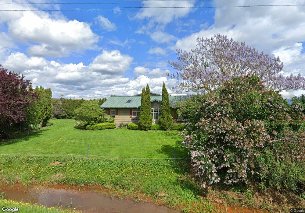
9184 Depot Rd Lynden, WA 98264
Estimated Value: $1,619,000
5
Beds
2
Baths
2,192
Sq Ft
$739/Sq Ft
Est. Value
About This Home
This home is located at 9184 Depot Rd, Lynden, WA 98264 and is currently estimated at $1,619,000, approximately $738 per square foot. 9184 Depot Rd is a home located in Whatcom County with nearby schools including Lynden High School, Lynden Christian School, and Lynden Christian Schools: Administration.
Ownership History
Date
Name
Owned For
Owner Type
Purchase Details
Closed on
Jan 5, 2004
Sold by
Weg Gary A and Weg Shari L
Bought by
Manner Way Llc
Current Estimated Value
Home Financials for this Owner
Home Financials are based on the most recent Mortgage that was taken out on this home.
Original Mortgage
$1,170,000
Interest Rate
5.7%
Mortgage Type
Seller Take Back
Create a Home Valuation Report for This Property
The Home Valuation Report is an in-depth analysis detailing your home's value as well as a comparison with similar homes in the area
Home Values in the Area
Average Home Value in this Area
Purchase History
| Date | Buyer | Sale Price | Title Company |
|---|---|---|---|
| Manner Way Llc | $1,300,000 | -- |
Source: Public Records
Mortgage History
| Date | Status | Borrower | Loan Amount |
|---|---|---|---|
| Previous Owner | Manner Way Llc | $1,170,000 |
Source: Public Records
Tax History Compared to Growth
Tax History
| Year | Tax Paid | Tax Assessment Tax Assessment Total Assessment is a certain percentage of the fair market value that is determined by local assessors to be the total taxable value of land and additions on the property. | Land | Improvement |
|---|---|---|---|---|
| 2024 | $8,620 | $1,518,610 | $672,758 | $845,852 |
| 2023 | $8,620 | $1,772,534 | $793,941 | $978,593 |
| 2022 | $8,021 | $1,626,146 | $728,372 | $897,774 |
| 2021 | $7,257 | $1,270,412 | $569,034 | $701,378 |
| 2020 | $6,345 | $586,441 | $11,545 | $574,896 |
| 2019 | $6,178 | $917,475 | $410,949 | $506,526 |
| 2018 | $7,597 | $507,961 | $10,000 | $497,961 |
| 2017 | $6,797 | $519,984 | $12,020 | $507,964 |
| 2016 | $6,749 | $489,702 | $11,320 | $478,382 |
| 2015 | $5,941 | $489,702 | $11,320 | $478,382 |
| 2014 | -- | $549,405 | $84,124 | $465,281 |
| 2013 | -- | $499,612 | $77,013 | $422,599 |
Source: Public Records
Map
Nearby Homes
- 424 Island Green Way
- 0 Island Green Way
- 325 Island Green Way
- 8872 Depot Rd Unit 203
- 2111 Greenview Ln
- 8844 Depot Rd Unit B204
- 300 Homestead Blvd Unit 104
- 8780 Depot Rd Unit 207
- 8780 Depot Rd Unit 308
- 8780 Depot Rd Unit 309
- 114 Twin Sister Loop
- 1877 Emerald Way
- 600 Sunrise Dr
- 1739 Emerald Way
- 872 Sunrise Dr
- 761 Sunrise Dr
- 885 Sunrise Dr
- 9586 Bender Rd
- 107 Springview Dr
- 8639 Bender Rd
- 9242 Benson Rd
- 0 Depot Rd Unit 29072454
- 0 Depot Rd Unit 29138308
- 0 Depot Rd Unit 29072443
- 9290 Depot Rd
- 9071 Depot Rd
- 643 Pangborn Rd
- 644 Pangborn Rd
- 9156 Bender Rd
- 840 Pangborn Rd
- 582 Pangborn Rd
- 575 Pangborn Rd
- 5 Burlwood Way
- 570 Pangborn Rd
- 9216 Bender Rd
- 0 Alderwood Dr W Unit 28190310
- 0 Leatherwood Place Unit 28190328
- 1 Redwood Rd
- 0 Wiser Reach Ln Unit 28048014
- 0 Alderwood Dr W Unit 1909479