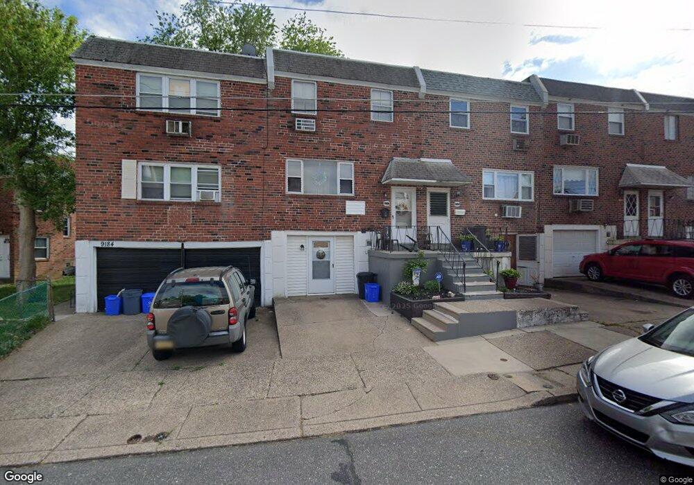
9186 Ryerson Rd Philadelphia, PA 19114
Torresdale NeighborhoodEstimated Value: $302,000 - $346,000
3
Beds
3
Baths
1,404
Sq Ft
$226/Sq Ft
Est. Value
About This Home
This home is located at 9186 Ryerson Rd, Philadelphia, PA 19114 and is currently estimated at $316,857, approximately $225 per square foot. 9186 Ryerson Rd is a home located in Philadelphia County with nearby schools including Lincoln High School, Robert B. Pollock School, and Meehan Austin Middle School.
Ownership History
Date
Name
Owned For
Owner Type
Purchase Details
Closed on
Nov 26, 2010
Sold by
Stephens Barbara B and Borek Jason M
Bought by
Borek Jason M
Current Estimated Value
Home Financials for this Owner
Home Financials are based on the most recent Mortgage that was taken out on this home.
Original Mortgage
$156,976
Outstanding Balance
$105,802
Interest Rate
4.62%
Mortgage Type
FHA
Estimated Equity
$211,055
Purchase Details
Closed on
Jul 13, 2007
Sold by
Lifsted Joseph C and Lifsted Regina
Bought by
Stephens Barbara B and Borek Jason M
Home Financials for this Owner
Home Financials are based on the most recent Mortgage that was taken out on this home.
Original Mortgage
$148,500
Interest Rate
9.5%
Mortgage Type
Purchase Money Mortgage
Create a Home Valuation Report for This Property
The Home Valuation Report is an in-depth analysis detailing your home's value as well as a comparison with similar homes in the area
Home Values in the Area
Average Home Value in this Area
Purchase History
| Date | Buyer | Sale Price | Title Company |
|---|---|---|---|
| Borek Jason M | -- | None Available | |
| Stephens Barbara B | $165,000 | None Available |
Source: Public Records
Mortgage History
| Date | Status | Borrower | Loan Amount |
|---|---|---|---|
| Open | Borek Jason M | $156,976 | |
| Previous Owner | Stephens Barbara B | $148,500 |
Source: Public Records
Tax History Compared to Growth
Tax History
| Year | Tax Paid | Tax Assessment Tax Assessment Total Assessment is a certain percentage of the fair market value that is determined by local assessors to be the total taxable value of land and additions on the property. | Land | Improvement |
|---|---|---|---|---|
| 2025 | $3,043 | $269,700 | $53,940 | $215,760 |
| 2024 | $3,043 | $269,700 | $53,940 | $215,760 |
| 2023 | $3,043 | $217,400 | $43,480 | $173,920 |
| 2022 | $1,862 | $172,400 | $43,480 | $128,920 |
| 2021 | $2,492 | $0 | $0 | $0 |
| 2020 | $2,492 | $0 | $0 | $0 |
| 2019 | $2,346 | $0 | $0 | $0 |
| 2018 | $2,158 | $0 | $0 | $0 |
| 2017 | $2,158 | $0 | $0 | $0 |
| 2016 | $2,158 | $0 | $0 | $0 |
| 2015 | $2,066 | $0 | $0 | $0 |
| 2014 | -- | $154,200 | $23,981 | $130,219 |
| 2012 | -- | $20,896 | $4,200 | $16,696 |
Source: Public Records
Map
Nearby Homes
- 2710 Riverhouse Rd
- 2843 Woodbridge Rd
- 9428 Woodbridge Rd
- 2738 Maxwell St
- 2959 Tremont St
- 2831 Sebring Rd
- 2831 Chase Rd
- 2833 Saxton Rd
- 9311 Andover Rd
- 2777 Welsh Rd
- 2742 Welsh Rd
- 3108 Fairfield St
- 2817 Walnut Hill St Unit A
- 2633 Maxwell St
- 3215 Brookdale Rd
- 9328 Academy Rd
- 9214 Andover Rd
- 8860 Manchester St
- 2949 Joey Dr
- 9202 Treaty Rd
- 9188 Ryerson Rd
- 9184 Ryerson Rd
- 9190 Ryerson Rd
- 9192 Ryerson Rd
- 9182 Ryerson Rd
- 9155 Ashton Rd
- 9194 Ryerson Rd
- 9180 Ryerson Rd
- 9153 Ashton Rd
- 9178 Ryerson Rd
- 9196 Ryerson Rd
- 9176 Ryerson Rd
- 9151 Ashton Rd
- 9149 Ashton Rd
- 9174 Ryerson Rd
- 9189 Ryerson Rd
- 9191 Ryerson Rd
- 9147 Ashton Rd
- 9193 Ryerson Rd
- 9185 Ryerson Rd Unit 2ND FLOOR