9189 Grubb Ct NE Canton, OH 44721
Estimated Value: $275,000 - $399,000
3
Beds
2
Baths
2,236
Sq Ft
$143/Sq Ft
Est. Value
About This Home
This home is located at 9189 Grubb Ct NE, Canton, OH 44721 and is currently estimated at $318,901, approximately $142 per square foot. 9189 Grubb Ct NE is a home located in Stark County with nearby schools including Lake Middle/High School.
Ownership History
Date
Name
Owned For
Owner Type
Purchase Details
Closed on
Aug 20, 2025
Sold by
Mgv Properties Llc
Bought by
Vargas Mario R and Vargas Gina L
Current Estimated Value
Purchase Details
Closed on
May 6, 2025
Sold by
Vargas Mario R
Bought by
Mgv Properties Llc
Purchase Details
Closed on
Aug 23, 2022
Sold by
Ann Besse Mary
Bought by
Vargas Mario R
Create a Home Valuation Report for This Property
The Home Valuation Report is an in-depth analysis detailing your home's value as well as a comparison with similar homes in the area
Home Values in the Area
Average Home Value in this Area
Purchase History
| Date | Buyer | Sale Price | Title Company |
|---|---|---|---|
| Vargas Mario R | -- | None Listed On Document | |
| Mgv Properties Llc | -- | None Listed On Document | |
| Vargas Mario R | -- | Gruber Haren Thomas & Co |
Source: Public Records
Tax History Compared to Growth
Tax History
| Year | Tax Paid | Tax Assessment Tax Assessment Total Assessment is a certain percentage of the fair market value that is determined by local assessors to be the total taxable value of land and additions on the property. | Land | Improvement |
|---|---|---|---|---|
| 2025 | -- | $148,890 | $105,980 | $42,910 |
| 2024 | -- | $148,890 | $105,980 | $42,910 |
| 2023 | $2,303 | $91,110 | $64,470 | $26,640 |
| 2022 | $1,365 | $48,340 | $21,700 | $26,640 |
| 2021 | $1,891 | $48,340 | $21,700 | $26,640 |
| 2020 | $1,937 | $45,050 | $20,650 | $24,400 |
| 2019 | $1,920 | $45,070 | $20,660 | $24,410 |
| 2018 | $1,922 | $45,070 | $20,660 | $24,410 |
| 2017 | $2,184 | $47,030 | $23,460 | $23,570 |
| 2016 | $2,187 | $47,030 | $23,460 | $23,570 |
| 2015 | $2,186 | $47,030 | $23,460 | $23,570 |
| 2014 | $69 | $46,440 | $21,330 | $25,110 |
| 2013 | $1,035 | $46,440 | $21,330 | $25,110 |
Source: Public Records
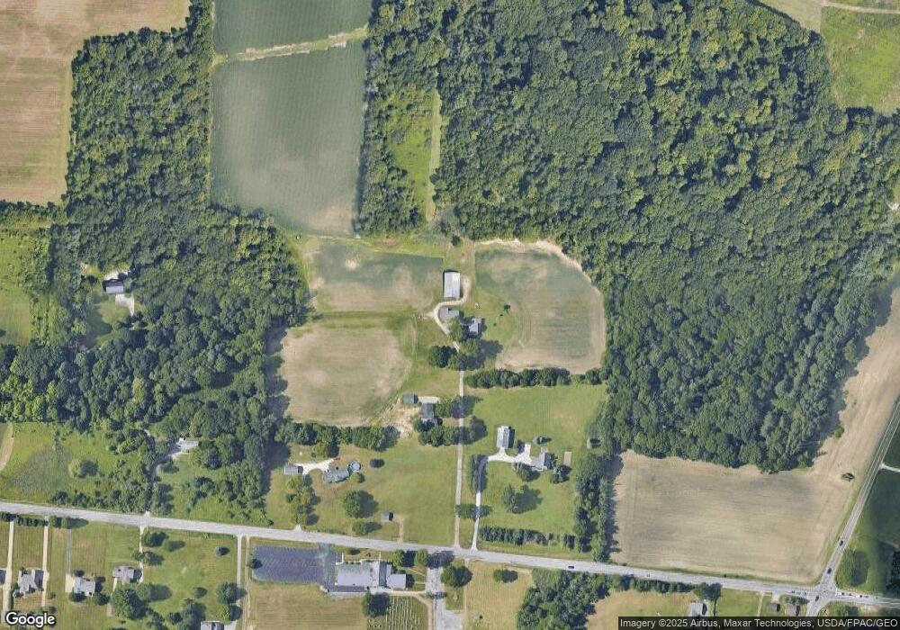
Map
Nearby Homes
- 9393 Kent Ave NE
- 8994 Kent Ave NE
- 9766 Smithdale Ave NE
- 9790 Smithdale Ave NE
- 2231 Lovers Ln NE
- 10277 Market Ave N
- 2315 Old Elm St NE
- 10387 Middlebranch Ave NE
- 1975 Eloise Cir NE
- 2793 Rita St NE
- 8275 Rolling Hill Ave NW
- 10277 Carlswood Ave NE
- 8314 Sapphire Ave NE
- 8271 Pheasant Ave NW
- Tupelo Plan at Sparwood Farms
- Cedar Plan at Sparwood Farms
- Elder Plan at Sparwood Farms
- Aspen Plan at Sparwood Farms
- 10299 Hunting Hills Ave NE
- 2623 Notre Dame St NE
- 9153 Grubb Ct NE
- 1551 State St NE
- 1435 State St NE
- 1435 State St NE
- 1451 State St NE
- 1460 State St NE
- 1319 State St NE
- 1508 State St NE
- 1313 State St NE
- 1654 State St NE
- 1330 State St NE
- 1300 State St NE
- 9069 Kent Ave NE
- 9091 Kent Ave NE
- 1274 State St NE
- 1169 State St NE
- 9545 Kent Ave NE
- 1195 State St NE
- 1246 State St NE
- 9270 Kent Ave NE