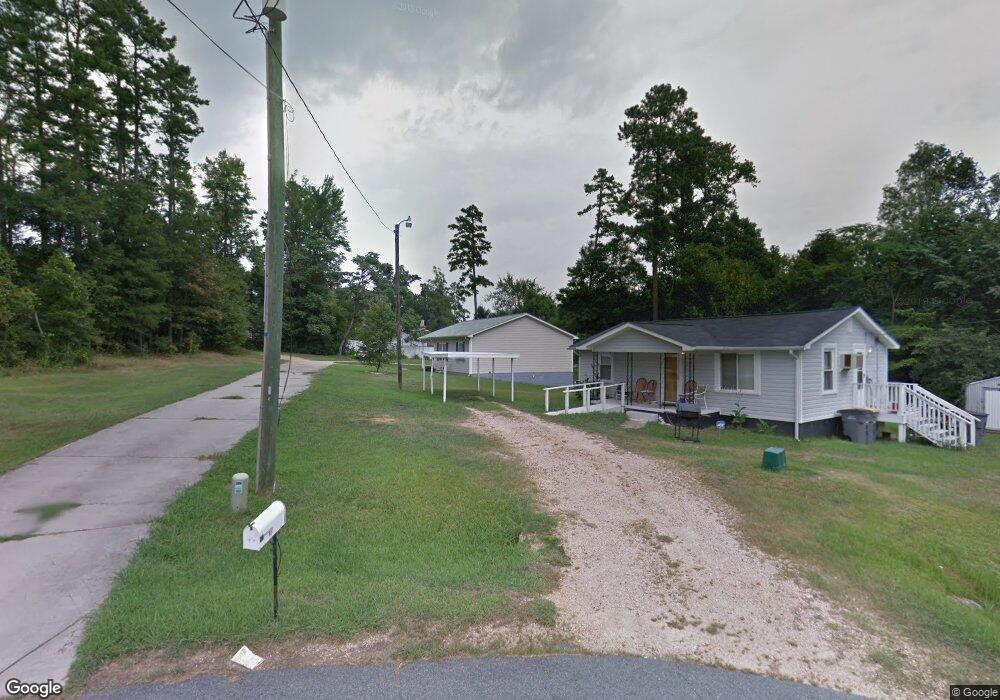
919 Aggie Ave Kannapolis, NC 28083
Estimated Value: $227,000 - $245,000
3
Beds
2
Baths
970
Sq Ft
$241/Sq Ft
Est. Value
About This Home
This home is located at 919 Aggie Ave, Kannapolis, NC 28083 and is currently estimated at $234,036, approximately $241 per square foot. 919 Aggie Ave is a home located in Cabarrus County with nearby schools including Forest Park Elementary School, Kannapolis Middle, and A.L. Brown High School.
Ownership History
Date
Name
Owned For
Owner Type
Purchase Details
Closed on
Nov 20, 2001
Sold by
Habitat For Humanity Cabarrus County Inc
Bought by
Robinson Rosalind
Current Estimated Value
Home Financials for this Owner
Home Financials are based on the most recent Mortgage that was taken out on this home.
Original Mortgage
$51,500
Interest Rate
7.08%
Mortgage Type
Seller Take Back
Create a Home Valuation Report for This Property
The Home Valuation Report is an in-depth analysis detailing your home's value as well as a comparison with similar homes in the area
Home Values in the Area
Average Home Value in this Area
Purchase History
| Date | Buyer | Sale Price | Title Company |
|---|---|---|---|
| Robinson Rosalind | $73,000 | -- |
Source: Public Records
Mortgage History
| Date | Status | Borrower | Loan Amount |
|---|---|---|---|
| Closed | Robinson Rosalind | $21,500 | |
| Previous Owner | Robinson Rosalind | $51,500 |
Source: Public Records
Tax History
| Year | Tax Paid | Tax Assessment Tax Assessment Total Assessment is a certain percentage of the fair market value that is determined by local assessors to be the total taxable value of land and additions on the property. | Land | Improvement |
|---|---|---|---|---|
| 2025 | $2,183 | $192,240 | $50,000 | $142,240 |
| 2024 | $2,183 | $192,240 | $50,000 | $142,240 |
| 2023 | $1,516 | $110,670 | $26,000 | $84,670 |
| 2022 | $1,516 | $110,670 | $26,000 | $84,670 |
| 2021 | $1,516 | $110,670 | $26,000 | $84,670 |
| 2020 | $1,516 | $110,670 | $26,000 | $84,670 |
| 2019 | $1,029 | $75,120 | $9,000 | $66,120 |
| 2018 | $1,014 | $75,120 | $9,000 | $66,120 |
| 2017 | $989 | $74,390 | $9,000 | $65,390 |
| 2016 | $989 | $84,110 | $15,000 | $69,110 |
| 2015 | $1,060 | $84,110 | $15,000 | $69,110 |
| 2014 | $1,060 | $84,110 | $15,000 | $69,110 |
Source: Public Records
Map
Nearby Homes
- 1052 Mclain Rd
- 1699 Mission Oaks St
- 803 Irene Ave
- 621 Norland Ave
- 1655 Garnett St
- 1615 Eastwood Dr
- 2122 Centergrove Rd
- 611 Sumner St
- 505 Rogers Lake Rd E
- 00 Dixie Dr
- 910 Fairview St
- 2485 Acadia Ct
- 127 Eddleman Rd
- 604 Fairview St
- 620 Marigold Dr
- 1713 Prism Place
- 108 S Little Texas Rd
- 304 Athens Hills Place
- 1011 Buick Ave
- 1416 Browdis Ave
- 923 Aggie Ave
- 1230 Forest Park Dr
- 1238 Forest Park Dr
- 927 Aggie Ave
- 1222 Forest Park Dr
- 1222 Forest Park Dr
- 1244 Forest Park Dr
- 1218 Forest Park Dr
- 913 Aggie Ave
- 1212 Forest Park Dr
- 1319 Aggie Ave
- 909 Aggie Ave
- 1227 Forest Park Dr
- 1235 Forest Park Dr
- 1241 Forest Park Dr
- 1216 Forest Park Dr
- 905 Aggie Ave
- 1247 Forest Park Dr
- 914 Aggie Ave
- 910 Aggie Ave
Your Personal Tour Guide
Ask me questions while you tour the home.