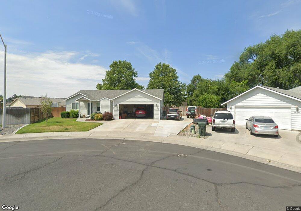
919 Brandt Ct Hermiston, OR 97838
Estimated Value: $317,251 - $366,000
3
Beds
2
Baths
1,288
Sq Ft
$265/Sq Ft
Est. Value
About This Home
This home is located at 919 Brandt Ct, Hermiston, OR 97838 and is currently estimated at $341,813, approximately $265 per square foot. 919 Brandt Ct is a home located in Umatilla County with nearby schools including Desert View Elementary School, Armand Larive Middle School, and Hermiston High School.
Ownership History
Date
Name
Owned For
Owner Type
Purchase Details
Closed on
Nov 4, 2020
Sold by
Magana Paul and Magana Connie
Bought by
Magana Paul Emilo and Magana Connie Marlene
Current Estimated Value
Purchase Details
Closed on
May 1, 2006
Sold by
Saul Gary L and Saul Gloria A
Bought by
Magana Paul and Magana Connie
Home Financials for this Owner
Home Financials are based on the most recent Mortgage that was taken out on this home.
Original Mortgage
$21,750
Interest Rate
6.29%
Mortgage Type
Seller Take Back
Create a Home Valuation Report for This Property
The Home Valuation Report is an in-depth analysis detailing your home's value as well as a comparison with similar homes in the area
Home Values in the Area
Average Home Value in this Area
Purchase History
| Date | Buyer | Sale Price | Title Company |
|---|---|---|---|
| Magana Paul Emilo | -- | None Available | |
| Magana Paul | $145,000 | Pioneer Title Co |
Source: Public Records
Mortgage History
| Date | Status | Borrower | Loan Amount |
|---|---|---|---|
| Closed | Magana Paul | $21,750 |
Source: Public Records
Tax History Compared to Growth
Tax History
| Year | Tax Paid | Tax Assessment Tax Assessment Total Assessment is a certain percentage of the fair market value that is determined by local assessors to be the total taxable value of land and additions on the property. | Land | Improvement |
|---|---|---|---|---|
| 2024 | $2,946 | $171,600 | $49,720 | $121,880 |
| 2023 | $2,949 | $166,610 | $48,270 | $118,340 |
| 2022 | $2,770 | $161,760 | $0 | $0 |
| 2021 | $2,788 | $157,050 | $45,500 | $111,550 |
| 2020 | $2,692 | $152,480 | $44,170 | $108,310 |
| 2018 | $3,012 | $143,730 | $41,630 | $102,100 |
| 2017 | $3,050 | $139,550 | $40,420 | $99,130 |
| 2016 | $2,940 | $135,490 | $39,250 | $96,240 |
| 2015 | $2,869 | $124,000 | $35,920 | $88,080 |
| 2014 | $2,765 | $124,000 | $35,920 | $88,080 |
Source: Public Records
Map
Nearby Homes
- 915 SW Coyote Dr
- 1031 SW Olive Ct
- 1175 SW Sandy Dr
- 751 W Joseph Ave
- 785 W Johns Ave
- 885 W Duane Ave
- 717 W Pheasant Ave
- 10 SW Sunrise Ct
- 1255 SW Sandy Dr
- 790 W Division Ave
- 1030 SW 11th St Unit 33
- 833 E Montana Ave
- 1825 W Highland Ave
- 833 E Autumn Ave
- 827 E Autumn Ave
- 1382 SW Riverhill Dr
- 590 SW Cottonwood Dr
- 880 W Quince Ave
- 1448 SW Riverhill Dr
- 572 SW Desert Sky Dr Unit 80
- 926 Brandt Ct
- 953 SW Joshua Ct
- 1314 SW 9th St
- 932 SW Joseph Ave
- 932 W Joseph Ave
- 914 Brandt Ct
- 908 Brandt Ct
- 946 SW Joseph Ave
- 904 SW Joseph Ave
- 958 SW Joseph Ave
- 925 SW Joseph Ave
- 931 W Joseph Ave
- 951 SW Joseph Ave
- 965 SW Joshua Ct
- 960 SW Joshua Ct
- 962 SW Joseph Ave
- 963 SW Joseph Ave
- 963 W Joseph Ave
- 916 W Cody Ave
- 932 W Cody Ave