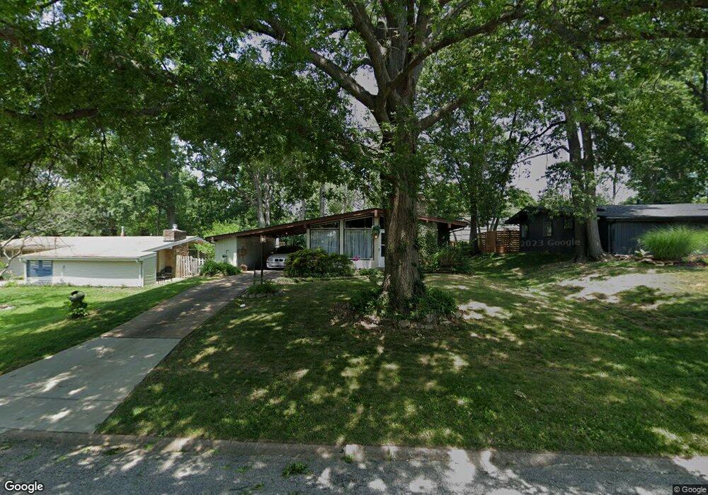
919 Coffey Dr Saint Louis, MO 63126
Estimated Value: $253,344 - $289,000
2
Beds
1
Bath
1,170
Sq Ft
$228/Sq Ft
Est. Value
About This Home
This home is located at 919 Coffey Dr, Saint Louis, MO 63126 and is currently estimated at $266,836, approximately $228 per square foot. 919 Coffey Dr is a home located in St. Louis County with nearby schools including Crestwood Elementary School, Truman Middle School, and Lindbergh High School.
Ownership History
Date
Name
Owned For
Owner Type
Purchase Details
Closed on
Mar 10, 2011
Sold by
Neighborhood Renewal Partners Llc
Bought by
Theiss Robert T
Current Estimated Value
Home Financials for this Owner
Home Financials are based on the most recent Mortgage that was taken out on this home.
Original Mortgage
$86,753
Outstanding Balance
$60,883
Interest Rate
5.25%
Mortgage Type
FHA
Estimated Equity
$205,953
Purchase Details
Closed on
Nov 22, 2010
Sold by
Revocable Living Trust Of Doris T Darlin
Bought by
Neighborhood Renewal Partners Llc and Mae Investments Llc
Create a Home Valuation Report for This Property
The Home Valuation Report is an in-depth analysis detailing your home's value as well as a comparison with similar homes in the area
Home Values in the Area
Average Home Value in this Area
Purchase History
| Date | Buyer | Sale Price | Title Company |
|---|---|---|---|
| Theiss Robert T | $89,900 | Ctc | |
| Neighborhood Renewal Partners Llc | $55,000 | Continental Title Company |
Source: Public Records
Mortgage History
| Date | Status | Borrower | Loan Amount |
|---|---|---|---|
| Open | Theiss Robert T | $86,753 |
Source: Public Records
Tax History
| Year | Tax Paid | Tax Assessment Tax Assessment Total Assessment is a certain percentage of the fair market value that is determined by local assessors to be the total taxable value of land and additions on the property. | Land | Improvement |
|---|---|---|---|---|
| 2025 | $2,686 | $42,770 | $23,480 | $19,290 |
| 2024 | $2,686 | $38,540 | $15,090 | $23,450 |
| 2023 | $2,483 | $38,540 | $15,090 | $23,450 |
| 2022 | $2,732 | $37,810 | $16,760 | $21,050 |
| 2021 | $2,490 | $37,810 | $16,760 | $21,050 |
| 2020 | $2,277 | $33,310 | $15,090 | $18,220 |
| 2019 | $2,271 | $33,310 | $15,090 | $18,220 |
| 2018 | $2,003 | $26,580 | $8,870 | $17,710 |
| 2017 | $1,981 | $26,580 | $8,870 | $17,710 |
| 2016 | $1,696 | $23,010 | $7,920 | $15,090 |
Source: Public Records
Map
Nearby Homes
- 1038 Leawood Dr
- 1006 Briarton Dr
- 638 Conover Ln
- 1048 Diversey Dr
- 1653 Crabapple Ln
- 1340 Samoa Dr
- 9722 Big Bend Blvd
- 9735 Big Bend Blvd
- 9467 Arban Dr
- 649 S Sappington Rd
- 429 Forest Green Dr
- 8563 Old Sappington Rd
- 9456 Arban Dr
- 0 Unknown Unit MIS25067424
- 0 Unknown Unit MIS25078799
- 0 Unknown Unit MIS26007827
- 1120 Tahiti Dr
- 14 Armin Ln
- 1527 S Rock Hill Rd
- 520 Pinellas Dr
Your Personal Tour Guide
Ask me questions while you tour the home.