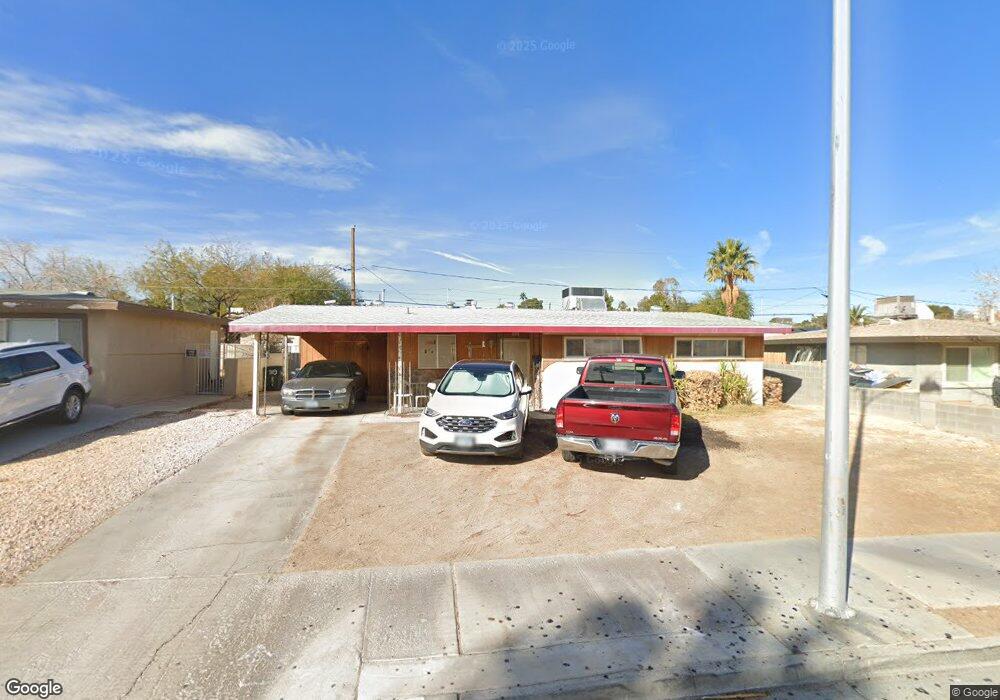
919 Date St Las Vegas, NV 89108
Twin Lakes NeighborhoodEstimated Value: $312,000 - $359,000
3
Beds
2
Baths
1,079
Sq Ft
$303/Sq Ft
Est. Value
About This Home
This home is located at 919 Date St, Las Vegas, NV 89108 and is currently estimated at $327,365, approximately $303 per square foot. 919 Date St is a home located in Clark County with nearby schools including Twin Lakes Elementary School, Robert O Gibson Middle School, and Western High School.
Ownership History
Date
Name
Owned For
Owner Type
Purchase Details
Closed on
Jun 6, 2005
Sold by
Morris Kendal T and Morris Debra K
Bought by
Morris Kendal T and Morris Debra K
Current Estimated Value
Home Financials for this Owner
Home Financials are based on the most recent Mortgage that was taken out on this home.
Original Mortgage
$90,000
Interest Rate
5.72%
Mortgage Type
New Conventional
Purchase Details
Closed on
Jun 30, 2001
Sold by
Morris Kendal T
Bought by
Morris Kendal T and Morris Debra K
Purchase Details
Closed on
Mar 27, 1998
Sold by
Morris Sally G and Morris Kendal T
Bought by
Morris Kendal T
Create a Home Valuation Report for This Property
The Home Valuation Report is an in-depth analysis detailing your home's value as well as a comparison with similar homes in the area
Home Values in the Area
Average Home Value in this Area
Purchase History
| Date | Buyer | Sale Price | Title Company |
|---|---|---|---|
| Morris Kendal T | -- | Community Title | |
| Morris Kendal T | -- | -- | |
| Morris Kendal T | -- | -- |
Source: Public Records
Mortgage History
| Date | Status | Borrower | Loan Amount |
|---|---|---|---|
| Closed | Morris Kendal T | $90,000 |
Source: Public Records
Tax History Compared to Growth
Tax History
| Year | Tax Paid | Tax Assessment Tax Assessment Total Assessment is a certain percentage of the fair market value that is determined by local assessors to be the total taxable value of land and additions on the property. | Land | Improvement |
|---|---|---|---|---|
| 2025 | $554 | $43,661 | $28,000 | $15,661 |
| 2024 | $538 | $43,661 | $28,000 | $15,661 |
| 2023 | $538 | $43,590 | $29,400 | $14,190 |
| 2022 | $522 | $36,443 | $23,800 | $12,643 |
| 2021 | $507 | $32,781 | $21,000 | $11,781 |
| 2020 | $489 | $32,453 | $21,000 | $11,453 |
| 2019 | $475 | $27,482 | $16,450 | $11,032 |
| 2018 | $461 | $25,409 | $15,050 | $10,359 |
| 2017 | $773 | $23,571 | $13,300 | $10,271 |
| 2016 | $438 | $18,644 | $8,750 | $9,894 |
| 2015 | $436 | $15,555 | $5,950 | $9,605 |
| 2014 | $422 | $12,504 | $4,900 | $7,604 |
Source: Public Records
Map
Nearby Homes
- 812 Pyramid Dr
- 1112 Hazard Ave
- 1317 Pyramid Dr
- 1325 Pyramid Dr
- 1101 Silver Lake Dr
- 821 Mar Jay Ct
- 1300 Oak Tree Ln
- 800 Langtry Dr
- 3616 Roseglen Ct
- 1313 Purple Sage Ave
- 1225 Arrowhead Ave
- 1204 Arrowhead Ave
- 1103 Arrowhead Ave
- 3871 Mountain Trail
- 3541 Arcadian Sea St
- 4301 Fortune Ave
- 3621 Arcadian Sea St
- 812 Hogan Dr
- 3541 Alpheus River Ave
- 3537 Alpheus River Ave