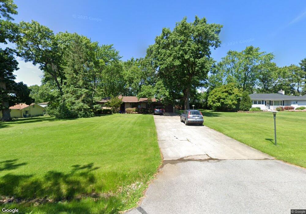
919 Hayes St Crown Point, IN 46307
Estimated Value: $258,000 - $324,195
3
Beds
2
Baths
1,706
Sq Ft
$178/Sq Ft
Est. Value
About This Home
This home is located at 919 Hayes St, Crown Point, IN 46307 and is currently estimated at $303,549, approximately $177 per square foot. 919 Hayes St is a home located in Lake County with nearby schools including Solon Robinson Elementary School, Robert Taft Middle School, and Crown Point High School.
Ownership History
Date
Name
Owned For
Owner Type
Purchase Details
Closed on
Aug 11, 2023
Sold by
Anthony Christofolis Revocable Trust
Bought by
Landers Steven A
Current Estimated Value
Home Financials for this Owner
Home Financials are based on the most recent Mortgage that was taken out on this home.
Original Mortgage
$176,000
Outstanding Balance
$171,990
Interest Rate
6.81%
Mortgage Type
New Conventional
Estimated Equity
$131,559
Purchase Details
Closed on
Feb 28, 2013
Sold by
Christofolis Anthony
Bought by
Christofolis Anthony and Anthony Christofolis Revocable
Create a Home Valuation Report for This Property
The Home Valuation Report is an in-depth analysis detailing your home's value as well as a comparison with similar homes in the area
Home Values in the Area
Average Home Value in this Area
Purchase History
| Date | Buyer | Sale Price | Title Company |
|---|---|---|---|
| Landers Steven A | -- | Northwest Indiana Title | |
| Christofolis Anthony | -- | None Available |
Source: Public Records
Mortgage History
| Date | Status | Borrower | Loan Amount |
|---|---|---|---|
| Open | Landers Steven A | $176,000 |
Source: Public Records
Tax History Compared to Growth
Tax History
| Year | Tax Paid | Tax Assessment Tax Assessment Total Assessment is a certain percentage of the fair market value that is determined by local assessors to be the total taxable value of land and additions on the property. | Land | Improvement |
|---|---|---|---|---|
| 2024 | $6,104 | $313,700 | $64,400 | $249,300 |
| 2023 | $2,745 | $287,200 | $64,400 | $222,800 |
| 2022 | $2,745 | $275,600 | $64,400 | $211,200 |
| 2021 | $2,369 | $254,000 | $50,200 | $203,800 |
| 2020 | $2,446 | $249,500 | $50,200 | $199,300 |
| 2019 | $2,449 | $241,800 | $50,200 | $191,600 |
| 2018 | $2,587 | $241,800 | $50,200 | $191,600 |
| 2017 | $2,388 | $224,300 | $50,200 | $174,100 |
| 2016 | $2,328 | $218,700 | $50,200 | $168,500 |
| 2014 | $2,044 | $210,700 | $50,300 | $160,400 |
| 2013 | $1,947 | $203,000 | $50,200 | $152,800 |
Source: Public Records
Map
Nearby Homes
- 801 Courtney Dr
- 642 Omega Dr
- 300 Omega Dr
- 1152 S Ridge St
- 991 Greenview Dr
- 622 E Brookside Dr
- 924 W Crestview Ct
- 425 Sherwood Dr
- 780 Williams Ct
- 936 Seneca Dr
- 217 Crestview Ln
- 1150 Greenview Place
- 744 S Court St
- 901 Iroquois Dr
- 1191 Churchill Ln
- 240 W Greenwood Ave
- 1270 E Greenview Place
- 1285 Greenview Place
- 1002 Gordon Ct
- 508 W 117th Place