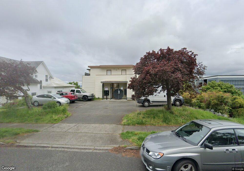
919 High St Unit 402 Bellingham, WA 98225
Sehome NeighborhoodEstimated Value: $491,000 - $550,000
2
Beds
2
Baths
1,082
Sq Ft
$482/Sq Ft
Est. Value
About This Home
This home is located at 919 High St Unit 402, Bellingham, WA 98225 and is currently estimated at $521,957, approximately $482 per square foot. 919 High St Unit 402 is a home located in Whatcom County with nearby schools including Lowell Elementary School, Fairhaven Middle School, and Sehome High School.
Ownership History
Date
Name
Owned For
Owner Type
Purchase Details
Closed on
Nov 16, 2023
Sold by
Klions Kenneth D and Klions Lisa M
Bought by
Klions Living Trust and Klions
Current Estimated Value
Purchase Details
Closed on
Apr 28, 2011
Sold by
Frank Philip R and Wechsler Terry J
Bought by
Klions Kenneth D and Klions Lisa M
Purchase Details
Closed on
Jul 14, 2006
Sold by
Post David A
Bought by
Frank Philip R and Wechsler Terry J
Home Financials for this Owner
Home Financials are based on the most recent Mortgage that was taken out on this home.
Original Mortgage
$220,000
Interest Rate
6.57%
Mortgage Type
New Conventional
Purchase Details
Closed on
Sep 9, 2005
Sold by
Sinderson Jesse D
Bought by
Post David A
Home Financials for this Owner
Home Financials are based on the most recent Mortgage that was taken out on this home.
Original Mortgage
$48,000
Interest Rate
5.63%
Mortgage Type
Stand Alone Second
Purchase Details
Closed on
Sep 17, 2004
Sold by
Sinderson Jesse D and Holtzman Sherry
Bought by
Sinderson Jesse D
Home Financials for this Owner
Home Financials are based on the most recent Mortgage that was taken out on this home.
Original Mortgage
$138,000
Interest Rate
5.12%
Mortgage Type
New Conventional
Purchase Details
Closed on
May 28, 2002
Sold by
Sinderson Steven
Bought by
Holtzman Sherry
Home Financials for this Owner
Home Financials are based on the most recent Mortgage that was taken out on this home.
Original Mortgage
$105,600
Interest Rate
5.21%
Purchase Details
Closed on
May 23, 2002
Sold by
Streeter Ronald J and Streeter Anneke
Bought by
Sinderson Jesse D and Holtzman Sherry
Home Financials for this Owner
Home Financials are based on the most recent Mortgage that was taken out on this home.
Original Mortgage
$105,600
Interest Rate
5.21%
Purchase Details
Closed on
May 27, 1999
Sold by
Streeter Ronald J and Streeter Anneke
Bought by
Streeter Ronald J and Streeter Anneke
Create a Home Valuation Report for This Property
The Home Valuation Report is an in-depth analysis detailing your home's value as well as a comparison with similar homes in the area
Home Values in the Area
Average Home Value in this Area
Purchase History
| Date | Buyer | Sale Price | Title Company |
|---|---|---|---|
| Klions Living Trust | $313 | None Listed On Document | |
| Klions Kenneth D | $232,780 | Whatcom Land Title | |
| Frank Philip R | $275,280 | Whatcom Land Title | |
| Post David A | $240,280 | First American Title Insuran | |
| Sinderson Jesse D | -- | Whatcom Land Title | |
| Holtzman Sherry | -- | Stewart Title | |
| Sinderson Jesse D | $132,000 | Stewart Title | |
| Streeter Ronald J | -- | -- |
Source: Public Records
Mortgage History
| Date | Status | Borrower | Loan Amount |
|---|---|---|---|
| Previous Owner | Frank Philip R | $220,000 | |
| Previous Owner | Post David A | $48,000 | |
| Previous Owner | Post David A | $192,000 | |
| Previous Owner | Sinderson Jesse D | $138,000 | |
| Previous Owner | Sinderson Jesse D | $105,600 |
Source: Public Records
Tax History Compared to Growth
Tax History
| Year | Tax Paid | Tax Assessment Tax Assessment Total Assessment is a certain percentage of the fair market value that is determined by local assessors to be the total taxable value of land and additions on the property. | Land | Improvement |
|---|---|---|---|---|
| 2024 | $3,753 | $482,032 | $75,200 | $406,832 |
| 2023 | $3,753 | $482,032 | $75,200 | $406,832 |
| 2022 | $3,275 | $398,382 | $62,150 | $336,232 |
| 2021 | $3,154 | $352,550 | $55,000 | $297,550 |
| 2020 | $3,559 | $320,500 | $50,000 | $270,500 |
| 2019 | $2,935 | $349,560 | $70,196 | $279,364 |
| 2018 | $3,252 | $289,015 | $58,038 | $230,977 |
| 2017 | $2,693 | $273,786 | $54,962 | $218,824 |
| 2016 | $2,420 | $236,960 | $47,567 | $189,393 |
| 2015 | $2,444 | $221,624 | $44,522 | $177,102 |
| 2014 | -- | $216,620 | $43,500 | $173,120 |
| 2013 | -- | $216,836 | $43,500 | $173,336 |
Source: Public Records
Map
Nearby Homes
- 615 E Myrtle St
- 616 E Myrtle St
- 901 N Forest St Unit 107
- 901 N Forest St Unit 125
- 901 N Forest St Unit 109
- 1001 N State St Unit 403
- 310 E Ivy St
- 1031 N State St Unit 107
- 1031 N State St Unit 209
- 1126 N Forest St
- 1015 Railroad Ave Unit 418
- 1309 Billy Frank Jr St
- 1205 E Maple St
- 0 Pine St Unit NWM2445229
- 1234 Grant St
- 1125 Otis St
- 414 Boulevard Unit 105
- 415 N State St
- 1335 Humboldt St
- 5 XX Gladstone St
- 919 High St Unit 401
- 919 High St Unit 302
- 919 High St Unit 301
- 919 High St Unit 202
- 919 High St Unit 201
- 919 High St Unit 101
- 919 High St
- 911 High St
- 921 High St Unit 8
- 921 High St Unit 7
- 921 High St Unit 6
- 921 High St Unit 4
- 921 High St Unit 3
- 921 High St Unit 2
- 921 High St Unit 1
- 921 High St
- 907 High St
- 916 N Garden St Unit B
- 916 N Garden St
- 920 N Garden St