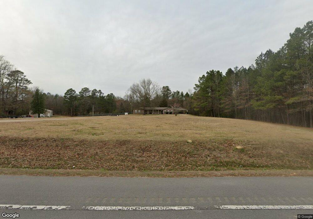
919 Highway 27 N Murfreesboro, AR 71958
Estimated Value: $213,000 - $674,000
--
Bed
2
Baths
1,922
Sq Ft
$175/Sq Ft
Est. Value
About This Home
This home is located at 919 Highway 27 N, Murfreesboro, AR 71958 and is currently estimated at $335,849, approximately $174 per square foot. 919 Highway 27 N is a home located in Pike County with nearby schools including Murfreesboro Elementary School, Murfreesboro High School, and Harvest Time Christian Academy.
Ownership History
Date
Name
Owned For
Owner Type
Purchase Details
Closed on
Sep 2, 2022
Bought by
Roddy Alexis L and Hinds Kelly B
Current Estimated Value
Purchase Details
Closed on
Mar 22, 2012
Sold by
Jackson Marc and Jackson Megan
Bought by
Fant Hunter
Purchase Details
Closed on
Mar 3, 2000
Bought by
Jackson
Purchase Details
Closed on
Mar 9, 1999
Bought by
Gilmer
Create a Home Valuation Report for This Property
The Home Valuation Report is an in-depth analysis detailing your home's value as well as a comparison with similar homes in the area
Home Values in the Area
Average Home Value in this Area
Purchase History
| Date | Buyer | Sale Price | Title Company |
|---|---|---|---|
| Roddy Alexis L | $159,750 | -- | |
| Fant Hunter | -- | Steel And Gunter, Attorneys | |
| Jackson | $65,000 | -- | |
| Gilmer | $30,000 | -- |
Source: Public Records
Tax History Compared to Growth
Tax History
| Year | Tax Paid | Tax Assessment Tax Assessment Total Assessment is a certain percentage of the fair market value that is determined by local assessors to be the total taxable value of land and additions on the property. | Land | Improvement |
|---|---|---|---|---|
| 2025 | $1,592 | $35,930 | $2,890 | $33,040 |
| 2024 | $1,592 | $35,930 | $2,890 | $33,040 |
| 2023 | $1,592 | $35,930 | $2,890 | $33,040 |
| 2022 | $886 | $35,930 | $2,890 | $33,040 |
| 2021 | $826 | $27,110 | $2,570 | $24,540 |
| 2020 | $826 | $27,110 | $2,570 | $24,540 |
| 2019 | $796 | $27,110 | $2,570 | $24,540 |
| 2018 | $770 | $27,110 | $2,570 | $24,540 |
| 2017 | $1,070 | $27,110 | $2,570 | $24,540 |
| 2015 | -- | $23,080 | $1,240 | $21,840 |
| 2014 | -- | $23,140 | $1,300 | $21,840 |
| 2013 | -- | $23,140 | $1,300 | $21,840 |
Source: Public Records
Map
Nearby Homes
- 863 Arkansas 27
- 49 Arkansas 27
- 409 E 13th St
- 1860 N Hwy 19
- 501 Arkansas 26
- 1456 N Washington Ave
- TBD Beavert Ln
- 1251 Highland Ave
- 114 Morgan St
- 110 Terrell St
- xxxx Hwy 26 & 379
- 904 3rd Ave
- 102 W Haislip St
- 84 N Old Factory Site Rd
- 228 Old Factory Site Rd Rd
- 228 Old Factory Site Rd
- 1701 S Washington Ave
- tbd Arkansas 301
- 19 Blue Dunn Dr Unit 19
- 20 Blue Dunn Dr Unit 20
- 905 Highway 27 N
- 925 Highway 27 N
- 889 Highway 27 N
- 0 Highway 27n Unit 17009764
- xx Pike City
- 882 Highway 27 N
- 45 Bambi Ln
- 870 Highway 27 N
- 863 Highway 27 N
- 856 Highway 27 N
- 21 Bambi Ln
- 12 Bambi Ln
- 9 Bambi Ln
- 40 Twin Ridge Rd
- 1011 Highway 27 N
- 1005 Highway 27 N
- 1006 Highway 27 N
- 1010 Highway 27 N
- 815 Highway 27 N
- 815 Highway 27 N