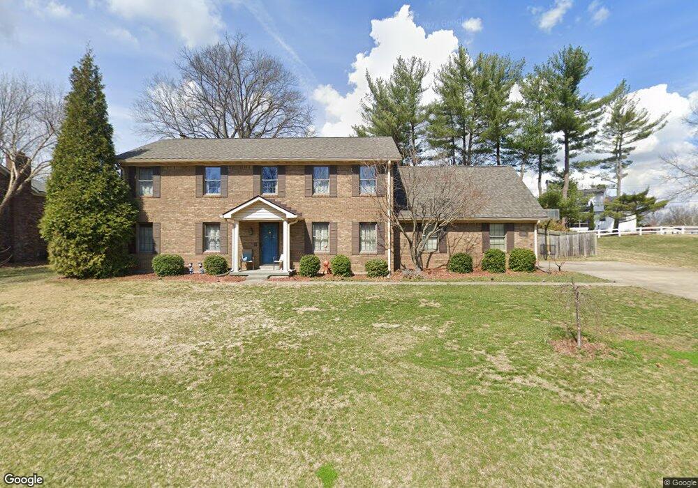
919 Mellwood Dr New Albany, IN 47150
Estimated Value: $340,000 - $445,000
4
Beds
4
Baths
3,901
Sq Ft
$103/Sq Ft
Est. Value
About This Home
This home is located at 919 Mellwood Dr, New Albany, IN 47150 and is currently estimated at $401,755, approximately $102 per square foot. 919 Mellwood Dr is a home located in Floyd County with nearby schools including Hazelwood Middle School, New Albany Senior High School, and Community Montessori.
Ownership History
Date
Name
Owned For
Owner Type
Purchase Details
Closed on
Apr 21, 2017
Sold by
Lawrence Jeffrey Scott
Bought by
Youngs
Current Estimated Value
Home Financials for this Owner
Home Financials are based on the most recent Mortgage that was taken out on this home.
Original Mortgage
$220,000
Outstanding Balance
$113,792
Interest Rate
4.23%
Mortgage Type
New Conventional
Estimated Equity
$287,963
Create a Home Valuation Report for This Property
The Home Valuation Report is an in-depth analysis detailing your home's value as well as a comparison with similar homes in the area
Home Values in the Area
Average Home Value in this Area
Purchase History
| Date | Buyer | Sale Price | Title Company |
|---|---|---|---|
| Youngs | $245,000 | -- | |
| Youngs Tyler P | $245,000 | Kemp Title Agency Llc |
Source: Public Records
Mortgage History
| Date | Status | Borrower | Loan Amount |
|---|---|---|---|
| Open | Youngs Tyler P | $220,000 |
Source: Public Records
Tax History Compared to Growth
Tax History
| Year | Tax Paid | Tax Assessment Tax Assessment Total Assessment is a certain percentage of the fair market value that is determined by local assessors to be the total taxable value of land and additions on the property. | Land | Improvement |
|---|---|---|---|---|
| 2024 | $4,521 | $423,100 | $33,700 | $389,400 |
| 2023 | $4,006 | $372,300 | $33,700 | $338,600 |
| 2022 | $3,678 | $343,000 | $33,700 | $309,300 |
| 2021 | $3,260 | $302,000 | $33,700 | $268,300 |
| 2020 | $3,267 | $302,300 | $33,700 | $268,600 |
| 2019 | $3,202 | $296,600 | $33,300 | $263,300 |
| 2018 | $2,744 | $249,300 | $33,300 | $216,000 |
| 2017 | $2,713 | $249,400 | $33,300 | $216,100 |
| 2016 | $2,210 | $229,500 | $33,300 | $196,200 |
| 2014 | $2,181 | $214,000 | $33,300 | $180,700 |
| 2013 | -- | $208,400 | $33,300 | $175,100 |
Source: Public Records
Map
Nearby Homes
- 917 Brentwood Ct
- 3105 Murr Ln
- 30 Doebrook Ct
- 1709 Millerwood Dr
- 303 Colonial Club Dr
- 2705 Charlestown Rd
- 213 Colonial Club Dr
- 1749 McDonald Ln
- 1130 Eastridge Dr
- 710 Victoria Ct
- 3903 Rainbow Dr
- 1672 Garretson Ln
- 8 Robin Ct
- 3828 Payne Koehler Rd
- 3207 Blackiston Blvd
- 2550 Broadway St
- 2548 Broadway St
- 4105 Stone Place
- 6369 Indiana 111
- 823 Elmwood Ave
- 917 Mellwood Dr
- 926 Castlewood Dr
- 921 Mellwood Dr
- 924 Castlewood Dr
- 916 Mellwood Dr
- 918 Mellwood Dr
- 914 Mellwood Dr
- 915 Mellwood Dr
- 920 Castlewood Dr
- 3402 Deerwood Dr
- 917 Woodside Dr
- 1002 Castlewood Dr
- 915 Woodside Dr
- 929 Castlewood Dr
- 913 Mellwood Dr
- 918 Castlewood Dr
- 3401 Deerwood Dr
- 931 Castlewood Dr
- 913 Woodside Dr
- 910 Mellwood Dr