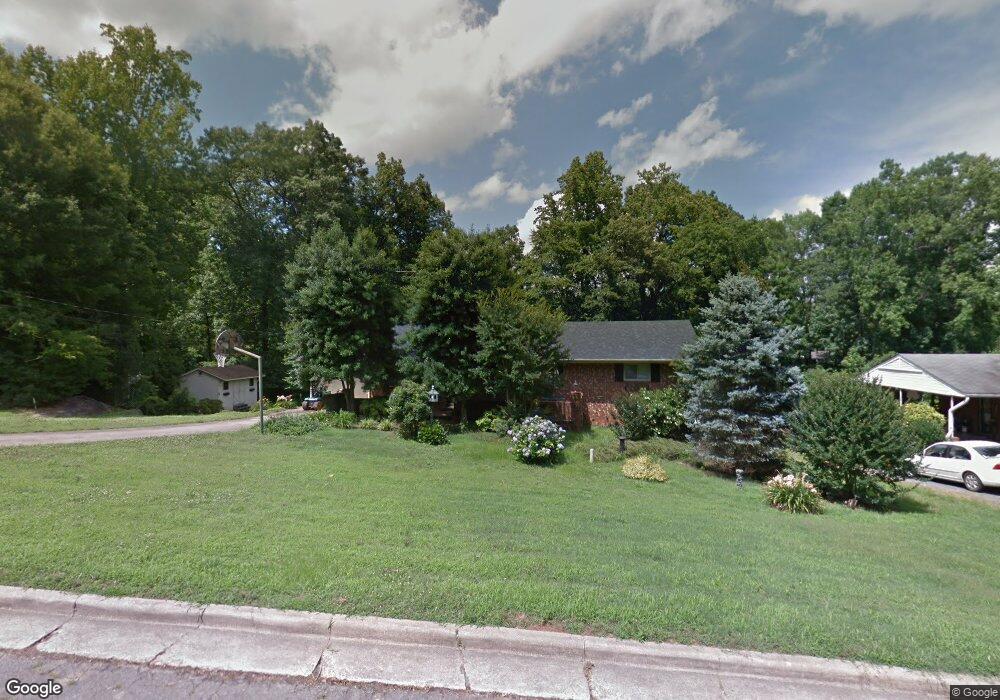
919 Redding Rd Asheboro, NC 27203
Estimated Value: $260,488 - $318,000
Studio
2
Baths
1,758
Sq Ft
$166/Sq Ft
Est. Value
About This Home
This home is located at 919 Redding Rd, Asheboro, NC 27203 and is currently estimated at $291,622, approximately $165 per square foot. 919 Redding Rd is a home located in Randolph County with nearby schools including Lindley Park Elementary School, South Asheboro Middle School, and Asheboro High School.
Ownership History
Date
Name
Owned For
Owner Type
Purchase Details
Closed on
Sep 19, 2016
Sold by
Vuncannon Tony R and Vuncannon Billie S
Bought by
Rodden Ranette V and Vuncannon Susan A
Current Estimated Value
Purchase Details
Closed on
Oct 11, 2012
Sold by
Mckenzie Larry W and Mckenzie Christy B
Bought by
Vuncannon Tony R and Vuncannon Billie S
Home Financials for this Owner
Home Financials are based on the most recent Mortgage that was taken out on this home.
Original Mortgage
$64,000
Interest Rate
3.64%
Mortgage Type
Unknown
Create a Home Valuation Report for This Property
The Home Valuation Report is an in-depth analysis detailing your home's value as well as a comparison with similar homes in the area
Home Values in the Area
Average Home Value in this Area
Purchase History
| Date | Buyer | Sale Price | Title Company |
|---|---|---|---|
| Rodden Ranette V | -- | None Available | |
| Vuncannon Tony R | -- | None Available |
Source: Public Records
Mortgage History
| Date | Status | Borrower | Loan Amount |
|---|---|---|---|
| Closed | Vuncannon Tony R | $64,000 |
Source: Public Records
Tax History
| Year | Tax Paid | Tax Assessment Tax Assessment Total Assessment is a certain percentage of the fair market value that is determined by local assessors to be the total taxable value of land and additions on the property. | Land | Improvement |
|---|---|---|---|---|
| 2025 | $2,804 | $211,550 | $43,540 | $168,010 |
| 2024 | $2,804 | $211,550 | $43,540 | $168,010 |
| 2023 | $2,804 | $211,550 | $43,540 | $168,010 |
| 2022 | $2,166 | $150,270 | $32,950 | $117,320 |
| 2021 | $2,166 | $150,270 | $32,950 | $117,320 |
| 2020 | $2,166 | $150,270 | $32,950 | $117,320 |
| 2019 | $2,166 | $150,270 | $32,950 | $117,320 |
| 2018 | $2,099 | $143,010 | $33,860 | $109,150 |
| 2016 | $2,102 | $143,012 | $33,860 | $109,152 |
| 2015 | $2,106 | $143,012 | $33,860 | $109,152 |
| 2014 | -- | $143,012 | $33,860 | $109,152 |
Source: Public Records
Map
Nearby Homes
- 1025 Parkview St
- 1021 Worth St
- 222 Gardiner Rd
- 830 Cool Springs Rd
- 401 Ridgecrest Rd
- 414 Callicut St
- 0 Salisbury St Unit 1047979
- 1036 Avondale Ave
- 412 Cliff Rd
- 828 Martin Luther King jr Dr
- 321 Loach St
- 1118 Timberlane
- 320 Lindley Ave
- 822 Glenwood Rd
- 1003 Cliff Rd
- 0 U S Highway 64
- 264 Browers Chapel Rd
- 463 Glovinia St
- 512 Glovinia St
- 0000 Browers Chapel Rd
- 925 Redding Rd
- 911 Redding Rd
- 932 Parkview St
- 940 Parkview St
- 933 Redding Rd
- 924 Parkview St
- 924 Redding Rd
- 948 Parkview St
- 910 Redding Rd
- 901 Redding Rd
- 941 Redding Rd
- 912 Parkview St
- 930 Redding Rd
- 902 Redding Rd
- 1006 Parkview St
- 865 Redding Rd
- 935 Parkview St
- 927 Parkview St
- 943 Parkview St
- 940 Redding Rd
Your Personal Tour Guide
Ask me questions while you tour the home.