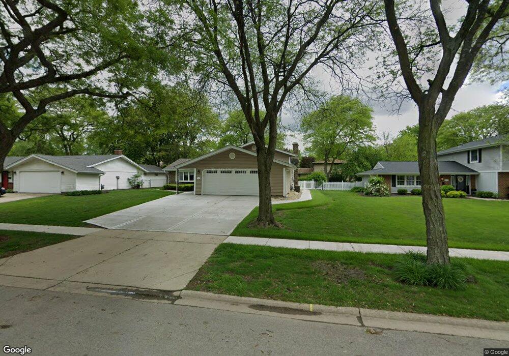
919 Royal Ct Schaumburg, IL 60193
South Schaumburg NeighborhoodEstimated Value: $417,000 - $441,000
3
Beds
2
Baths
1,268
Sq Ft
$335/Sq Ft
Est. Value
About This Home
This home is located at 919 Royal Ct, Schaumburg, IL 60193 and is currently estimated at $425,151, approximately $335 per square foot. 919 Royal Ct is a home located in Cook County with nearby schools including Thomas Dooley Elementary School, Jane Addams Junior High School, and Schaumburg High School.
Ownership History
Date
Name
Owned For
Owner Type
Purchase Details
Closed on
Aug 10, 2000
Sold by
Wolk Robert C and Wolk Karen S
Bought by
Schneidau John F and Schneidau Maureen A
Current Estimated Value
Home Financials for this Owner
Home Financials are based on the most recent Mortgage that was taken out on this home.
Original Mortgage
$213,650
Outstanding Balance
$77,030
Interest Rate
8.14%
Estimated Equity
$348,121
Create a Home Valuation Report for This Property
The Home Valuation Report is an in-depth analysis detailing your home's value as well as a comparison with similar homes in the area
Home Values in the Area
Average Home Value in this Area
Purchase History
| Date | Buyer | Sale Price | Title Company |
|---|---|---|---|
| Schneidau John F | $225,000 | -- |
Source: Public Records
Mortgage History
| Date | Status | Borrower | Loan Amount |
|---|---|---|---|
| Open | Schneidau John F | $213,650 |
Source: Public Records
Tax History Compared to Growth
Tax History
| Year | Tax Paid | Tax Assessment Tax Assessment Total Assessment is a certain percentage of the fair market value that is determined by local assessors to be the total taxable value of land and additions on the property. | Land | Improvement |
|---|---|---|---|---|
| 2024 | $8,315 | $33,000 | $6,411 | $26,589 |
| 2023 | $8,035 | $33,000 | $6,411 | $26,589 |
| 2022 | $8,035 | $33,000 | $6,411 | $26,589 |
| 2021 | $6,158 | $23,649 | $4,350 | $19,299 |
| 2020 | $6,120 | $23,649 | $4,350 | $19,299 |
| 2019 | $6,587 | $28,005 | $4,350 | $23,655 |
| 2018 | $5,484 | $21,707 | $3,892 | $17,815 |
| 2017 | $5,415 | $21,707 | $3,892 | $17,815 |
| 2016 | $6,632 | $26,505 | $3,892 | $22,613 |
| 2015 | $5,614 | $21,389 | $3,434 | $17,955 |
| 2014 | $6,248 | $23,684 | $3,434 | $20,250 |
| 2013 | $6,070 | $23,684 | $3,434 | $20,250 |
Source: Public Records
Map
Nearby Homes
- 305 Williams Dr
- 908 Jeffery Ct
- 220 Kemah Ln
- 1027 Duxbury Ln
- 412 Redwood Ln
- 818 Brentwood Ct
- 516 W Weathersfield Way
- 1125 Charlene Ln
- 988 Chelsea Ln
- 12 Stone Bridge Ct
- 1321 Yarmouth Ct Unit 662
- 712 Dante Ct
- 1008 Shannock Ln
- 11 Stone Bridge Ct
- 1403 Hampton Ln
- 226 Timbercrest Dr
- 315 Ashwood Dr
- 32 Hilltop Dr
- 521 Auburn Ln
- 104 N Braintree Dr
- 917 Royal Ct
- 925 Royal Ct
- 920 W Weathersfield Way
- 916 W Weathersfield Way
- 911 Royal Ct Unit 14
- 416 Marie Ln
- 912 W Weathersfield Way
- 924 W Weathersfield Way
- 929 Royal Ct
- 920 Royal Ct
- 916 Royal Ct
- 924 Royal Ct
- 931 Royal Ct
- 420 Marie Ln
- 400 Marie Ln
- 928 Royal Ct
- 932 W Weathersfield Way
- 334 Marie Ln
- 919 W Weathersfield Way Unit 14
- 1000 W Weathersfield Way