919 S Centerline Rd Unit & 949 White Cloud, MI 49349
Estimated Value: $126,837 - $186,000
2
Beds
1
Bath
912
Sq Ft
$176/Sq Ft
Est. Value
About This Home
This home is located at 919 S Centerline Rd Unit & 949, White Cloud, MI 49349 and is currently estimated at $160,209, approximately $175 per square foot. 919 S Centerline Rd Unit & 949 is a home located in Newaygo County with nearby schools including White Cloud Elementary School, White Cloud Junior High School, and White Cloud High School.
Ownership History
Date
Name
Owned For
Owner Type
Purchase Details
Closed on
Sep 27, 2013
Sold by
Jc Gemini Iii D Llc
Bought by
Cook Pamela Joy
Current Estimated Value
Purchase Details
Closed on
Feb 28, 2012
Sold by
Wells Fargo Bank
Bought by
Federal National Mortgage Association
Purchase Details
Closed on
Feb 14, 2012
Sold by
Reynolds Sarah
Bought by
Wells Fargo Bank
Purchase Details
Closed on
Apr 18, 2005
Sold by
Bank One
Bought by
Reynolds Sarah
Purchase Details
Closed on
Jan 20, 2004
Sold by
Morgan Albert L and Morgan Susan L
Bought by
Bank One Na
Create a Home Valuation Report for This Property
The Home Valuation Report is an in-depth analysis detailing your home's value as well as a comparison with similar homes in the area
Home Values in the Area
Average Home Value in this Area
Purchase History
| Date | Buyer | Sale Price | Title Company |
|---|---|---|---|
| Cook Pamela Joy | $20,500 | Best Homes Title | |
| Federal National Mortgage Association | -- | -- | |
| Wells Fargo Bank | $85,840 | -- | |
| Reynolds Sarah | $49,900 | -- | |
| Bank One Na | $47,825 | -- |
Source: Public Records
Tax History Compared to Growth
Tax History
| Year | Tax Paid | Tax Assessment Tax Assessment Total Assessment is a certain percentage of the fair market value that is determined by local assessors to be the total taxable value of land and additions on the property. | Land | Improvement |
|---|---|---|---|---|
| 2025 | $1,287 | $65,800 | $0 | $0 |
| 2024 | $4 | $63,400 | $0 | $0 |
| 2023 | $416 | $54,500 | $0 | $0 |
| 2022 | $1,180 | $38,200 | $0 | $0 |
| 2021 | $1,148 | $36,200 | $0 | $0 |
| 2020 | $1,137 | $35,600 | $0 | $0 |
| 2019 | $1,099 | $32,800 | $0 | $0 |
| 2018 | $1,162 | $34,600 | $0 | $0 |
| 2017 | $1,136 | $33,800 | $0 | $0 |
| 2016 | $955 | $28,800 | $0 | $0 |
| 2015 | -- | $37,000 | $0 | $0 |
| 2014 | -- | $34,500 | $0 | $0 |
Source: Public Records
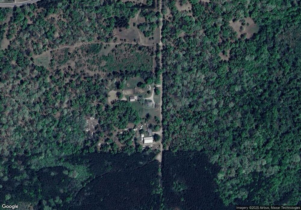
Map
Nearby Homes
- 863 E Wilcox Ave
- 859 E Adda St
- 1099 E Wilcox Ave
- 177 S Benson St
- 276 S Charles St
- 2323 S Evergreen Dr
- 1675 W Willow St
- 872 S Ransom Rd
- 1403 E Swain St
- 895 S Ransom Rd
- 1566 E James St
- 2053 W Parklane
- 1497 E Washington St
- 0 N Centerline Rd Unit 25054462
- 0 N Centerline Rd Unit 25048082
- 1072 N Bingham Ave
- 3260 W Ridge St
- 998 E Monroe St
- 2440 N Mundy Ave
- 0 Ramona Park Ave Unit 24050279