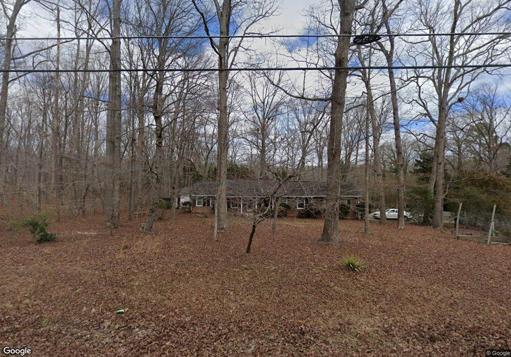
919 Torredge Rd Durham, NC 27712
North Durham NeighborhoodEstimated Value: $329,000 - $370,000
3
Beds
2
Baths
1,615
Sq Ft
$215/Sq Ft
Est. Value
About This Home
This home is located at 919 Torredge Rd, Durham, NC 27712 and is currently estimated at $346,494, approximately $214 per square foot. 919 Torredge Rd is a home located in Durham County with nearby schools including Little River Elementary School, Lucas Middle School, and Northern High School.
Ownership History
Date
Name
Owned For
Owner Type
Purchase Details
Closed on
May 14, 2012
Sold by
Perkinson Leon Burnice and Perkinson Bess R
Bought by
Whitaker Derriek M and Whitaker Virginia
Current Estimated Value
Home Financials for this Owner
Home Financials are based on the most recent Mortgage that was taken out on this home.
Original Mortgage
$120,026
Outstanding Balance
$83,199
Interest Rate
3.91%
Mortgage Type
VA
Estimated Equity
$263,295
Create a Home Valuation Report for This Property
The Home Valuation Report is an in-depth analysis detailing your home's value as well as a comparison with similar homes in the area
Home Values in the Area
Average Home Value in this Area
Purchase History
| Date | Buyer | Sale Price | Title Company |
|---|---|---|---|
| Whitaker Derriek M | $117,500 | None Available |
Source: Public Records
Mortgage History
| Date | Status | Borrower | Loan Amount |
|---|---|---|---|
| Open | Whitaker Derriek M | $120,026 |
Source: Public Records
Tax History
| Year | Tax Paid | Tax Assessment Tax Assessment Total Assessment is a certain percentage of the fair market value that is determined by local assessors to be the total taxable value of land and additions on the property. | Land | Improvement |
|---|---|---|---|---|
| 2025 | $2,348 | $305,747 | $96,000 | $209,747 |
| 2024 | $2,072 | $188,571 | $38,380 | $150,191 |
| 2023 | $1,952 | $188,571 | $38,380 | $150,191 |
| 2022 | $1,859 | $188,571 | $38,380 | $150,191 |
| 2021 | $1,598 | $188,571 | $38,380 | $150,191 |
| 2020 | $1,565 | $188,571 | $38,380 | $150,191 |
| 2019 | $1,565 | $188,571 | $38,380 | $150,191 |
| 2018 | $1,416 | $158,500 | $33,582 | $124,918 |
| 2017 | $1,400 | $158,500 | $33,582 | $124,918 |
| 2016 | $1,341 | $158,500 | $33,582 | $124,918 |
| 2015 | $1,531 | $154,778 | $32,538 | $122,240 |
| 2014 | $1,531 | $154,778 | $32,538 | $122,240 |
Source: Public Records
Map
Nearby Homes
- 726 Torredge Rd
- 1209 Snow Hill Rd
- 1201 Snow Hill Rd
- 5514 Earl Rd
- 711 Valetta Rd
- 904 Snow Hill Rd
- 5525 Glenoaks Dr
- 1318 Torredge Rd
- 605 Snow Hill Rd
- 530 Crievewood Dr
- 829 Sandlewood Dr
- 603 Snow Hill Rd
- 309 Smith Dr
- 6302 Cabin Branch Dr
- 11 Shelburn Ct
- 7 Neptune Ct
- 155 Smith Dr
- 1924 Snow Hill Rd
- 105 Wright Hill Dr
- 145 Lin Tilley Rd
- 5713 Paragon Cir
- 5702 Paragon Cir
- 5710 Paragon Cir
- 920 Torredge Rd
- 920 Torredge Rd
- 5719 Paragon Cir
- 907 Torredge Rd
- 912 Torredge Rd
- 1002 Torredge Rd
- 916 Torredge Rd
- 1010 Valetta Rd
- 908 Torredge Rd
- 5718 Paragon Cir
- 1004 Torredge Rd
- 5906 Paragon Cir
- 904 Torredge Rd
- 5641 Paragon Cir
- 5803 Paragon Cir
- 39 Eagle Dr
- 5638 Paragon Cir
Your Personal Tour Guide
Ask me questions while you tour the home.