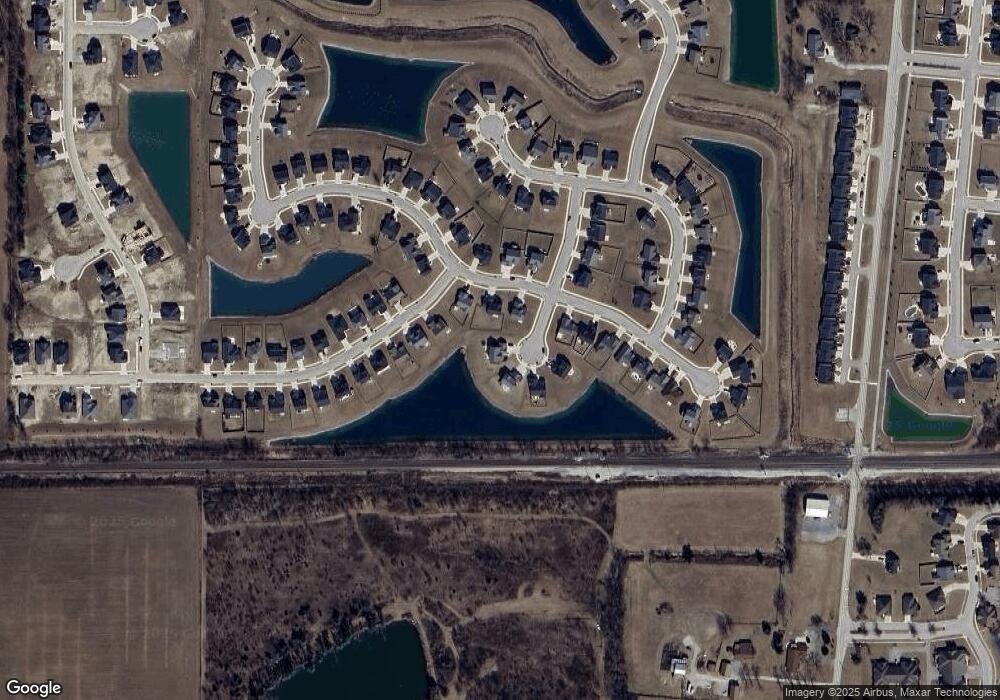
919 Townsend Run Fort Wayne, IN 46818
Aboite NeighborhoodEstimated Value: $329,000 - $435,000
5
Beds
3
Baths
1,932
Sq Ft
$192/Sq Ft
Est. Value
About This Home
This home is located at 919 Townsend Run, Fort Wayne, IN 46818 and is currently estimated at $370,979, approximately $192 per square foot. 919 Townsend Run is a home with nearby schools including Covington Elementary School, Woodside Middle School, and Homestead Senior High School.
Ownership History
Date
Name
Owned For
Owner Type
Purchase Details
Closed on
Dec 20, 2018
Sold by
Lancia Homes Inc
Bought by
Howell Rachel E and Howell Chris M
Current Estimated Value
Home Financials for this Owner
Home Financials are based on the most recent Mortgage that was taken out on this home.
Original Mortgage
$258,334
Outstanding Balance
$230,676
Interest Rate
5.5%
Mortgage Type
FHA
Estimated Equity
$140,303
Purchase Details
Closed on
Feb 20, 2018
Sold by
Oakmont Development Co Llc
Bought by
Springmll Woods Development Llc
Create a Home Valuation Report for This Property
The Home Valuation Report is an in-depth analysis detailing your home's value as well as a comparison with similar homes in the area
Home Values in the Area
Average Home Value in this Area
Purchase History
| Date | Buyer | Sale Price | Title Company |
|---|---|---|---|
| Howell Rachel E | -- | None Available | |
| Lancia Homes Inc | -- | Metropolitan Title Of Indian | |
| Springmll Woods Development Llc | $187,140 | Renaissance Title |
Source: Public Records
Mortgage History
| Date | Status | Borrower | Loan Amount |
|---|---|---|---|
| Open | Howell Rachel E | $258,334 |
Source: Public Records
Tax History Compared to Growth
Tax History
| Year | Tax Paid | Tax Assessment Tax Assessment Total Assessment is a certain percentage of the fair market value that is determined by local assessors to be the total taxable value of land and additions on the property. | Land | Improvement |
|---|---|---|---|---|
| 2024 | $2,712 | $378,800 | $78,000 | $300,800 |
| 2023 | $2,662 | $354,700 | $78,000 | $276,700 |
| 2022 | $2,250 | $314,600 | $78,000 | $236,600 |
| 2021 | $2,172 | $294,000 | $78,000 | $216,000 |
| 2020 | $2,206 | $288,400 | $78,000 | $210,400 |
| 2019 | $2,181 | $277,500 | $78,000 | $199,500 |
| 2018 | $0 | $900 | $900 | $0 |
Source: Public Records
Map
Nearby Homes
- 12921 Slash Pass
- 12671 Slash Pass
- 967 Mayrock Dr
- 13119 Halen Hill Ct
- 940 Mayrock Dr
- 13071 Slash Pass
- 1350 Talullah Trail
- 1010 Arthur Heights Dr
- 1262 Hendrix Run
- 1106 Arthur Heights Dr
- 13315 Halen Hill Ct
- 1261 W Hamilton Rd N
- 1303 N West Hamilton Rd
- 12610 Page Hill Ct
- 13038 Silk Tree Trail
- 1467 Arthur Heights Dr
- 13035 Silk Tree Trail
- 13079 Silk Tree Trail
- 1518 Lavante Cove
- 13206 Fringe Tree Trail
- 901 Townsend Run
- 12853 Slash Pass
- 902 Townsend Run
- 12819 Slash Pass
- 12877 Slash Pass
- 12985 Halen Hill Ct
- 13011 Halen Hill Ct
- 12763 Slash Pass
- 912 Townsend Run
- 13023 Halen Hill Ct
- 12840 Slash Pass
- 12818 Slash Pass
- 12743 Slash Pass
- 13049 Halen Hill Ct
- 12711 Slash Pass
- 13002 Halen Hill Ct
- 13016 Halen Hill Ct
- 1010 Townsend Run
- 12928 Slash Pass
- 13065 Halen Hill Ct
