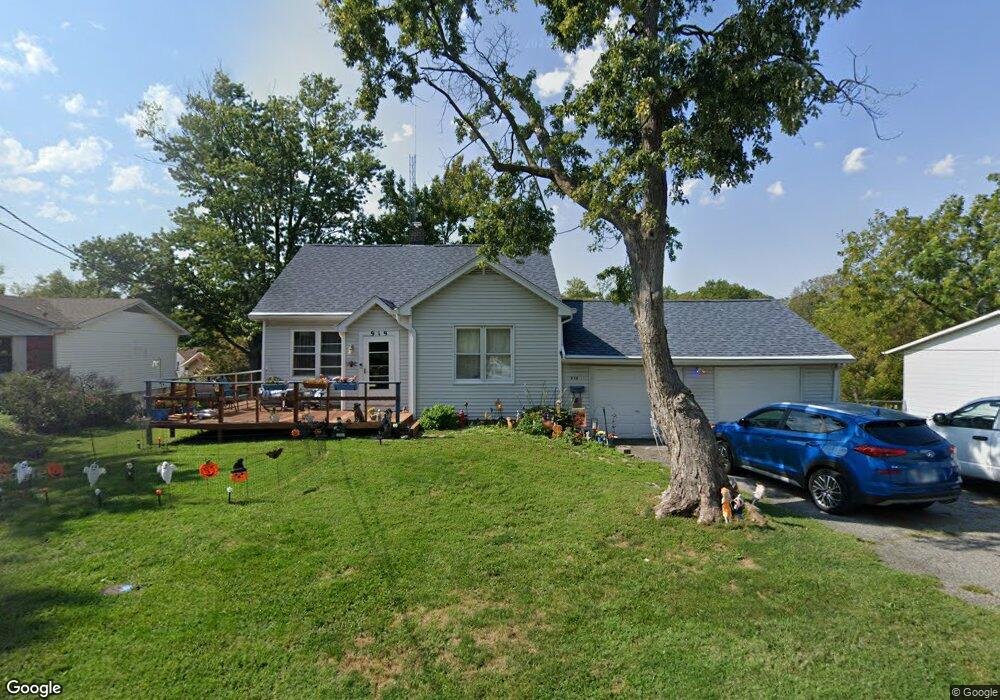
919 Vivian St Collinsville, IL 62234
Estimated Value: $147,000 - $175,000
2
Beds
2
Baths
1,268
Sq Ft
$129/Sq Ft
Est. Value
About This Home
This home is located at 919 Vivian St, Collinsville, IL 62234 and is currently estimated at $163,759, approximately $129 per square foot. 919 Vivian St is a home located in Madison County with nearby schools including Summit Elementary School, Dorris Intermediate School, and Collinsville Middle School.
Ownership History
Date
Name
Owned For
Owner Type
Purchase Details
Closed on
Aug 20, 2020
Sold by
Dickey Nancy
Bought by
Dickey Matthew A and Dickey Megan M
Current Estimated Value
Purchase Details
Closed on
Jun 20, 2013
Sold by
The Bank Of New York Mellon
Bought by
Dickey Nancy
Purchase Details
Closed on
Feb 28, 2013
Sold by
Bronnbauer Shannin D
Bought by
Bank Of New York Mellon
Purchase Details
Closed on
Dec 30, 2008
Sold by
Bronnbauer Kurt
Bought by
Bronnbauer Shannon D
Create a Home Valuation Report for This Property
The Home Valuation Report is an in-depth analysis detailing your home's value as well as a comparison with similar homes in the area
Home Values in the Area
Average Home Value in this Area
Purchase History
| Date | Buyer | Sale Price | Title Company |
|---|---|---|---|
| Dickey Matthew A | -- | None Available | |
| Dickey Nancy | $42,500 | None Available | |
| Bank Of New York Mellon | -- | None Available | |
| Bronnbauer Shannon D | -- | None Available |
Source: Public Records
Tax History Compared to Growth
Tax History
| Year | Tax Paid | Tax Assessment Tax Assessment Total Assessment is a certain percentage of the fair market value that is determined by local assessors to be the total taxable value of land and additions on the property. | Land | Improvement |
|---|---|---|---|---|
| 2024 | $2,877 | $51,010 | $7,200 | $43,810 |
| 2023 | $2,877 | $47,210 | $6,660 | $40,550 |
| 2022 | $2,712 | $42,470 | $5,960 | $36,510 |
| 2021 | $2,342 | $39,900 | $5,600 | $34,300 |
| 2020 | $2,239 | $38,070 | $5,340 | $32,730 |
| 2019 | $2,165 | $36,770 | $5,160 | $31,610 |
| 2018 | $1,674 | $28,930 | $4,870 | $24,060 |
| 2017 | $1,667 | $28,350 | $4,770 | $23,580 |
| 2016 | $1,747 | $28,350 | $4,770 | $23,580 |
| 2015 | $1,722 | $27,620 | $4,650 | $22,970 |
| 2014 | $1,722 | $13,680 | $4,650 | $9,030 |
| 2013 | $1,722 | $13,680 | $4,650 | $9,030 |
Source: Public Records
Map
Nearby Homes
- 123 Elliot St
- 510 N Combs Ave
- 100 Debbie Dr
- 1121 Carraway Ct
- 100 Dewey Dr
- 1109 Carlace Dr
- 1302 Waverly Dr
- 580 N Guernsey St
- 0 Strong Ave
- 300 N Combs Ave
- 0 Elm St
- 1051 Lafayette Ct Unit A
- 221 N Hesperia St Unit 221 A and 221 B
- 5 Brookwood Dr
- 123 W Wickliffe Ave
- 419 Bell St
- 108 Westridge Dr
- 621 W Clay St
- 117 W Wickliffe Ave
- 1001 Virginia St