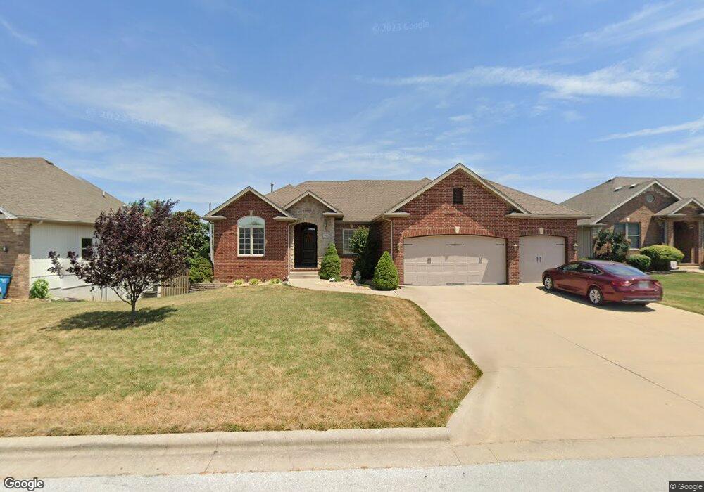
919 W Stanton Dr Republic, MO 65738
Estimated Value: $358,876 - $384,000
3
Beds
2
Baths
2,836
Sq Ft
$130/Sq Ft
Est. Value
About This Home
This home is located at 919 W Stanton Dr, Republic, MO 65738 and is currently estimated at $369,969, approximately $130 per square foot. 919 W Stanton Dr is a home located in Greene County with nearby schools including Lyon Elementary School, Republic Middle School, and Republic High School.
Ownership History
Date
Name
Owned For
Owner Type
Purchase Details
Closed on
Jan 15, 2010
Sold by
Boyd Mark D and Boyd Sherri L
Bought by
Gipson Brian and Gipson Samantha
Current Estimated Value
Home Financials for this Owner
Home Financials are based on the most recent Mortgage that was taken out on this home.
Original Mortgage
$132,400
Outstanding Balance
$86,086
Interest Rate
4.76%
Mortgage Type
New Conventional
Estimated Equity
$283,883
Purchase Details
Closed on
Apr 21, 2006
Sold by
Corner Kevin L and Corner Kerri K
Bought by
Boyd Mark D and Boyd Sherri L
Home Financials for this Owner
Home Financials are based on the most recent Mortgage that was taken out on this home.
Original Mortgage
$154,000
Interest Rate
6.32%
Mortgage Type
New Conventional
Create a Home Valuation Report for This Property
The Home Valuation Report is an in-depth analysis detailing your home's value as well as a comparison with similar homes in the area
Home Values in the Area
Average Home Value in this Area
Purchase History
| Date | Buyer | Sale Price | Title Company |
|---|---|---|---|
| Gipson Brian | -- | None Available | |
| Boyd Mark D | -- | Lincoln-Evans Land Title Com |
Source: Public Records
Mortgage History
| Date | Status | Borrower | Loan Amount |
|---|---|---|---|
| Open | Gipson Brian | $132,400 | |
| Previous Owner | Boyd Mark D | $154,000 |
Source: Public Records
Tax History Compared to Growth
Tax History
| Year | Tax Paid | Tax Assessment Tax Assessment Total Assessment is a certain percentage of the fair market value that is determined by local assessors to be the total taxable value of land and additions on the property. | Land | Improvement |
|---|---|---|---|---|
| 2025 | $2,613 | $52,610 | $6,650 | $45,960 |
| 2024 | $2,613 | $46,780 | $5,700 | $41,080 |
| 2023 | $2,563 | $46,780 | $5,700 | $41,080 |
| 2022 | $2,269 | $41,210 | $5,700 | $35,510 |
| 2021 | $2,255 | $41,210 | $5,700 | $35,510 |
| 2020 | $2,160 | $38,860 | $5,700 | $33,160 |
| 2019 | $2,153 | $38,860 | $5,700 | $33,160 |
| 2018 | $2,061 | $35,950 | $5,700 | $30,250 |
| 2017 | $2,044 | $33,930 | $5,700 | $28,230 |
| 2016 | $1,951 | $33,930 | $5,700 | $28,230 |
| 2015 | $1,944 | $33,930 | $5,700 | $28,230 |
| 2014 | $1,893 | $32,760 | $5,700 | $27,060 |
Source: Public Records
Map
Nearby Homes
- 573 S Charlotte Ct
- 552 S Michelle Ave
- 1021 W Crestview Ln
- 000 W Crestview Ln
- 1135 W Broad St
- 401 Ethan Ave
- 2450 Highway 60
- .94+/- Ac Highway 60
- 530 Ashley St
- 0 Highway 60 Unit 60308100
- 0 Highway 60 Unit 60308095
- 135 N Bonnie Ave
- 5751 S Farm Road 67
- 347 W Elm St
- 207 W Broad St
- 1205 S Kristopher Ave
- 473 W Melody Ln
- 113 W Jewell Dr
- 975 S Montpelier Ct
- 730 W Apache St
- 903 W Stanton Dr
- 931 W Stanton Dr
- 0 W Stanton Dr Unit 11103790
- 0 W Stanton Dr Unit 11110522
- 0 W Stanton Dr
- 936 W Broad St
- 920 W Broad St
- 945 W Stanton Dr
- 887 W Stanton Dr
- 481 S Ashton Ave
- 954 W Broad St
- 480 S Ashton Ave
- 898 W Stanton Dr
- 896 W Broad St
- 979 W Stanton Dr
- 972 W Broad St
- 871 W Stanton Dr
- 954 W Stanton Dr
- 503 S Ashton Ave
- 872 W Stanton Dr