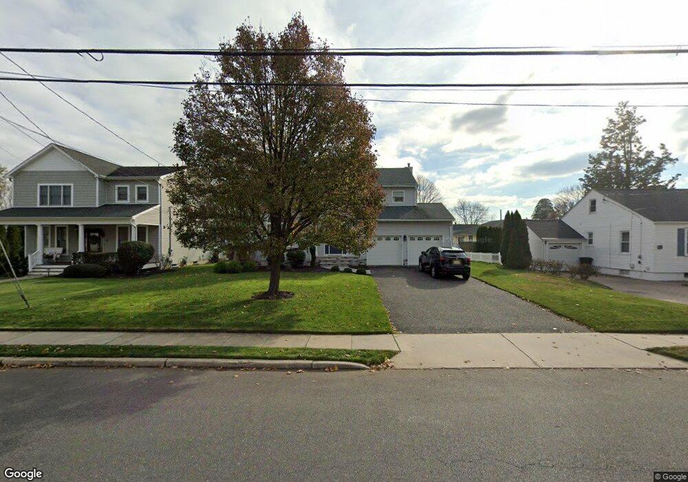
919 Wall Rd Spring Lake, NJ 07762
Estimated Value: $1,211,000 - $1,454,000
3
Beds
2
Baths
2,241
Sq Ft
$583/Sq Ft
Est. Value
About This Home
This home is located at 919 Wall Rd, Spring Lake, NJ 07762 and is currently estimated at $1,306,942, approximately $583 per square foot. 919 Wall Rd is a home located in Monmouth County with nearby schools including Spring Lake Heights Elementary School and The Brookside School.
Ownership History
Date
Name
Owned For
Owner Type
Purchase Details
Closed on
Aug 23, 1995
Sold by
B&T Quality Bldrs
Bought by
Kirk Richard and Kirk Cynthia
Current Estimated Value
Home Financials for this Owner
Home Financials are based on the most recent Mortgage that was taken out on this home.
Original Mortgage
$162,000
Interest Rate
7.32%
Purchase Details
Closed on
Nov 14, 1994
Sold by
Newman Pat
Bought by
B & T Quality Builders
Create a Home Valuation Report for This Property
The Home Valuation Report is an in-depth analysis detailing your home's value as well as a comparison with similar homes in the area
Home Values in the Area
Average Home Value in this Area
Purchase History
| Date | Buyer | Sale Price | Title Company |
|---|---|---|---|
| Kirk Richard | $188,400 | -- | |
| B & T Quality Builders | $70,000 | -- |
Source: Public Records
Mortgage History
| Date | Status | Borrower | Loan Amount |
|---|---|---|---|
| Closed | Kirk Richard | $162,000 |
Source: Public Records
Tax History Compared to Growth
Tax History
| Year | Tax Paid | Tax Assessment Tax Assessment Total Assessment is a certain percentage of the fair market value that is determined by local assessors to be the total taxable value of land and additions on the property. | Land | Improvement |
|---|---|---|---|---|
| 2025 | $9,611 | $997,400 | $567,800 | $429,600 |
| 2024 | $8,779 | $912,700 | $491,000 | $421,700 |
| 2023 | $8,779 | $783,800 | $382,500 | $401,300 |
| 2022 | $9,366 | $744,400 | $332,500 | $411,900 |
| 2021 | $9,366 | $693,800 | $289,800 | $404,000 |
| 2020 | $8,915 | $656,500 | $289,800 | $366,700 |
| 2019 | $8,864 | $646,100 | $289,800 | $356,300 |
| 2018 | $8,731 | $619,200 | $289,800 | $329,400 |
| 2017 | $8,365 | $615,100 | $289,800 | $325,300 |
| 2016 | $8,303 | $603,000 | $289,800 | $313,200 |
| 2015 | $8,222 | $598,800 | $289,800 | $309,000 |
| 2014 | $8,426 | $627,400 | $289,800 | $337,600 |
Source: Public Records
Map
Nearby Homes
- 905 Wall Rd
- 2419 Kipling Ave
- 1838 Highway 35 Unit 36
- 24 Old Mill Ct
- 12 Wyckham Rd
- 15 Wyckham Rd
- 19 Willow Ln
- 2217 Old Mill Rd
- 1820 New Jersey 35 Unit 34
- 1820 New Jersey 35 Unit Home Site 26
- 1027 2nd Ave
- 1211 18th Ave
- 613 Warren Ave
- 1301 Warren Ave Unit 5
- 2005 Nassau Dr
- 1704 Grove St
- 513 Mercer Ave
- 1905 3rd Ave
- 530 Highway 71 Unit 4
- 1014 Glenn St