9190 W Highway 326 Ocala, FL 34482
Fellowship NeighborhoodEstimated Value: $194,000
5
Beds
3
Baths
3,112
Sq Ft
$62/Sq Ft
Est. Value
About This Home
This home is located at 9190 W Highway 326, Ocala, FL 34482 and is currently estimated at $194,000, approximately $62 per square foot. 9190 W Highway 326 is a home located in Marion County with nearby schools including Fessenden Elementary School, North Marion Middle School, and West Port High School.
Ownership History
Date
Name
Owned For
Owner Type
Purchase Details
Closed on
May 4, 2010
Sold by
Greene Sue
Bought by
Ferro Henry and Ferro Alia F
Current Estimated Value
Purchase Details
Closed on
Apr 13, 2005
Sold by
Ferro Henry and Ferro Alia
Bought by
Greene Sue
Home Financials for this Owner
Home Financials are based on the most recent Mortgage that was taken out on this home.
Original Mortgage
$700,000
Interest Rate
7%
Mortgage Type
Seller Take Back
Purchase Details
Closed on
Oct 8, 2002
Sold by
Union Oil Company Of California
Bought by
Vannood Leendert
Create a Home Valuation Report for This Property
The Home Valuation Report is an in-depth analysis detailing your home's value as well as a comparison with similar homes in the area
Home Values in the Area
Average Home Value in this Area
Purchase History
| Date | Buyer | Sale Price | Title Company |
|---|---|---|---|
| Ferro Henry | -- | None Available | |
| Greene Sue | $1,000,000 | Affiliated Title Of Marion C | |
| Vannood Leendert | -- | -- |
Source: Public Records
Mortgage History
| Date | Status | Borrower | Loan Amount |
|---|---|---|---|
| Previous Owner | Greene Sue | $700,000 |
Source: Public Records
Tax History Compared to Growth
Tax History
| Year | Tax Paid | Tax Assessment Tax Assessment Total Assessment is a certain percentage of the fair market value that is determined by local assessors to be the total taxable value of land and additions on the property. | Land | Improvement |
|---|---|---|---|---|
| 2024 | $3,735 | $241,132 | -- | -- |
| 2023 | $3,655 | $234,327 | $0 | $0 |
| 2022 | $3,512 | $224,166 | $0 | $0 |
| 2021 | $3,523 | $218,340 | $0 | $0 |
| 2020 | $3,507 | $215,903 | $0 | $0 |
| 2019 | $3,476 | $0 | $0 | $0 |
| 2018 | $3,282 | $206,741 | $0 | $0 |
| 2015 | $1,478 | $91,025 | $0 | $0 |
| 2014 | $1,886 | $94,381 | $0 | $0 |
Source: Public Records
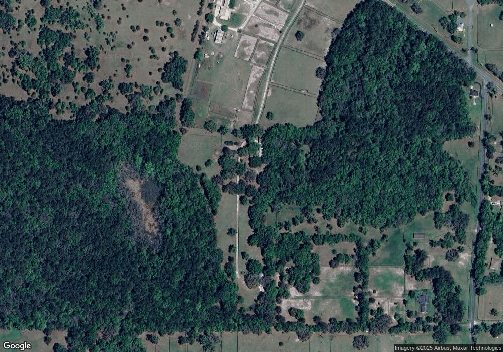
Map
Nearby Homes
- TBD NW 110th Ave
- 0 NW 55th Ave Unit MFROM707928
- TBD NW 52 Ct
- 0 NW 55th Ave Unit MFROM703675
- 0 NW 55th Ave Unit MFROM703669
- 0 N Highway 27 Unit A11795562
- 0 NW 55th Ave Unit MFROM697172
- 0 W Highway 326 Unit MFROM696552
- 9675 NW 63rd St
- 9327 NW 63rd St
- 7940 W Highway 326
- 5430 NW 90th Ave
- 9500 NW 95th St
- 4520 NW 95th St
- 11130 W Highway 326
- 0 Us Highway 27
- 5714 NW 80th Avenue Rd
- 11105 N Us Highway 27
- 0 NE 205th Ave Unit 785385
- 10695 NW Highway 464b
- 7802 NW 90th Ave
- 7744 NW 90th Ave
- 9440 W Highway 326
- 8110 NW 90th Ave
- 7925 NW 90th Ave
- 7570 NW 90th Ave
- 7801 NW 90th Ave
- 8798 W Hwy 326
- 7747 NW 90th Ave
- 7536 NW 90th Ave
- 9536 W Highway 326
- 7575 NW 90th Ave
- 8797 W Highway 326
- 7335 NW 90th Ave
- 7455 NW Highway 225
- 7395 NW Highway 225
- 7897 NW Highway 225
- 8423 NW 97th Terrace
- 0 NW Hwy 225a Unit MFROM521839
- 0 NW Hwy 225a Unit 279379