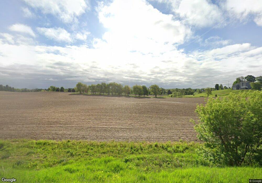
9190 Wilson Ave SW Byron Center, MI 49315
Estimated Value: $691,000 - $1,184,653
3
Beds
2
Baths
2,244
Sq Ft
$390/Sq Ft
Est. Value
About This Home
This home is located at 9190 Wilson Ave SW, Byron Center, MI 49315 and is currently estimated at $876,218, approximately $390 per square foot. 9190 Wilson Ave SW is a home located in Kent County with nearby schools including Brown Elementary School, Robert L. Nickels Intermediate School, and Byron Center West Middle School.
Ownership History
Date
Name
Owned For
Owner Type
Purchase Details
Closed on
Dec 30, 2016
Sold by
Lucas Steve and Lucas Patsy
Bought by
Lucas Steve and Lucas Patsy
Current Estimated Value
Purchase Details
Closed on
Aug 16, 2016
Sold by
Lucas Steve
Bought by
Paslye Stephen E and Paslye Platy K
Purchase Details
Closed on
Jun 12, 2012
Sold by
Lucas Steve and Lucas Patsy
Bought by
Lucas Stephen E and Lucas Patsy K
Purchase Details
Closed on
Jan 21, 2011
Sold by
Lucas Steve and Lucas Patsy
Bought by
Lucas Steve and Lucas Patsy
Create a Home Valuation Report for This Property
The Home Valuation Report is an in-depth analysis detailing your home's value as well as a comparison with similar homes in the area
Home Values in the Area
Average Home Value in this Area
Purchase History
| Date | Buyer | Sale Price | Title Company |
|---|---|---|---|
| Lucas Steve | -- | None Available | |
| Paslye Stephen E | -- | None Available | |
| Lucas Steve | -- | None Available | |
| Lucas Stephen E | -- | None Available | |
| Lucas Steve | -- | None Available |
Source: Public Records
Tax History Compared to Growth
Tax History
| Year | Tax Paid | Tax Assessment Tax Assessment Total Assessment is a certain percentage of the fair market value that is determined by local assessors to be the total taxable value of land and additions on the property. | Land | Improvement |
|---|---|---|---|---|
| 2025 | $6,175 | $571,300 | $0 | $0 |
| 2024 | $6,175 | $516,200 | $0 | $0 |
| 2023 | $5,735 | $448,100 | $0 | $0 |
| 2022 | $7,878 | $404,900 | $0 | $0 |
| 2021 | $7,668 | $379,900 | $0 | $0 |
| 2020 | $5,279 | $316,900 | $0 | $0 |
| 2019 | $7,483 | $298,900 | $0 | $0 |
| 2018 | $7,330 | $278,100 | $112,200 | $165,900 |
| 2017 | $7,131 | $255,800 | $0 | $0 |
| 2016 | $6,872 | $247,600 | $0 | $0 |
| 2015 | $6,753 | $247,600 | $0 | $0 |
| 2013 | -- | $220,300 | $0 | $0 |
Source: Public Records
Map
Nearby Homes
- 3410 92nd St SW
- 3370 92nd St SW
- 9277 Ivanrest Ave SW
- 8441 Homerich Ave SW
- 3152 84th St SW
- V/L Ivanrest Ave SW
- 3563 Conrail Dr
- 8549 Eldora Dr SW
- 8047 Erie Dr
- 8564 Elkwood Dr SW
- Redwood Plan at Railside - Woodland Series
- Sycamore Plan at Railside - Woodland Series
- Bay Harbor Plan at Railside - Landmark Series
- Northport Plan at Railside - Landmark Series
- Pentwater Plan at Railside - Landmark Series
- Oakwood Plan at Railside - Woodland Series
- 8115 Byron Depot Dr SW
- 8541 Woodhaven Dr SW
- 7998 Byron Depot Dr SW
- 2599 Ridge Top Dr SW
- 4013 92nd St SW
- 9230 Wilson Ave SW
- 4033 92nd St SW
- 3909 92nd St SW
- 3998 92nd St SW
- 9254 Wilson Ave SW
- 3993 92nd St SW
- 4045 92nd St SW
- 9292 Wilson Ave SW
- 9028 Wilson Ave SW
- 3994 92nd St SW
- 4071 92nd St SW
- 9303 Wilson Ave SW
- 3839 92nd St SW
- 4075 92nd St SW
- 9350 Wilson Ave SW
- 9057 Wilson Ave SW
- 9000 Wilson Ave SW
- 3808 92nd St SW
- 9015 Wilson Ave SW
