9192 Preston Rd Denison, TX 75020
Estimated Value: $1,732,000 - $2,218,761
5
Beds
6
Baths
5,490
Sq Ft
$360/Sq Ft
Est. Value
About This Home
This home is located at 9192 Preston Rd, Denison, TX 75020 and is currently estimated at $1,975,381, approximately $359 per square foot. 9192 Preston Rd is a home located in Grayson County with nearby schools including Mayes Elementary School, Scott Middle School, and Denison High School.
Ownership History
Date
Name
Owned For
Owner Type
Purchase Details
Closed on
Aug 1, 2024
Sold by
Pocza Zoltan M and Pocza Melissa
Bought by
Zoltan M Pocza Jr Living Trust and Pocza
Current Estimated Value
Purchase Details
Closed on
May 15, 2020
Sold by
Farinelli George David and Farinelli Norma Jean
Bought by
Pocza Zoltan M and Pocza Melissa L
Home Financials for this Owner
Home Financials are based on the most recent Mortgage that was taken out on this home.
Original Mortgage
$1,270,800
Interest Rate
4.25%
Mortgage Type
Commercial
Create a Home Valuation Report for This Property
The Home Valuation Report is an in-depth analysis detailing your home's value as well as a comparison with similar homes in the area
Home Values in the Area
Average Home Value in this Area
Purchase History
| Date | Buyer | Sale Price | Title Company |
|---|---|---|---|
| Zoltan M Pocza Jr Living Trust | -- | None Listed On Document | |
| Pocza Zoltan M | -- | Red River Title Co |
Source: Public Records
Mortgage History
| Date | Status | Borrower | Loan Amount |
|---|---|---|---|
| Previous Owner | Pocza Zoltan M | $1,270,800 |
Source: Public Records
Tax History
| Year | Tax Paid | Tax Assessment Tax Assessment Total Assessment is a certain percentage of the fair market value that is determined by local assessors to be the total taxable value of land and additions on the property. | Land | Improvement |
|---|---|---|---|---|
| 2025 | $28,050 | $2,081,221 | -- | -- |
| 2024 | $30,486 | $1,892,019 | $0 | $0 |
| 2023 | $25,339 | $1,720,017 | $0 | $0 |
| 2022 | $26,956 | $1,563,652 | $0 | $0 |
| 2021 | $26,583 | $1,421,502 | $489,396 | $932,106 |
| 2020 | $25,806 | $1,299,552 | $392,817 | $906,735 |
| 2019 | $27,267 | $1,287,199 | $392,817 | $894,382 |
| 2018 | $26,336 | $1,271,876 | $392,817 | $879,059 |
| 2017 | $24,092 | $1,147,903 | $314,445 | $833,458 |
| 2016 | $21,902 | $1,044,515 | $314,445 | $730,070 |
Source: Public Records
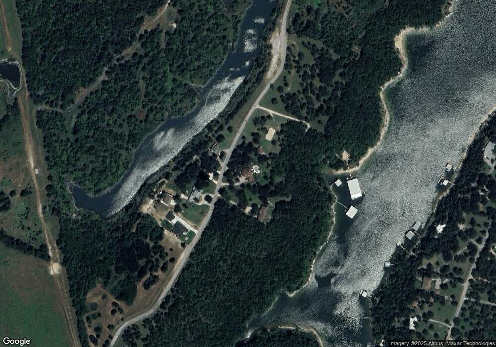
Map
Nearby Homes
- 101 Diamond Pointe Loop Unit 5N
- Lot 80 Rocky Point E Bois d Arc Rd
- 37 Hanna Cove Dr
- 82 Sweet Gum St
- 514 Hanna Dr
- 2 Harbor View Cir
- Lot 4 Mariner Cay ES Hanna Dr
- 920 Hanna Dr
- 7634 Preston Rd
- 190 Neva Ln
- Lot 1A-1 Thompson Heights Dr
- Lot 2A-1 Thompson Heights Dr
- Lot 1A-2 Thompson Heights Dr
- 5.63 acres Thompson Heights Dr
- 000 Eisenhower Rd
- 594 Lukehaven Dr
- 193 Eisenhower Rd
- 483 Maple Dr
- 221 Clayton Dr
- 287 Pecan Dr
- 9164 Preston Rd
- 9205 Preston Rd
- 9175 Preston Rd
- 9151 Preston Rd
- 9121 Preston Rd
- 9095 Preston Rd
- 1427 Elmridge Rd
- 1361 Elmridge Rd
- 1321 Elm Ridge Rd
- 1317 Elm Ridge Rd
- 1297 Elm Ridge Rd
- 1429 Elmridge Rd
- 1485 Elmridge Rd
- 1297 Elm Ridge
- 1547 Elmridge Rd
- 1269 Elmridge Rd
- 1388 Elmridge Rd
- 1253 Elmridge Rd
- 1282 Elm Ridge Rd
- 1282 Elmridge Rd