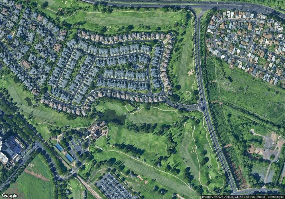
92-1017 Koio Dr Unit S-24 Kapolei, HI 96707
Estimated Value: $2,185,927 - $2,577,000
3
Beds
3
Baths
2,124
Sq Ft
$1,102/Sq Ft
Est. Value
About This Home
This home is located at 92-1017 Koio Dr Unit S-24, Kapolei, HI 96707 and is currently estimated at $2,340,732, approximately $1,102 per square foot. 92-1017 Koio Dr Unit S-24 is a home located in Honolulu County with nearby schools including Barbers Point Elementary School, Kapolei Middle School, and Kapolei High School.
Ownership History
Date
Name
Owned For
Owner Type
Purchase Details
Closed on
Mar 7, 2023
Sold by
Kuema Hawaii Investments Llc
Bought by
Snickers Trust
Current Estimated Value
Purchase Details
Closed on
Aug 13, 2019
Sold by
Stone Jeffrey Ralph
Bought by
Kuema Hawaii Investments Llc
Purchase Details
Closed on
Mar 7, 2019
Sold by
Stone Sean Jeffrey and Stone Lichelle Yoshimi
Bought by
Sl Home Trust Llc
Purchase Details
Closed on
Mar 8, 2016
Sold by
Kaneshiro Lynne
Bought by
Stone Jeffrey Ralph and Stone Sean Jeffrey
Purchase Details
Closed on
Jun 8, 2005
Sold by
Hawaii Land Development Corp
Bought by
Kaneshiro Lynne and Lynne Kaneshiro Revocable Living Trust
Purchase Details
Closed on
Jun 7, 2005
Sold by
Centex Homes
Bought by
Hawaii Land Development Corp
Create a Home Valuation Report for This Property
The Home Valuation Report is an in-depth analysis detailing your home's value as well as a comparison with similar homes in the area
Home Values in the Area
Average Home Value in this Area
Purchase History
| Date | Buyer | Sale Price | Title Company |
|---|---|---|---|
| Snickers Trust | -- | Fidelity National Title | |
| Kuema Hawaii Investments Llc | $1,600,000 | Fntic | |
| Kuema Hawaii Investments Llc | $1,600,000 | Fntic | |
| Sl Home Trust Llc | $815,050 | Tg | |
| Stone Jeffrey Ralph | -- | Premier Title | |
| Stone Jeffrey Ralph | -- | Premier Title | |
| Kaneshiro Lynne | $1,337,200 | Island Title Corporation | |
| Hawaii Land Development Corp | $1,337,200 | Itc |
Source: Public Records
Tax History Compared to Growth
Tax History
| Year | Tax Paid | Tax Assessment Tax Assessment Total Assessment is a certain percentage of the fair market value that is determined by local assessors to be the total taxable value of land and additions on the property. | Land | Improvement |
|---|---|---|---|---|
| 2025 | $16,464 | $2,169,400 | $1,641,800 | $527,600 |
| 2024 | $16,464 | $2,093,300 | $1,324,100 | $769,200 |
| 2023 | $15,576 | $2,015,400 | $1,324,100 | $691,300 |
| 2022 | $12,999 | $1,809,400 | $1,191,700 | $617,700 |
| 2021 | $10,004 | $1,524,200 | $979,800 | $544,400 |
| 2020 | $11,777 | $1,693,000 | $1,151,700 | $541,300 |
| 2019 | $4,545 | $1,630,100 | $1,095,400 | $534,700 |
| 2018 | $4,545 | $1,378,500 | $890,600 | $487,900 |
| 2017 | $4,243 | $1,292,400 | $721,700 | $570,700 |
| 2016 | $7,285 | $1,214,100 | $706,400 | $507,700 |
| 2015 | $7,130 | $1,188,400 | $663,000 | $525,400 |
| 2014 | $2,817 | $1,079,500 | $489,600 | $589,900 |
Source: Public Records
Map
Nearby Homes
- 92-1015 Koio Dr Unit S-57
- 92-1015 Koio Dr Unit S-58
- 92-1015 Koio Dr Unit S-52
- 92-1057 Koio Dr Unit F
- 92-1087 Koio Dr Unit M29-3 (Apt C)
- 92-1081 Koio Dr Unit M265
- 92-1081 Koio Dr Unit M261
- 92-1051 Koio Dr Unit M83
- 92-1027 Koio Dr Unit B (M10-2)
- 92-1033 Koio Dr Unit M156
- 92-1067 Koio Dr Unit M426
- 92-1071 Koio Dr Unit M442
- 92-1192 Olani St Unit 613
- 92-1037 Koio Dr Unit M11
- 92-1017 Koio Dr Unit S-30
- 92-1196 Olani St Unit 632
- 92-1214 Olani St Unit 721
- 92-1164 Olani St Unit 473
- 92-1132 Olani St Unit 313
- 92-365 Malahuna Place
- 92-1015 Koio Dr Unit K
- 92-1015 Koio Dr Unit S45
- 92-1017 Koio Dr Unit K
- 92-1017 Koio Dr Unit G
- 92-1015 Koio Dr Unit X
- 92-1015 Koio Dr Unit U
- 92-1019 Koio Dr Unit H
- 92-1019 Koio Dr Unit U
- 92-1017 Koio Dr Unit D
- 92-1017 Koio Dr Unit P
- 92-1019 Koio Dr Unit S14
- 92-1015 Koio Dr Unit S47
- 92-1015 Koio Dr Unit R
- 92-1015 Koio Dr Unit N
- 92-1015 Koio Dr Unit M
- 92-1015 Koio Dr Unit S54
- 92-1015 Koio Dr Unit F
- 92-1015 Koio Dr Unit J
- 92-1015 Koio Dr Unit S56
- 92-1019 Koio Dr Unit J
