92-1019 Koio Dr Unit H Kapolei, HI 96707
Estimated Value: $1,896,753 - $2,377,000
4
Beds
3
Baths
2,216
Sq Ft
$983/Sq Ft
Est. Value
About This Home
This home is located at 92-1019 Koio Dr Unit H, Kapolei, HI 96707 and is currently estimated at $2,177,688, approximately $982 per square foot. 92-1019 Koio Dr Unit H is a home located in Honolulu County with nearby schools including Barbers Point Elementary School, Kapolei Middle School, and Kapolei High School.
Ownership History
Date
Name
Owned For
Owner Type
Purchase Details
Closed on
Jul 19, 2011
Sold by
Kucharski William Albert and Kucharski Lynn Stock
Bought by
Ohana Sunset Llc
Current Estimated Value
Purchase Details
Closed on
Aug 4, 2009
Sold by
Countrywide Home Loans Inc
Bought by
Kucharski William Albert and Kucharski Lynn Stock
Home Financials for this Owner
Home Financials are based on the most recent Mortgage that was taken out on this home.
Original Mortgage
$684,000
Interest Rate
5.3%
Mortgage Type
Purchase Money Mortgage
Purchase Details
Closed on
Mar 5, 2009
Sold by
Countrywide Home Loans Inc
Bought by
Countrywide Home Loans Inc and Bank Of America Mortgage Capital Corp
Purchase Details
Closed on
Apr 24, 2007
Sold by
Robin Lori Beth and Sroka Gary James
Bought by
Sroka Gary James and Marckini Lena Lee
Create a Home Valuation Report for This Property
The Home Valuation Report is an in-depth analysis detailing your home's value as well as a comparison with similar homes in the area
Home Values in the Area
Average Home Value in this Area
Purchase History
| Date | Buyer | Sale Price | Title Company |
|---|---|---|---|
| Ohana Sunset Llc | -- | Fam | |
| Kucharski William Albert | $855,000 | Fam | |
| Countrywide Home Loans Inc | $882,000 | None Available | |
| Sroka Gary James | $1,000 | None Available |
Source: Public Records
Mortgage History
| Date | Status | Borrower | Loan Amount |
|---|---|---|---|
| Previous Owner | Kucharski William Albert | $684,000 |
Source: Public Records
Tax History Compared to Growth
Tax History
| Year | Tax Paid | Tax Assessment Tax Assessment Total Assessment is a certain percentage of the fair market value that is determined by local assessors to be the total taxable value of land and additions on the property. | Land | Improvement |
|---|---|---|---|---|
| 2025 | $15,798 | $2,196,000 | $1,668,500 | $527,500 |
| 2024 | $15,798 | $2,034,900 | $1,345,600 | $689,300 |
| 2023 | $15,660 | $2,022,800 | $1,345,600 | $677,200 |
| 2022 | $13,167 | $1,825,400 | $1,211,000 | $614,400 |
| 2021 | $10,122 | $1,535,400 | $995,700 | $539,700 |
| 2020 | $11,809 | $1,696,100 | $1,159,400 | $536,700 |
| 2019 | $11,141 | $1,632,500 | $1,102,700 | $529,800 |
| 2018 | $7,913 | $1,379,200 | $896,600 | $482,600 |
| 2017 | $7,295 | $1,310,600 | $726,600 | $584,000 |
| 2016 | $7,397 | $1,232,800 | $711,100 | $521,700 |
| 2015 | $7,201 | $1,200,100 | $663,000 | $537,100 |
| 2014 | $2,869 | $1,093,400 | $489,600 | $603,800 |
Source: Public Records
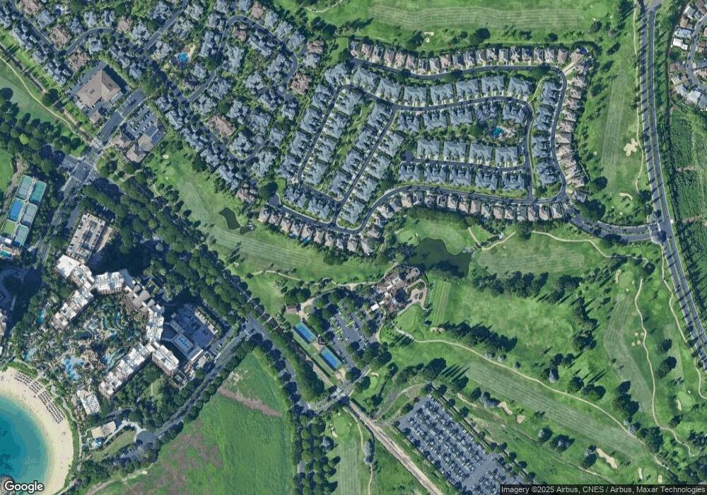
Map
Nearby Homes
- 92-1015 Koio Dr Unit S-57
- 92-1015 Koio Dr Unit S-58
- 92-1015 Koio Dr Unit S-52
- 92-1057 Koio Dr Unit F
- 92-1087 Koio Dr Unit M29-3 (Apt C)
- 92-1081 Koio Dr Unit M265
- 92-1081 Koio Dr Unit M261
- 92-1051 Koio Dr Unit M83
- 92-1027 Koio Dr Unit B (M10-2)
- 92-1033 Koio Dr Unit M156
- 92-1067 Koio Dr Unit M426
- 92-1071 Koio Dr Unit M442
- 92-1192 Olani St Unit 613
- 92-1037 Koio Dr Unit M11
- 92-1017 Koio Dr Unit S-30
- 92-1196 Olani St Unit 632
- 92-1214 Olani St Unit 721
- 92-1164 Olani St Unit 473
- 92-1132 Olani St Unit 313
- 92-365 Malahuna Place
- 92-1015 Koio Dr Unit K
- 92-1015 Koio Dr Unit S45
- 92-1017 Koio Dr Unit K
- 92-1017 Koio Dr Unit G
- 92-1015 Koio Dr Unit X
- 92-1015 Koio Dr Unit U
- 92-1019 Koio Dr Unit U
- 92-1017 Koio Dr Unit D
- 92-1017 Koio Dr Unit P
- 92-1019 Koio Dr Unit S14
- 92-1015 Koio Dr Unit S47
- 92-1015 Koio Dr Unit R
- 92-1015 Koio Dr Unit N
- 92-1015 Koio Dr Unit M
- 92-1015 Koio Dr Unit S54
- 92-1015 Koio Dr Unit F
- 92-1015 Koio Dr Unit J
- 92-1015 Koio Dr Unit S56
- 92-1019 Koio Dr Unit J
- 92-1019 Koio Dr Unit A