92-1021 Koio Dr Unit M134 Kapolei, HI 96707
Estimated Value: $1,117,000 - $1,407,000
3
Beds
3
Baths
1,625
Sq Ft
$796/Sq Ft
Est. Value
About This Home
This home is located at 92-1021 Koio Dr Unit M134, Kapolei, HI 96707 and is currently estimated at $1,293,229, approximately $795 per square foot. 92-1021 Koio Dr Unit M134 is a home located in Honolulu County with nearby schools including Barbers Point Elementary School, Kapolei Middle School, and Kapolei High School.
Ownership History
Date
Name
Owned For
Owner Type
Purchase Details
Closed on
Mar 6, 2020
Sold by
Dunbar Christopher R and The Christopher R Dunbar Trust
Bought by
Mullins William Lee and Mullins Somruedee
Current Estimated Value
Home Financials for this Owner
Home Financials are based on the most recent Mortgage that was taken out on this home.
Original Mortgage
$666,000
Outstanding Balance
$589,838
Interest Rate
3.5%
Mortgage Type
VA
Estimated Equity
$703,391
Purchase Details
Closed on
Sep 27, 2012
Sold by
Dunbar Christopher Raymond
Bought by
Dunbar Christopher R
Purchase Details
Closed on
Apr 26, 2010
Sold by
Heaman William George and Heaman Wanda Lynn
Bought by
Dunbar Christopher Raymond
Home Financials for this Owner
Home Financials are based on the most recent Mortgage that was taken out on this home.
Original Mortgage
$130,000
Interest Rate
4.92%
Mortgage Type
New Conventional
Purchase Details
Closed on
May 23, 2006
Sold by
Trowbridge John Lansing and Trowbridge Jill Anna
Bought by
Heaman William George and Heaman Wanda Lynn
Home Financials for this Owner
Home Financials are based on the most recent Mortgage that was taken out on this home.
Original Mortgage
$624,000
Interest Rate
6.62%
Mortgage Type
Fannie Mae Freddie Mac
Purchase Details
Closed on
Oct 31, 2005
Sold by
Centex Homes
Bought by
Trowridge John Lansing and Trowbridge Jill Anna
Home Financials for this Owner
Home Financials are based on the most recent Mortgage that was taken out on this home.
Original Mortgage
$493,500
Interest Rate
7.87%
Mortgage Type
New Conventional
Create a Home Valuation Report for This Property
The Home Valuation Report is an in-depth analysis detailing your home's value as well as a comparison with similar homes in the area
Home Values in the Area
Average Home Value in this Area
Purchase History
| Date | Buyer | Sale Price | Title Company |
|---|---|---|---|
| Mullins William Lee | $740,000 | Fam | |
| Mullins William Lee | $740,000 | Fam | |
| Dunbar Christopher R | -- | None Available | |
| Dunbar Christopher R | -- | None Available | |
| Dunbar Christopher Raymond | $530,000 | Fam | |
| Heaman William George | $780,000 | Itc | |
| Trowridge John Lansing | $658,920 | Itc |
Source: Public Records
Mortgage History
| Date | Status | Borrower | Loan Amount |
|---|---|---|---|
| Open | Mullins William Lee | $666,000 | |
| Closed | Mullins William Lee | $666,000 | |
| Previous Owner | Dunbar Christopher Raymond | $130,000 | |
| Previous Owner | Heaman William George | $624,000 | |
| Previous Owner | Trowridge John Lansing | $493,500 |
Source: Public Records
Tax History Compared to Growth
Tax History
| Year | Tax Paid | Tax Assessment Tax Assessment Total Assessment is a certain percentage of the fair market value that is determined by local assessors to be the total taxable value of land and additions on the property. | Land | Improvement |
|---|---|---|---|---|
| 2025 | $3,048 | $1,275,500 | $159,300 | $1,116,200 |
| 2024 | $3,048 | $1,030,900 | $159,300 | $871,600 |
| 2023 | $2,545 | $967,100 | $159,300 | $807,800 |
| 2022 | $2,512 | $857,600 | $159,300 | $698,300 |
| 2021 | $2,219 | $774,100 | $152,100 | $622,000 |
| 2020 | $2,633 | $752,400 | $173,800 | $578,600 |
| 2019 | $2,524 | $738,600 | $163,000 | $575,600 |
| 2018 | $2,524 | $721,000 | $163,000 | $558,000 |
| 2017 | $2,392 | $683,400 | $163,000 | $520,400 |
| 2016 | $2,380 | $680,100 | $148,500 | $531,600 |
| 2015 | $2,336 | $667,500 | $144,900 | $522,600 |
| 2014 | $1,770 | $580,400 | $157,800 | $422,600 |
Source: Public Records
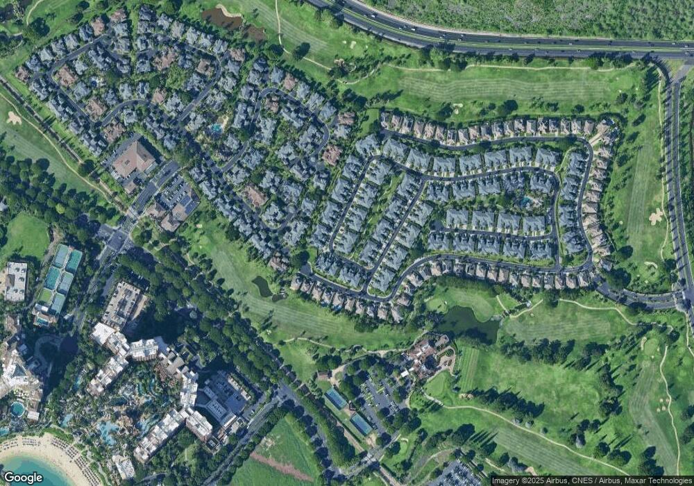
Map
Nearby Homes
- 92-1037 Koio Dr Unit M11
- 92-1033 Koio Dr Unit M156
- 92-1027 Koio Dr Unit B (M10-2)
- 92-1196 Olani St Unit 632
- 92-1081 Koio Dr Unit M265
- 92-1051 Koio Dr Unit M82
- 92-1051 Koio Dr Unit M83
- 92-1015 Koio Dr Unit S-57
- 92-1015 Koio Dr Unit S-58
- 92-1015 Koio Dr Unit S-52
- 92-1057 Koio Dr Unit F
- 92-1087 Koio Dr Unit M29-3 (Apt C)
- 92-1075 Koio Dr Unit M233
- 92-1061 Koio Dr Unit M395
- 92-1071 Koio Dr Unit M442
- 92-1067 Koio Dr Unit M426
- 92-1134 Olani St Unit 322
- 92-1104 Olani St Unit 171
- 92-1096 Olani St Unit 132
- 92-1090 Olani St Unit 102
- 92-1021 Koio Dr Unit M136
- 92-1021 Koio Dr Unit M135
- 92-1021 Koio Dr Unit M133
- 92-1021 Koio Dr Unit M131
- 92-1021 Koio Dr Unit M132
- 92-1021 Koio Dr Unit M13-3
- 92-1021 Koio Dr Unit M13-5
- 92-1021 Koio Dr Unit M13-6
- 92-1021 Koio Dr Unit M13-6
- 92-1021 Koio Dr Unit M13-4
- 92-1035 Koio Dr Unit F
- 92-1035 Koio Dr Unit M145
- 92-1035 Koio Dr Unit M143
- 92-1035 Koio Dr Unit M142
- 92-1035 Koio Dr Unit M141
- 92-1035 Koio Dr Unit M144
- 92-1035 Koio Dr Unit F M14-6
- 92-1035 Koio Dr Unit D M14-4
- 92-1035 Koio Dr Unit C
- 92-1023 Koio Dr Unit M122