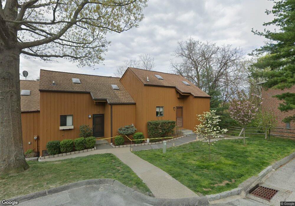
92 Amber Dr Croton On Hudson, NY 10520
Estimated Value: $531,000 - $644,000
2
Beds
2
Baths
1,631
Sq Ft
$355/Sq Ft
Est. Value
About This Home
This home is located at 92 Amber Dr, Croton On Hudson, NY 10520 and is currently estimated at $579,567, approximately $355 per square foot. 92 Amber Dr is a home located in Westchester County with nearby schools including Frank G. Lindsey Elementary School, Blue Mountain Middle School, and Hendrick Hudson High School.
Ownership History
Date
Name
Owned For
Owner Type
Purchase Details
Closed on
Sep 14, 2006
Sold by
Johnson Michael G and Tessitore Karyn A
Bought by
Jones Lawrence R and Jones Tara B
Current Estimated Value
Home Financials for this Owner
Home Financials are based on the most recent Mortgage that was taken out on this home.
Original Mortgage
$369,000
Outstanding Balance
$220,873
Interest Rate
6.61%
Mortgage Type
Purchase Money Mortgage
Estimated Equity
$358,694
Purchase Details
Closed on
Jan 20, 2004
Sold by
Finaro John
Bought by
Johnson Michael G and Tessitore Karyn A
Home Financials for this Owner
Home Financials are based on the most recent Mortgage that was taken out on this home.
Original Mortgage
$260,000
Interest Rate
5.8%
Mortgage Type
Unknown
Create a Home Valuation Report for This Property
The Home Valuation Report is an in-depth analysis detailing your home's value as well as a comparison with similar homes in the area
Home Values in the Area
Average Home Value in this Area
Purchase History
| Date | Buyer | Sale Price | Title Company |
|---|---|---|---|
| Jones Lawrence R | $410,000 | Lawyers Title Ins | |
| Johnson Michael G | $325,000 | The Judicial Title Ins Agenc |
Source: Public Records
Mortgage History
| Date | Status | Borrower | Loan Amount |
|---|---|---|---|
| Open | Jones Lawrence R | $369,000 | |
| Previous Owner | Johnson Michael G | $260,000 |
Source: Public Records
Tax History Compared to Growth
Tax History
| Year | Tax Paid | Tax Assessment Tax Assessment Total Assessment is a certain percentage of the fair market value that is determined by local assessors to be the total taxable value of land and additions on the property. | Land | Improvement |
|---|---|---|---|---|
| 2024 | $9,148 | $4,200 | $175 | $4,025 |
| 2023 | $8,686 | $4,200 | $175 | $4,025 |
| 2022 | $8,653 | $4,200 | $175 | $4,025 |
| 2021 | $8,404 | $4,200 | $175 | $4,025 |
| 2020 | $8,133 | $4,200 | $175 | $4,025 |
| 2019 | $6,521 | $4,200 | $175 | $4,025 |
| 2018 | $11,338 | $4,200 | $175 | $4,025 |
| 2017 | $2,737 | $4,200 | $175 | $4,025 |
| 2016 | $9,041 | $4,200 | $175 | $4,025 |
| 2015 | -- | $4,200 | $175 | $4,025 |
| 2014 | -- | $4,200 | $175 | $4,025 |
| 2013 | -- | $4,200 | $175 | $4,025 |
Source: Public Records
Map
Nearby Homes
- 12 Scenic Dr Unit K
- 13 Scenic Dr Unit U
- 13 Scenic Dr Unit M
- 13 Scenic Dr Unit D
- 14 Scenic Dr Unit 14T
- 5 Robin Ln
- 15 Scenic Dr Unit D
- 15 Scenic Dr Unit E
- 15 Scenic Dr Unit K
- 16 Scenic Dr Unit X
- 16 Scenic Dr Unit S
- 16 Scenic Dr Unit N
- 16 Scenic Dr Unit M
- 8 Prickly Pear Hill Rd
- 3 Prickly Pear Hill Rd
- 14 Amalfi Dr
- 1260 Albany Post Rd
- 114 Laurel Hill Rd
- 152 Old Post Rd N
- 110 Laurel Hill Rd