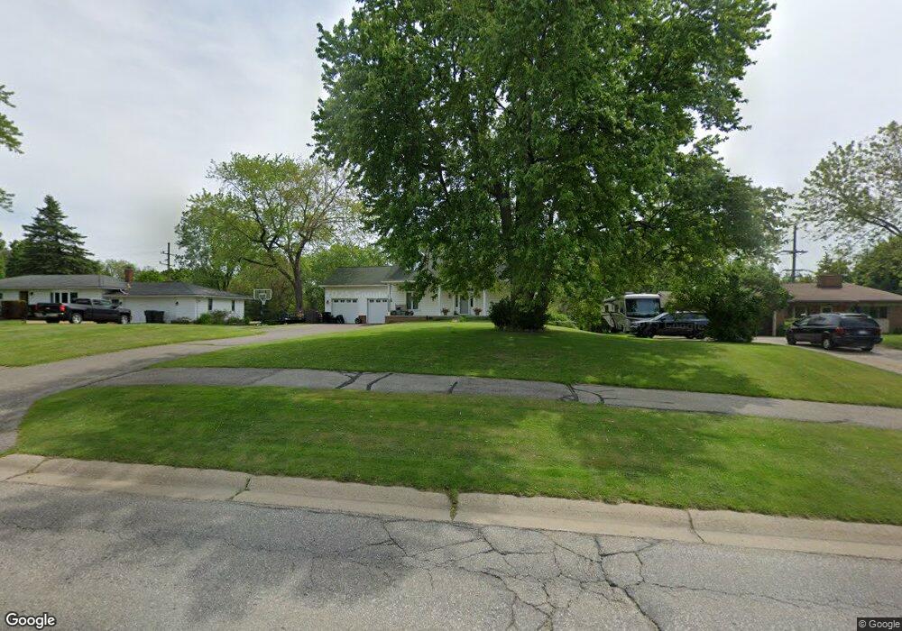
92 Brewster Rd Rochester Hills, MI 48309
Estimated Value: $524,000 - $542,000
3
Beds
3
Baths
2,254
Sq Ft
$238/Sq Ft
Est. Value
About This Home
This home is located at 92 Brewster Rd, Rochester Hills, MI 48309 and is currently estimated at $536,199, approximately $237 per square foot. 92 Brewster Rd is a home located in Oakland County with nearby schools including Long Meadow Elementary School, West Middle School, and Rochester High School.
Ownership History
Date
Name
Owned For
Owner Type
Purchase Details
Closed on
Apr 29, 2005
Sold by
Oxford Bank
Bought by
Miceli Joseph A and Miceli Maria
Current Estimated Value
Purchase Details
Closed on
Nov 30, 2004
Sold by
Ferguson Joel and Ferguson Fred
Bought by
Oxford Bank
Purchase Details
Closed on
Oct 10, 2000
Sold by
Ferguson Fred
Bought by
Ferguson Joel
Purchase Details
Closed on
Oct 15, 1999
Sold by
Byrnes Timothy D
Bought by
Ferguson Fred
Home Financials for this Owner
Home Financials are based on the most recent Mortgage that was taken out on this home.
Original Mortgage
$220,000
Interest Rate
8.29%
Purchase Details
Closed on
Oct 29, 1997
Sold by
Loretta A Furlong Tr
Bought by
Ferguson Fred
Purchase Details
Closed on
Nov 7, 1995
Sold by
Furlong John
Bought by
Furlong Loretta A
Create a Home Valuation Report for This Property
The Home Valuation Report is an in-depth analysis detailing your home's value as well as a comparison with similar homes in the area
Home Values in the Area
Average Home Value in this Area
Purchase History
| Date | Buyer | Sale Price | Title Company |
|---|---|---|---|
| Miceli Joseph A | -- | Philip R Seaver Title Co Inc | |
| Oxford Bank | $269,880 | -- | |
| Ferguson Joel | -- | -- | |
| Ferguson Fred | $78,000 | -- | |
| Ferguson Fred | $75,000 | -- | |
| Furlong Loretta A | -- | -- |
Source: Public Records
Mortgage History
| Date | Status | Borrower | Loan Amount |
|---|---|---|---|
| Previous Owner | Ferguson Fred | $220,000 |
Source: Public Records
Tax History Compared to Growth
Tax History
| Year | Tax Paid | Tax Assessment Tax Assessment Total Assessment is a certain percentage of the fair market value that is determined by local assessors to be the total taxable value of land and additions on the property. | Land | Improvement |
|---|---|---|---|---|
| 2022 | $2,396 | $215,330 | $0 | $0 |
| 2018 | $4,090 | $170,300 | $0 | $0 |
| 2017 | $3,891 | $169,810 | $0 | $0 |
| 2015 | -- | $150,610 | $0 | $0 |
| 2014 | -- | $130,980 | $0 | $0 |
| 2011 | -- | $117,120 | $0 | $0 |
Source: Public Records
Map
Nearby Homes
- 2377 Walton Blvd Unit 15
- 2245 Walton Blvd Unit 58
- 65 Stratford Ln
- 2222 Walton Blvd
- 87 E Maryknoll Rd
- 51 Manor Way Unit 30
- 2247 Walton Blvd Unit 46
- 100 Longford Dr
- 110 Stratford Ln
- 73 Nevada Ave
- 123 Longford Dr
- 147 Stratford Ln Unit 129
- 2793 Steamboat Springs Dr
- 2771 Hillendale Dr
- 388 W Maryknoll Rd
- 2152 Avoncrest Dr
- 842 Timberline Dr
- 2452 Lassiter Dr
- 626 Wilwood Rd
- 184 Shagbark Dr
- 80 Brewster Rd
- 104 Brewster Rd
- 2391 Arizona Ct
- 118 Brewster Rd
- 2390 Arizona Ct
- 2490 Walton Blvd
- 2490 Walton Blvd
- 2490 Walton Blvd Unit 100
- 2490 Walton Blvd Unit 201
- 2490 Walton Blvd Unit 102
- 2490 Walton Blvd Unit 101
- 132 Brewster Rd
- 2373 Arizona Ct
- 106 Mulberry Ln Unit 6
- 106 Mulberry Ln
- 32 Brewster Rd
- 118 Mulberry Ln
- 2372 Arizona Ct
- 130 Mulberry Ln
- 2355 Arizona Ct